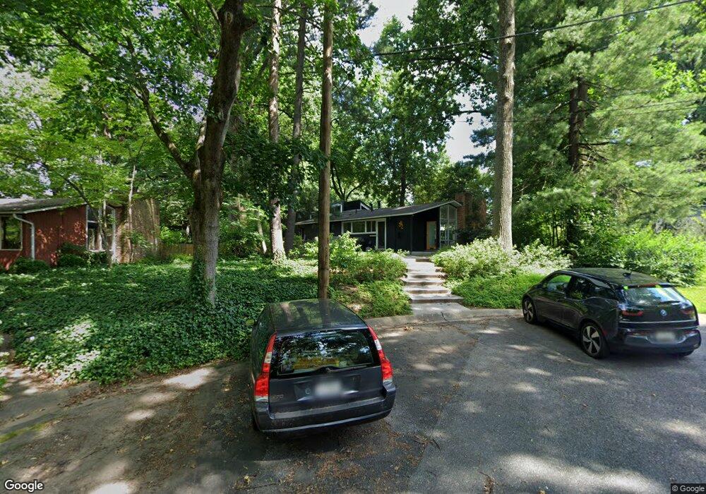
3412 Highview Ct Silver Spring, MD 20902
North Kensington NeighborhoodEstimated Value: $802,000 - $862,000
Studio
1
Bath
2,190
Sq Ft
$380/Sq Ft
Est. Value
About This Home
This home is located at 3412 Highview Ct, Silver Spring, MD 20902 and is currently estimated at $832,677, approximately $380 per square foot. 3412 Highview Ct is a home located in Montgomery County with nearby schools including Rock View Elementary School, Newport Mill Middle School, and Albert Einstein High School.
Ownership History
Date
Name
Owned For
Owner Type
Purchase Details
Closed on
Oct 26, 2011
Sold by
Malsbary Dorothea Musgrave and Musgrave Dorothea
Bought by
Bloomberg Janet and Brady Sean
Current Estimated Value
Home Financials for this Owner
Home Financials are based on the most recent Mortgage that was taken out on this home.
Original Mortgage
$350,170
Outstanding Balance
$238,667
Interest Rate
4.01%
Mortgage Type
New Conventional
Estimated Equity
$594,010
Purchase Details
Closed on
May 31, 1991
Bought by
Musgrave Dorothea
Create a Home Valuation Report for This Property
The Home Valuation Report is an in-depth analysis detailing your home's value as well as a comparison with similar homes in the area
Home Values in the Area
Average Home Value in this Area
Purchase History
| Date | Buyer | Sale Price | Title Company |
|---|---|---|---|
| Bloomberg Janet | $368,600 | None Available | |
| Musgrave Dorothea | $157,400 | -- |
Source: Public Records
Mortgage History
| Date | Status | Borrower | Loan Amount |
|---|---|---|---|
| Open | Bloomberg Janet | $350,170 |
Source: Public Records
Tax History
| Year | Tax Paid | Tax Assessment Tax Assessment Total Assessment is a certain percentage of the fair market value that is determined by local assessors to be the total taxable value of land and additions on the property. | Land | Improvement |
|---|---|---|---|---|
| 2025 | $7,802 | $732,267 | -- | -- |
| 2024 | $7,802 | $614,200 | $250,300 | $363,900 |
| 2023 | $7,072 | $612,867 | $0 | $0 |
| 2022 | $4,929 | $611,533 | $0 | $0 |
| 2021 | $13,254 | $610,200 | $250,300 | $359,900 |
| 2020 | $11,386 | $573,367 | $0 | $0 |
| 2019 | $5,693 | $536,533 | $0 | $0 |
| 2018 | $3,872 | $350,500 | $250,300 | $100,200 |
| 2017 | $3,624 | $344,600 | $0 | $0 |
| 2016 | -- | $338,700 | $0 | $0 |
| 2015 | $2,985 | $332,800 | $0 | $0 |
| 2014 | $2,985 | $331,067 | $0 | $0 |
Source: Public Records
Map
Nearby Homes
- 11814 College View Dr
- 3509 Astoria Rd
- 2890 Schoolhouse Cir
- 2904 Fenimore Rd
- 3610 Spruell Dr
- 3027 Medway St
- 3007 Medway St
- 3921 Lantern Dr
- 11209 Midvale Rd
- 3726 Ferrara Dr
- 3720 Ferrara Dr
- 4008 Adams Dr
- 11006 Madison St
- 2704 Fenimore Rd
- 3410 Embry St
- 3333 University Blvd W Unit 409
- 12106 Bluhill Rd
- 3355 University Blvd W
- 3355 University Blvd W Unit 206
- 3355 University Blvd W
- 3410 Highview Ct
- 3414 Highview Ct
- 11506 Regnid Dr
- 3416 Highview Ct
- 11508 Regnid Dr
- 3408 Pendleton Dr
- 11504 Regnid Dr
- 11510 Regnid Dr
- 11614 College View Dr
- 11616 College View Dr
- 11612 College View Dr
- 3418 Highview Ct
- 11507 Highview Ave
- 11502 Regnid Dr
- 11509 Highview Ave
- 11618 College View Dr
- 11512 Regnid Dr
- 11610 College View Dr
- 11500 Regnid Dr
- 3420 Pendleton Dr
Your Personal Tour Guide
Ask me questions while you tour the home.