3415 Louisville Rd Salvisa, KY 40372
Estimated Value: $222,000 - $340,075
3
Beds
2
Baths
--
Sq Ft
28.26
Acres
About This Home
This home is located at 3415 Louisville Rd, Salvisa, KY 40372 and is currently estimated at $292,769. 3415 Louisville Rd is a home located in Mercer County with nearby schools including Mercer County Elementary School, Mercer County Intermediate School, and King Middle School.
Ownership History
Date
Name
Owned For
Owner Type
Purchase Details
Closed on
Mar 1, 2021
Sold by
Peyton Richard
Bought by
Gentry William and Gentry Stephanie
Current Estimated Value
Home Financials for this Owner
Home Financials are based on the most recent Mortgage that was taken out on this home.
Original Mortgage
$177,074
Outstanding Balance
$103,265
Interest Rate
2.7%
Mortgage Type
New Conventional
Estimated Equity
$189,504
Purchase Details
Closed on
Apr 26, 2005
Sold by
Peyton R and Peyton D.
Bought by
Peyton Richard and Peyton Lucretia
Create a Home Valuation Report for This Property
The Home Valuation Report is an in-depth analysis detailing your home's value as well as a comparison with similar homes in the area
Home Values in the Area
Average Home Value in this Area
Purchase History
| Date | Buyer | Sale Price | Title Company |
|---|---|---|---|
| Gentry William | $175,000 | None Available | |
| Peyton Richard | $90,000 | -- |
Source: Public Records
Mortgage History
| Date | Status | Borrower | Loan Amount |
|---|---|---|---|
| Open | Gentry William | $177,074 |
Source: Public Records
Tax History Compared to Growth
Tax History
| Year | Tax Paid | Tax Assessment Tax Assessment Total Assessment is a certain percentage of the fair market value that is determined by local assessors to be the total taxable value of land and additions on the property. | Land | Improvement |
|---|---|---|---|---|
| 2024 | $1,720 | $190,324 | $12,944 | $177,380 |
| 2023 | $1,736 | $190,324 | $0 | $0 |
| 2022 | $1,770 | $190,324 | $0 | $0 |
| 2021 | $1,781 | $190,324 | $0 | $0 |
| 2020 | $2,253 | $190,324 | $12,944 | $177,380 |
| 2019 | $2,288 | $190,324 | $12,944 | $177,380 |
| 2018 | $2,236 | $190,324 | $0 | $0 |
| 2017 | $2,160 | $190,324 | $0 | $0 |
| 2016 | $2,088 | $187,456 | $0 | $0 |
| 2015 | $2,030 | $187,456 | $10,076 | $177,380 |
| 2014 | $2,030 | $187,456 | $10,076 | $177,380 |
| 2010 | -- | $187,456 | $10,076 | $177,380 |
Source: Public Records
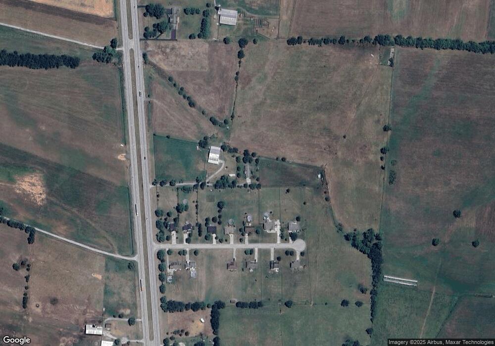
Map
Nearby Homes
- 110 Station Dr
- 143 Providence Rd
- 3062 Louisville Rd
- 110 Gracelynn Cir
- 125 Talmage-Mayo Rd
- 151 Man-O-war Dr
- 280 Talmage Mayo Rd
- 127 Man-O-war Dr
- Tract 3 Cole Rd
- Tract 3a Cole Rd
- 420 Cole Ln
- 935 Keenon Rd
- 4560 Louisville Rd
- 241 Cottonwood St
- 236 Main St
- 2 Kirkwood Rd
- 3 Kirkwood Rd
- 4 Kirkwood Rd
- 2309 Oregon Rd
- 5400 Louisville Rd
- 113 Station Dr
- 111 Station Dr
- 109 Station Dr
- 107 Station Dr
- 105 Station Dr
- 112 Station Dr
- 0 Station Dr
- 103 Station Dr
- 108 Station Dr
- 106 Station Dr
- 101 Station Dr
- 3633 Louisville Rd
- 102 Station Dr
- 235 Cummins Ferry Rd
- 100 Station Dr
- 3505 Louisville Rd
- 161 Cummins Ferry Rd
- Tract 20 Louisville Rd
- 3355 Louisville Rd
- 195 Cummins Ferry Rd