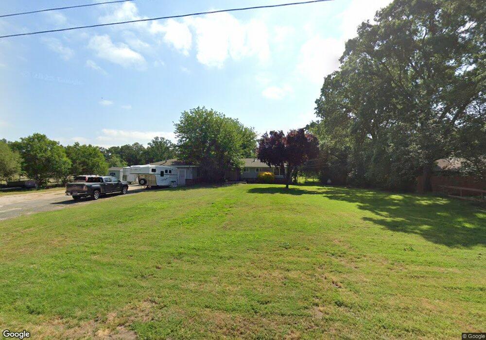
3415 Opal Ln Loomis, CA 95650
Estimated Value: $661,138 - $750,000
4
Beds
2
Baths
1,457
Sq Ft
$483/Sq Ft
Est. Value
About This Home
This home is located at 3415 Opal Ln, Loomis, CA 95650 and is currently estimated at $703,785, approximately $483 per square foot. 3415 Opal Ln is a home located in Placer County with nearby schools including Del Oro High School, Holy Cross Lutheran Academy, and Sierra Foothills Academy.
Ownership History
Date
Name
Owned For
Owner Type
Purchase Details
Closed on
Jun 7, 2022
Sold by
Sweet James M and Sweet Julie E
Bought by
J & J Sweet Family Trust
Current Estimated Value
Purchase Details
Closed on
Oct 13, 2004
Sold by
Freeman Dan W
Bought by
Sweet James M and Sweet Julie E
Home Financials for this Owner
Home Financials are based on the most recent Mortgage that was taken out on this home.
Original Mortgage
$283,000
Interest Rate
5.72%
Mortgage Type
Purchase Money Mortgage
Purchase Details
Closed on
Aug 6, 1996
Sold by
Freeman Dan W and Freeman Theresa A
Bought by
Freeman Dan W and Freeman Theresa A
Home Financials for this Owner
Home Financials are based on the most recent Mortgage that was taken out on this home.
Original Mortgage
$25,000
Interest Rate
8.2%
Mortgage Type
Purchase Money Mortgage
Create a Home Valuation Report for This Property
The Home Valuation Report is an in-depth analysis detailing your home's value as well as a comparison with similar homes in the area
Home Values in the Area
Average Home Value in this Area
Purchase History
| Date | Buyer | Sale Price | Title Company |
|---|---|---|---|
| J & J Sweet Family Trust | -- | None Listed On Document | |
| Sweet James M | $435,000 | Financial Title Company | |
| Freeman Dan W | -- | Sierra Valley Title Company |
Source: Public Records
Mortgage History
| Date | Status | Borrower | Loan Amount |
|---|---|---|---|
| Previous Owner | Sweet James M | $283,000 | |
| Previous Owner | Freeman Dan W | $25,000 |
Source: Public Records
Tax History
| Year | Tax Paid | Tax Assessment Tax Assessment Total Assessment is a certain percentage of the fair market value that is determined by local assessors to be the total taxable value of land and additions on the property. | Land | Improvement |
|---|---|---|---|---|
| 2025 | $6,617 | $606,338 | $243,927 | $362,411 |
| 2023 | $6,617 | $582,795 | $234,456 | $348,339 |
| 2022 | $6,496 | $571,368 | $229,859 | $341,509 |
| 2021 | $6,327 | $560,165 | $225,352 | $334,813 |
| 2020 | $5,536 | $488,000 | $196,300 | $291,700 |
| 2019 | $5,554 | $489,197 | $196,800 | $292,397 |
| 2018 | $5,101 | $464,000 | $186,700 | $277,300 |
| 2017 | $4,950 | $449,000 | $180,600 | $268,400 |
| 2016 | $4,475 | $405,000 | $162,900 | $242,100 |
| 2015 | $4,216 | $383,000 | $154,100 | $228,900 |
| 2014 | $3,945 | $356,000 | $143,200 | $212,800 |
Source: Public Records
Map
Nearby Homes
- 3420 Grove Cir
- 3890 Delmar Ave
- 3428 Colvin Dr
- 5567 Myrtle Dr
- 0 Webb St
- 5760 Webb St
- 3293 Stone Field Way
- 3301 Stone Field Way
- 5585 Tudor Way
- 4020 Silver Star Ct
- 3005 Chimney Ct
- 5932 Angelo Dr
- 4035 Coldwater Dr
- 4041 Coldwater Dr
- 4127 Tahoe Vista Dr
- 3796 Coldwater Dr
- 2615 Delmar Ave
- 2367 Clubhouse Dr
- 4067 Whitney Vista Ln
- 4068 Whitney Vista Ln
Your Personal Tour Guide
Ask me questions while you tour the home.