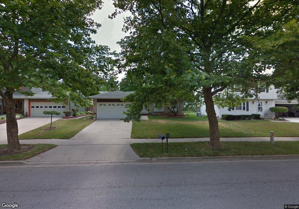
3415 Swanee Dr Lansing, MI 48911
Wexford Heights NeighborhoodEstimated Value: $174,000 - $206,000
--
Bed
1
Bath
1,261
Sq Ft
$146/Sq Ft
Est. Value
About This Home
This home is located at 3415 Swanee Dr, Lansing, MI 48911 and is currently estimated at $184,308, approximately $146 per square foot. 3415 Swanee Dr is a home located in Ingham County with nearby schools including Reo Elementary School, Attwood School, and Everett High School.
Ownership History
Date
Name
Owned For
Owner Type
Purchase Details
Closed on
Mar 11, 2015
Sold by
Earven Deborah
Bought by
Earven Deborah and Earvin Miesha
Current Estimated Value
Purchase Details
Closed on
Jun 8, 2002
Sold by
Earven Larry L
Bought by
Earven Deborah
Home Financials for this Owner
Home Financials are based on the most recent Mortgage that was taken out on this home.
Original Mortgage
$65,000
Interest Rate
6.93%
Mortgage Type
Purchase Money Mortgage
Create a Home Valuation Report for This Property
The Home Valuation Report is an in-depth analysis detailing your home's value as well as a comparison with similar homes in the area
Home Values in the Area
Average Home Value in this Area
Purchase History
| Date | Buyer | Sale Price | Title Company |
|---|---|---|---|
| Earven Deborah | -- | None Available | |
| Earven Deborah | -- | Fidelity National Title Ins |
Source: Public Records
Mortgage History
| Date | Status | Borrower | Loan Amount |
|---|---|---|---|
| Closed | Earven Deborah | $65,000 |
Source: Public Records
Tax History Compared to Growth
Tax History
| Year | Tax Paid | Tax Assessment Tax Assessment Total Assessment is a certain percentage of the fair market value that is determined by local assessors to be the total taxable value of land and additions on the property. | Land | Improvement |
|---|---|---|---|---|
| 2025 | $3,036 | $93,300 | $10,100 | $83,200 |
| 2024 | $24 | $75,300 | $10,100 | $65,200 |
| 2023 | $2,847 | $67,800 | $10,100 | $57,700 |
| 2022 | $2,566 | $58,900 | $9,200 | $49,700 |
| 2021 | $2,513 | $56,400 | $8,000 | $48,400 |
| 2020 | $2,498 | $52,400 | $8,000 | $44,400 |
| 2019 | $2,394 | $46,800 | $8,000 | $38,800 |
| 2018 | $2,244 | $41,200 | $8,000 | $33,200 |
| 2017 | $2,148 | $41,200 | $8,000 | $33,200 |
| 2016 | $2,054 | $39,300 | $8,000 | $31,300 |
| 2015 | $2,054 | $37,700 | $15,951 | $21,749 |
| 2014 | $2,054 | $36,400 | $22,085 | $14,315 |
Source: Public Records
Map
Nearby Homes
- 5100 Wexford Rd
- 5424 S Waverly Rd
- 3814 Coachlight Common St
- 4809 Ballard Rd
- 5830 Granary Ln
- 4828 Ingham St
- 2416 Midwood St
- 2923 Newark Ave
- 3600 Ronald St
- 6050 S Waverly Rd
- 3115 Risdale Ave
- 4245 W Jolly Rd Unit 197
- 2045 Moffitt St
- 4328 Chadburne Dr
- 6030 Piper Ave
- 4628 Pleasant Grove Rd
- 4000 Churchill Ave
- 4009 Heathgate Dr
- 2816 Greenbelt Dr
- 4018 Clayborn Rd
- 3409 Swanee Dr
- 3421 Swanee Dr
- 3418 Penrose Dr
- 3427 Swanee Dr
- 3412 Penrose Dr
- 3422 Penrose Dr
- 3428 Penrose Dr
- 3404 Penrose Dr
- 3401 Swanee Dr
- 3416 Swanee Dr
- 5411 Wexford Rd
- 3422 Swanee Dr
- 3422 Shawnee Dr
- 3410 Swanee Dr
- 3400 Penrose Dr
- 3426 Swanee Dr
- 3406 Swanee Dr
- 5425 Wexford Rd
- 3325 Swanee Dr
- 3400 Swanee Dr