Estimated Value: $163,000 - $291,000
3
Beds
2
Baths
1,487
Sq Ft
$137/Sq Ft
Est. Value
About This Home
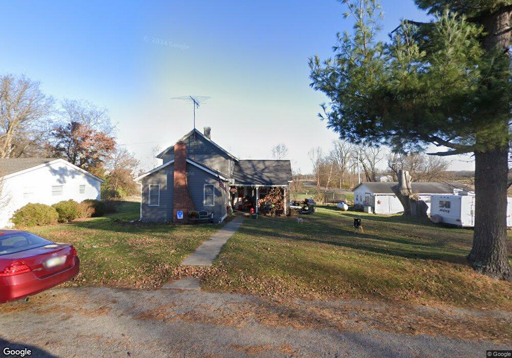
This home is located at 3417 Flood St, Cable, OH 43009 and is currently estimated at $204,162, approximately $137 per square foot. 3417 Flood St is a home located in Champaign County with nearby schools including Triad Elementary School, Triad Middle School, and Triad High School.
Ownership History
Date
Name
Owned For
Owner Type
Purchase Details
Closed on
Nov 23, 2009
Sold by
Dingledine Michael B and Dingledine Amanda J
Bought by
Thomas Ruth Ann
Current Estimated Value
Purchase Details
Closed on
Aug 10, 2006
Sold by
Thomas Ruth Ann
Bought by
Dingledine Michael B and Dingledine Amanda J
Home Financials for this Owner
Home Financials are based on the most recent Mortgage that was taken out on this home.
Original Mortgage
$74,411
Interest Rate
6.85%
Mortgage Type
FHA
Purchase Details
Closed on
Feb 3, 2006
Sold by
Estate Of John E Thomas
Bought by
Thomas Ruth Ann
Create a Home Valuation Report for This Property
The Home Valuation Report is an in-depth analysis detailing your home's value as well as a comparison with similar homes in the area
Home Values in the Area
Average Home Value in this Area
Purchase History
| Date | Buyer | Sale Price | Title Company |
|---|---|---|---|
| Thomas Ruth Ann | -- | Attorney | |
| Dingledine Michael B | $75,000 | None Available | |
| Thomas Ruth Ann | -- | None Available |
Source: Public Records
Mortgage History
| Date | Status | Borrower | Loan Amount |
|---|---|---|---|
| Previous Owner | Dingledine Michael B | $74,411 |
Source: Public Records
Tax History Compared to Growth
Tax History
| Year | Tax Paid | Tax Assessment Tax Assessment Total Assessment is a certain percentage of the fair market value that is determined by local assessors to be the total taxable value of land and additions on the property. | Land | Improvement |
|---|---|---|---|---|
| 2024 | $1,363 | $34,650 | $5,350 | $29,300 |
| 2023 | $1,363 | $34,650 | $5,350 | $29,300 |
| 2022 | $1,380 | $34,650 | $5,350 | $29,300 |
| 2021 | $1,198 | $27,720 | $4,280 | $23,440 |
| 2020 | $1,198 | $27,720 | $4,280 | $23,440 |
| 2019 | $1,181 | $27,720 | $4,280 | $23,440 |
| 2018 | $958 | $22,500 | $4,030 | $18,470 |
| 2017 | $909 | $22,500 | $4,030 | $18,470 |
| 2016 | $902 | $22,500 | $4,030 | $18,470 |
| 2015 | $864 | $21,710 | $4,030 | $17,680 |
| 2014 | $860 | $21,710 | $4,030 | $17,680 |
| 2013 | $853 | $21,710 | $4,030 | $17,680 |
Source: Public Records
Map
Nearby Homes
- 7521 Brush Lake Rd
- 5061 Cox Rd
- 0 Cox Rd Lot 6
- 7511 E US Highway 36
- 170 N Parkview Rd
- 0 N Ludlow Rd
- Lot 2 N Ludlow Rd
- 2889 E State Route 296
- 5872 E Us Highway 36
- 7181 Long Pond Rd
- 701 Mill St Unit 5
- 701 Mill St Unit 167
- 0 Urbana Woodstock Unit Lot 11 899909
- 0 Urbana Woodstock Unit 223037403
- 0 Urbana Woodstock Unit 1028849
- 7588 Stringtown Rd
- 28 Lloyd Dr
- 10590 County Road 41
- 10643 Urbana Woodstock Pike