3419 Hursey Dr Titusville, FL 32796
Estimated Value: $256,000 - $286,086
3
Beds
2
Baths
1,092
Sq Ft
$247/Sq Ft
Est. Value
About This Home
This home is located at 3419 Hursey Dr, Titusville, FL 32796 and is currently estimated at $269,522, approximately $246 per square foot. 3419 Hursey Dr is a home located in Brevard County with nearby schools including Apollo Elementary School, James Madison Middle School, and Astronaut High School.
Ownership History
Date
Name
Owned For
Owner Type
Purchase Details
Closed on
Aug 24, 2011
Sold by
Apache Junction Inc
Bought by
Guerra Miguel A and Guerra Miguel
Current Estimated Value
Purchase Details
Closed on
Jul 21, 2009
Sold by
Guerra Miguel A and Guerra Miguel
Bought by
Apache Junction Inc
Purchase Details
Closed on
Mar 20, 1996
Sold by
Langlois Joseph L and Langlois Susan
Bought by
Guerra Miguel A
Home Financials for this Owner
Home Financials are based on the most recent Mortgage that was taken out on this home.
Original Mortgage
$77,300
Interest Rate
6.97%
Create a Home Valuation Report for This Property
The Home Valuation Report is an in-depth analysis detailing your home's value as well as a comparison with similar homes in the area
Home Values in the Area
Average Home Value in this Area
Purchase History
| Date | Buyer | Sale Price | Title Company |
|---|---|---|---|
| Guerra Miguel A | $40,000 | None Available | |
| Apache Junction Inc | -- | Attorney | |
| Guerra Miguel A | $81,400 | -- |
Source: Public Records
Mortgage History
| Date | Status | Borrower | Loan Amount |
|---|---|---|---|
| Previous Owner | Guerra Miguel A | $77,300 |
Source: Public Records
Tax History Compared to Growth
Tax History
| Year | Tax Paid | Tax Assessment Tax Assessment Total Assessment is a certain percentage of the fair market value that is determined by local assessors to be the total taxable value of land and additions on the property. | Land | Improvement |
|---|---|---|---|---|
| 2025 | $3,882 | $258,060 | -- | -- |
| 2024 | $3,690 | $248,600 | -- | -- |
| 2023 | $3,690 | $237,900 | $0 | $0 |
| 2022 | $3,267 | $219,030 | $0 | $0 |
| 2021 | $3,052 | $177,470 | $36,000 | $141,470 |
| 2020 | $2,799 | $155,510 | $35,000 | $120,510 |
| 2019 | $2,699 | $145,170 | $25,000 | $120,170 |
| 2018 | $2,541 | $131,790 | $20,000 | $111,790 |
| 2017 | $2,351 | $116,730 | $20,000 | $96,730 |
| 2016 | $2,104 | $104,050 | $15,500 | $88,550 |
| 2015 | $2,001 | $79,640 | $15,500 | $64,140 |
| 2014 | $1,825 | $72,400 | $15,500 | $56,900 |
Source: Public Records
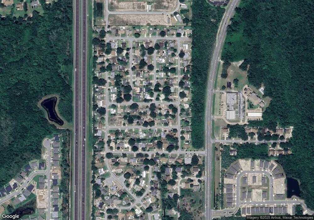
Map
Nearby Homes
- 1954 Crossbill Dr
- 3479 Joe Murell Dr
- 2391 Fox Hollow Dr
- 3431 Joe Murell Dr
- 3435 Skimmer Ln
- 3461 Pelican Cir
- 3612 Thal Rd
- 1608 Crane Dr
- 3469 Swan Lake Dr
- 3456 Swan Lake Dr
- 2190 Arctic Cir
- 3464 Dove Ct
- 3503 Blue Heron Cir
- 3513 Ibis St
- 3533 Swan Lake Dr
- 3538 Swan Lake Dr
- 0123 Spangler Ln
- 0 Unknown St Unit 981330
- 0 Unknown St Unit 1061109
- 4094 Fox Lake Rd
- 3427 Hursey Dr
- 3411 Hursey Dr
- 3416 Constance St
- 3432 Constance St
- 2041 Meyers Dr
- 3403 Hursey Dr
- 2048 Meyers Dr
- 3440 Constance St
- 3408 Constance St
- 2050 Doyle Dr
- 3443 Hursey Dr
- 2033 Meyers Dr
- 2043 Russell Dr
- 2040 Meyers Dr
- 3448 Constance St
- 3417 Constance St
- 3409 Constance St
- 3425 Constance St
- 2042 Doyle Dr
- 2035 Russell Dr