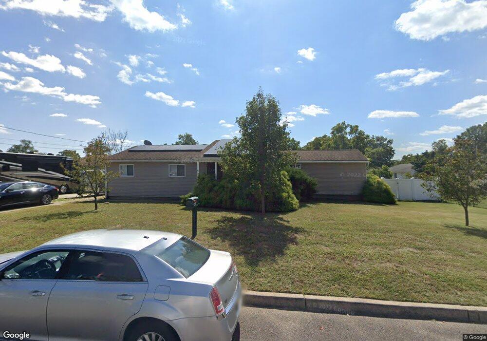
342 7th Ave Lindenwold, NJ 08021
Estimated Value: $307,000 - $322,000
Studio
--
Bath
1,704
Sq Ft
$184/Sq Ft
Est. Value
About This Home
This home is located at 342 7th Ave, Lindenwold, NJ 08021 and is currently estimated at $313,421, approximately $183 per square foot. 342 7th Ave is a home located in Camden County with nearby schools including Lindenwold High School, South Jersey Sudbury School, and Trinity Preparatory School Inc..
Ownership History
Date
Name
Owned For
Owner Type
Purchase Details
Closed on
Feb 27, 2007
Sold by
Grasso Wayne D and Roberts Jacqueline
Bought by
Grasso Wayne D and Grasso Jacqueline
Current Estimated Value
Home Financials for this Owner
Home Financials are based on the most recent Mortgage that was taken out on this home.
Original Mortgage
$225,000
Interest Rate
6.4%
Mortgage Type
New Conventional
Purchase Details
Closed on
Nov 19, 2004
Sold by
Tomastik Paul
Bought by
Grasso Wayne D and Roberts Jacqueline
Home Financials for this Owner
Home Financials are based on the most recent Mortgage that was taken out on this home.
Original Mortgage
$141,500
Interest Rate
5.69%
Mortgage Type
FHA
Create a Home Valuation Report for This Property
The Home Valuation Report is an in-depth analysis detailing your home's value as well as a comparison with similar homes in the area
Home Values in the Area
Average Home Value in this Area
Purchase History
| Date | Buyer | Sale Price | Title Company |
|---|---|---|---|
| Grasso Wayne D | -- | -- | |
| Grasso Wayne D | $154,900 | -- |
Source: Public Records
Mortgage History
| Date | Status | Borrower | Loan Amount |
|---|---|---|---|
| Previous Owner | Grasso Wayne D | $225,000 | |
| Previous Owner | Grasso Wayne D | $141,500 |
Source: Public Records
Tax History
| Year | Tax Paid | Tax Assessment Tax Assessment Total Assessment is a certain percentage of the fair market value that is determined by local assessors to be the total taxable value of land and additions on the property. | Land | Improvement |
|---|---|---|---|---|
| 2025 | $8,312 | $167,200 | $42,500 | $124,700 |
| 2024 | $8,313 | $167,200 | $42,500 | $124,700 |
| 2023 | $8,313 | $167,200 | $42,500 | $124,700 |
| 2022 | $8,305 | $167,200 | $42,500 | $124,700 |
| 2021 | $8,534 | $167,200 | $42,500 | $124,700 |
| 2020 | $8,484 | $167,200 | $42,500 | $124,700 |
| 2019 | $8,559 | $167,200 | $42,500 | $124,700 |
| 2018 | $8,343 | $167,200 | $42,500 | $124,700 |
| 2017 | $8,093 | $167,200 | $42,500 | $124,700 |
| 2016 | $7,912 | $167,200 | $42,500 | $124,700 |
| 2015 | $7,578 | $167,200 | $42,500 | $124,700 |
| 2014 | $7,248 | $167,200 | $42,500 | $124,700 |
Source: Public Records
Map
Nearby Homes
- 409 10th Ave
- 334 Chews Landing Rd
- 459 6th Ave
- 5 Glenn Alpine
- 330 1st Ave
- 524 8th Ave
- 700 Central Ave
- 609 8th Ave
- 29 Chiswick Dr
- 37 Chiswick Dr
- 195 Chews Landing Rd
- 49 Dover Dr
- 189 Crossing Way
- 30 Chiswick Dr
- 113 1st Ave
- 18 Chiswick Dr Unit CU01
- 33 Georgetown Rd
- 2004 Greenwood Dr
- 117 Lake Blvd
- 2005 Greenwood Dr
Your Personal Tour Guide
Ask me questions while you tour the home.