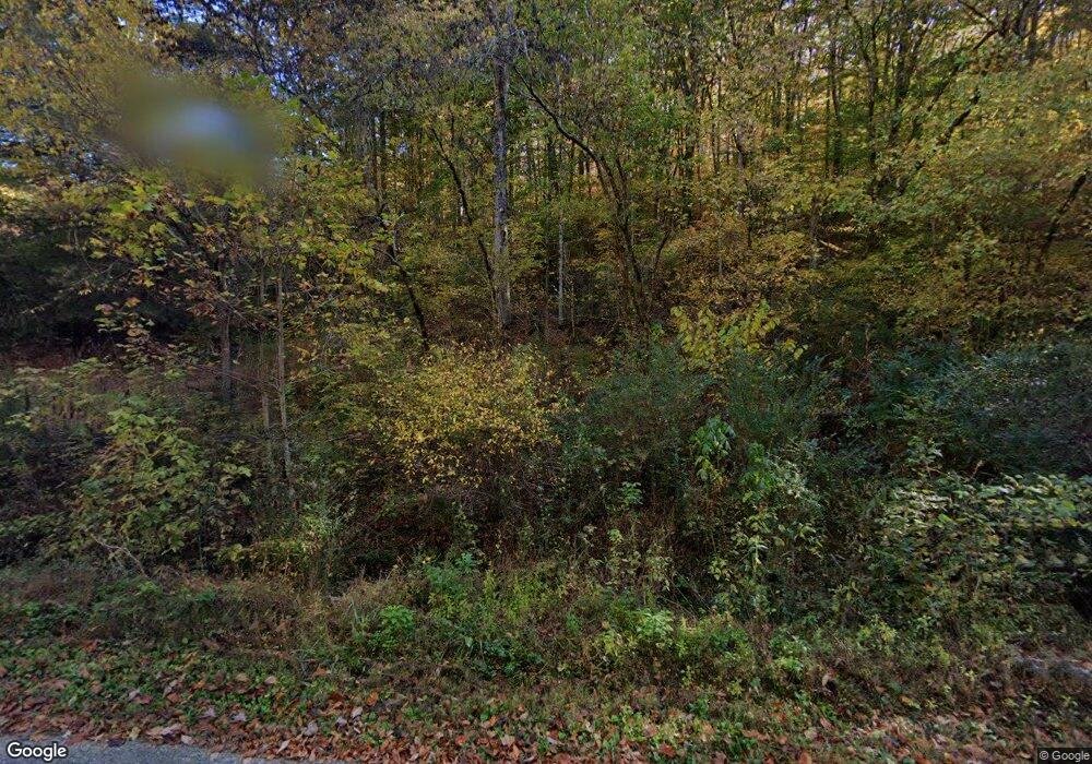
342 Lay Hollow Rd Sharps Chapel, TN 37866
Sharps Chapel NeighborhoodEstimated Value: $303,684 - $329,000
--
Bed
2
Baths
1,120
Sq Ft
$287/Sq Ft
Est. Value
About This Home
This home is located at 342 Lay Hollow Rd, Sharps Chapel, TN 37866 and is currently estimated at $320,921, approximately $286 per square foot. 342 Lay Hollow Rd is a home located in Union County with nearby schools including Sharps Chapel Elementary School, H Maynard Middle School, and Union County High School.
Ownership History
Date
Name
Owned For
Owner Type
Purchase Details
Closed on
Jul 7, 2025
Sold by
Sharp Sherry
Bought by
Wollard Christopher and Wollard Miranda L
Current Estimated Value
Home Financials for this Owner
Home Financials are based on the most recent Mortgage that was taken out on this home.
Original Mortgage
$286,171
Outstanding Balance
$285,690
Interest Rate
6.89%
Mortgage Type
Credit Line Revolving
Estimated Equity
$35,231
Purchase Details
Closed on
Jun 3, 2009
Sold by
Owens Sherry Sharp
Bought by
Taylor Eula F
Purchase Details
Closed on
Sep 28, 2008
Sold by
Sharp Marcella
Bought by
Sharp Sherry
Purchase Details
Closed on
Sep 22, 1986
Bought by
Sharp Marcella
Create a Home Valuation Report for This Property
The Home Valuation Report is an in-depth analysis detailing your home's value as well as a comparison with similar homes in the area
Home Values in the Area
Average Home Value in this Area
Purchase History
| Date | Buyer | Sale Price | Title Company |
|---|---|---|---|
| Wollard Christopher | $312,500 | Paramount Land Title | |
| Wollard Christopher | $312,500 | Paramount Land Title | |
| Taylor Eula F | $6,000 | -- | |
| Taylor Eula F | $6,000 | -- | |
| Sharp Sherry | -- | -- | |
| Sharp Sherry | -- | -- | |
| Sharp Marcella | -- | -- | |
| Sharp Marcella | -- | -- |
Source: Public Records
Mortgage History
| Date | Status | Borrower | Loan Amount |
|---|---|---|---|
| Open | Wollard Christopher | $286,171 | |
| Closed | Wollard Christopher | $286,171 |
Source: Public Records
Tax History Compared to Growth
Tax History
| Year | Tax Paid | Tax Assessment Tax Assessment Total Assessment is a certain percentage of the fair market value that is determined by local assessors to be the total taxable value of land and additions on the property. | Land | Improvement |
|---|---|---|---|---|
| 2024 | $606 | $47,700 | $10,875 | $36,825 |
| 2023 | $606 | $47,700 | $10,875 | $36,825 |
| 2022 | $574 | $36,125 | $4,050 | $32,075 |
| 2021 | $550 | $25,725 | $3,175 | $22,550 |
| 2020 | $548 | $25,600 | $3,175 | $22,425 |
| 2019 | $548 | $25,600 | $3,175 | $22,425 |
| 2018 | $548 | $25,600 | $3,175 | $22,425 |
| 2017 | $548 | $25,600 | $3,175 | $22,425 |
| 2016 | $544 | $25,075 | $3,225 | $21,850 |
| 2015 | $540 | $25,075 | $3,225 | $21,850 |
| 2014 | $446 | $24,894 | $0 | $0 |
Source: Public Records
Map
Nearby Homes
- 1217 Sharps Chapel Rd
- 150 Lakeview Cir
- 129 Sourwood Ln
- 0 Shoreline Vista Unit RTC2906598
- 0 Shoreline Vista Unit 1294108
- 142 McNerling Ln
- Tract 1 Off Sharps Chapel Rd
- 0 Waterfront Knoll Unit 1301634
- 0 Waterfront Knoll Unit 1313241
- 0 Waterfront Knoll Unit 1311899
- 0 Waterfront Knoll Unit 1304154
- 127 Waterfront Knoll
- 0 Mountain Way Unit 1286227
- 0 Mountain Way Unit 1260365
- 183 Shelby Loop
- 0 Waterfront Knl Lot #5 Unit 1269332
- Water Waterfront
- lot A-B 11 Mountain Way
- 0 S Cove Rd Unit 1293679
- 755 Tanglewood Rd
- 308 Lay Hollow Rd
- 265 Lambdin Ridge Rd
- 337 Lay Hollow Rd
- 168 Lay Hollow Rd
- 112 Grizzell Ridge Rd
- 0 Lambdin Ridge Rd
- 308 Lambdin Ridge Rd
- 205 Lambdin Ridge Rd
- 184 Grizzell Ridge Rd
- 123 Grizzell Ridge Rd
- 138 Lambdin Ridge Rd
- 180 Grizzell Ridge Rd
- 107 Lay Hollow Rd
- 0 Grizzell Ridge Rd
- 164 Brewer Hollow Rd
- 133 Grizzell Ridge Rd
- 406 Lay Hollow Rd
- 336 Lambdin Ridge Rd
- 121 Brewer Hollow Rd
- 414 Lay Hollow Rd
