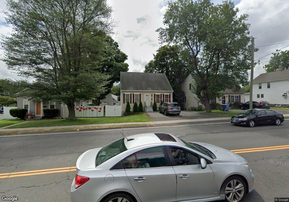
342 Pine St Bristol, CT 06010
Forestville NeighborhoodEstimated Value: $327,000 - $353,000
3
Beds
2
Baths
1,485
Sq Ft
$229/Sq Ft
Est. Value
About This Home
This home is located at 342 Pine St, Bristol, CT 06010 and is currently estimated at $339,330, approximately $228 per square foot. 342 Pine St is a home located in Hartford County with nearby schools including Bristol Central High School, St Matthew School, and St. Joseph School.
Ownership History
Date
Name
Owned For
Owner Type
Purchase Details
Closed on
Nov 21, 2011
Sold by
Washburn Maria
Bought by
Mcdade James P and Garcia-Amezcua Julia D
Current Estimated Value
Home Financials for this Owner
Home Financials are based on the most recent Mortgage that was taken out on this home.
Original Mortgage
$194,560
Outstanding Balance
$132,029
Interest Rate
3.92%
Mortgage Type
Purchase Money Mortgage
Estimated Equity
$207,301
Purchase Details
Closed on
Feb 27, 2003
Sold by
Vigue Richard J
Bought by
Palmer Charles B
Create a Home Valuation Report for This Property
The Home Valuation Report is an in-depth analysis detailing your home's value as well as a comparison with similar homes in the area
Home Values in the Area
Average Home Value in this Area
Purchase History
| Date | Buyer | Sale Price | Title Company |
|---|---|---|---|
| Mcdade James P | $190,000 | -- | |
| Palmer Charles B | $20,000 | -- |
Source: Public Records
Mortgage History
| Date | Status | Borrower | Loan Amount |
|---|---|---|---|
| Open | Palmer Charles B | $194,560 | |
| Previous Owner | Palmer Charles B | $32,016 |
Source: Public Records
Tax History
| Year | Tax Paid | Tax Assessment Tax Assessment Total Assessment is a certain percentage of the fair market value that is determined by local assessors to be the total taxable value of land and additions on the property. | Land | Improvement |
|---|---|---|---|---|
| 2025 | $6,133 | $181,710 | $28,060 | $153,650 |
| 2024 | $5,787 | $181,710 | $28,060 | $153,650 |
| 2023 | $5,515 | $181,710 | $28,060 | $153,650 |
| 2022 | $5,136 | $133,920 | $19,380 | $114,540 |
| 2021 | $5,136 | $133,920 | $19,380 | $114,540 |
| 2020 | $5,136 | $133,920 | $19,380 | $114,540 |
| 2019 | $5,096 | $133,920 | $19,400 | $114,520 |
| 2018 | $4,939 | $133,920 | $19,400 | $114,520 |
| 2017 | $4,732 | $131,330 | $26,400 | $104,930 |
| 2016 | $4,732 | $131,330 | $26,400 | $104,930 |
| 2015 | $4,545 | $131,330 | $26,400 | $104,930 |
| 2014 | $4,545 | $131,330 | $26,400 | $104,930 |
Source: Public Records
Map
Nearby Homes
- 196 Frederick St
- 524 Broad St
- 122 Bayberry Dr
- 370 Emmett St Unit 5-5
- 370 Emmett St Unit 5-2
- 370 Emmett St Unit 4-3
- 370 Emmett St Unit 4-2
- 370 Emmett St Unit 3-2
- 370 Emmett St Unit 5-3
- 370 Emmett St Unit 3-4
- 370 Emmett St Unit 4-1
- 370 Emmett St Unit 5-1
- 370 Emmett St Unit 5-4
- 370 Emmett St Unit 3-3
- 64 4th St
- 33 Kenney St
- 155 Redstone Hill Rd Unit 176
- 683 Pine St
- 19 Bingham St
- 29 Bingham St
Your Personal Tour Guide
Ask me questions while you tour the home.