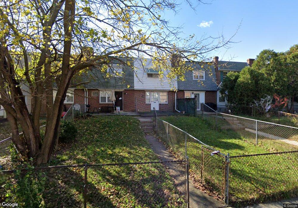
342 Springton Rd Upper Darby, PA 19082
Estimated Value: $132,000 - $170,000
2
Beds
2
Baths
768
Sq Ft
$192/Sq Ft
Est. Value
About This Home
This home is located at 342 Springton Rd, Upper Darby, PA 19082 and is currently estimated at $147,650, approximately $192 per square foot. 342 Springton Rd is a home located in Delaware County with nearby schools including Bywood Elementary School, Upper Darby Kdg Center, and Upper Darby High School.
Ownership History
Date
Name
Owned For
Owner Type
Purchase Details
Closed on
Oct 10, 2007
Sold by
Carminati Robert and Carminati Lillian
Bought by
Mousoupetros Anthony and Mousoupetros Michelle
Current Estimated Value
Home Financials for this Owner
Home Financials are based on the most recent Mortgage that was taken out on this home.
Original Mortgage
$66,400
Outstanding Balance
$42,102
Interest Rate
6.51%
Mortgage Type
Purchase Money Mortgage
Estimated Equity
$105,548
Create a Home Valuation Report for This Property
The Home Valuation Report is an in-depth analysis detailing your home's value as well as a comparison with similar homes in the area
Home Values in the Area
Average Home Value in this Area
Purchase History
| Date | Buyer | Sale Price | Title Company |
|---|---|---|---|
| Mousoupetros Anthony | $83,000 | None Available |
Source: Public Records
Mortgage History
| Date | Status | Borrower | Loan Amount |
|---|---|---|---|
| Open | Mousoupetros Anthony | $66,400 |
Source: Public Records
Tax History Compared to Growth
Tax History
| Year | Tax Paid | Tax Assessment Tax Assessment Total Assessment is a certain percentage of the fair market value that is determined by local assessors to be the total taxable value of land and additions on the property. | Land | Improvement |
|---|---|---|---|---|
| 2025 | $2,983 | $70,530 | $22,200 | $48,330 |
| 2024 | $2,983 | $70,530 | $22,200 | $48,330 |
| 2023 | $2,955 | $70,530 | $22,200 | $48,330 |
| 2022 | $2,875 | $70,530 | $22,200 | $48,330 |
| 2021 | $3,877 | $70,530 | $22,200 | $48,330 |
| 2020 | $2,679 | $41,410 | $17,270 | $24,140 |
| 2019 | $2,632 | $41,410 | $17,270 | $24,140 |
| 2018 | $2,601 | $41,410 | $0 | $0 |
| 2017 | $2,534 | $41,410 | $0 | $0 |
| 2016 | $227 | $41,410 | $0 | $0 |
| 2015 | $227 | $41,410 | $0 | $0 |
| 2014 | $227 | $41,410 | $0 | $0 |
Source: Public Records
Map
Nearby Homes
- 367 Margate Rd
- 362 Margate Rd
- 318 Margate Rd
- 312 Bayard Rd
- 7011 Hazel Ave
- 244 Wembly Rd
- 1434 Bywood Ave
- 212 Huntley Rd
- 127 Sherbrook Blvd
- 339 Huntley Rd
- 7269 Walnut St
- 512 Fairfield Ave
- 253 Shirley Rd
- 142 Springton Rd
- 163 Springton Rd
- 234 Long Ln
- 228 Long Ln
- 7210 Spruce St
- 7265 Calvin Rd
- 232 Long Ln
- 344 Springton Rd
- 340 Springton Rd
- 346 Springton Rd
- 338 Springton Rd
- 336 Springton Rd
- 348 Springton Rd
- 334 Springton Rd
- 350 Springton Rd
- 332 Springton Rd
- 352 Springton Rd
- 343 Margate Rd
- 347 Margate Rd
- 345 Margate Rd
- 349 Margate Rd
- 341 Margate Rd
- 330 Springton Rd
- 351 Margate Rd
- 339 Margate Rd
- 354 Springton Rd
- 353 Margate Rd