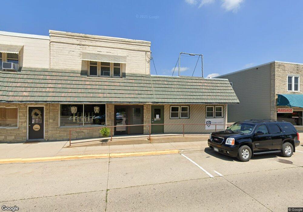
342 W Bridge St Owatonna, MN 55060
Estimated Value: $160,523
Studio
--
Bath
1,012
Sq Ft
$159/Sq Ft
Est. Value
About This Home
This home is located at 342 W Bridge St, Owatonna, MN 55060 and is currently estimated at $160,523, approximately $158 per square foot. 342 W Bridge St is a home located in Steele County with nearby schools including Wilson Elementary School, Owatonna Middle School, and Owatonna Senior High School.
Ownership History
Date
Name
Owned For
Owner Type
Purchase Details
Closed on
Nov 30, 2023
Sold by
Steele County Farm Bureau Association
Bought by
Flemke Properties Llc
Current Estimated Value
Home Financials for this Owner
Home Financials are based on the most recent Mortgage that was taken out on this home.
Original Mortgage
$118,000
Outstanding Balance
$116,090
Interest Rate
7.63%
Mortgage Type
New Conventional
Estimated Equity
$44,433
Create a Home Valuation Report for This Property
The Home Valuation Report is an in-depth analysis detailing your home's value as well as a comparison with similar homes in the area
Home Values in the Area
Average Home Value in this Area
Purchase History
| Date | Buyer | Sale Price | Title Company |
|---|---|---|---|
| Flemke Properties Llc | $147,500 | -- |
Source: Public Records
Mortgage History
| Date | Status | Borrower | Loan Amount |
|---|---|---|---|
| Open | Flemke Properties Llc | $118,000 |
Source: Public Records
Tax History
| Year | Tax Paid | Tax Assessment Tax Assessment Total Assessment is a certain percentage of the fair market value that is determined by local assessors to be the total taxable value of land and additions on the property. | Land | Improvement |
|---|---|---|---|---|
| 2025 | $2,706 | $137,600 | $27,200 | $110,400 |
| 2024 | $2,040 | $127,800 | $27,200 | $100,600 |
| 2023 | $2,102 | $95,800 | $27,200 | $68,600 |
| 2022 | $2,148 | $92,800 | $27,200 | $65,600 |
| 2021 | $2,060 | $83,986 | $25,676 | $58,310 |
| 2020 | $1,906 | $79,478 | $21,952 | $57,526 |
| 2019 | $1,746 | $70,168 | $18,326 | $51,842 |
| 2018 | $1,380 | $68,600 | $18,326 | $50,274 |
| 2017 | $1,674 | $53,704 | $8,820 | $44,884 |
| 2016 | $1,678 | $51,548 | $8,820 | $42,728 |
| 2015 | -- | $0 | $0 | $0 |
| 2014 | -- | $0 | $0 | $0 |
Source: Public Records
Map
Nearby Homes
- 330 Riverside Ave
- 330 S Oak Ave
- 506 S Oak Ave
- 413 Sylvan St
- 522 S Oak Ave
- 318 Thomas Ave
- 323 Mower Place
- 134 W University St
- 430 S Elm Ave
- 670 Lynwood St
- 254 Plainview St
- 810 S Oak Ave
- 234 E School St
- 460 Selby Ave
- 1042 S Oak Ave
- xxx Anderson Place
- 216 Lincoln Ave
- 530 Cindy Ln
- 609 Harriet Ave
- 431 W Mckinley St
- 346 W Bridge St
- 338 W Bridge St
- 111 Riverside Ave
- 102 Riverside Ave
- 119 Riverside Ave
- 104 Riverside Ave
- 408 W Bridge St
- 108 Riverside Ave
- 123 Riverside Ave
- 116 Riverside Ave
- 122 Riverside Ave
- 414 W Bridge St
- 125 Riverside Ave
- 124 Riverside Ave
- 413 W Bridge St
- 127 Riverside Ave
- 128 Riverside Ave
- 131 Riverside Ave
- 136 Riverside Ave
- 411 Flowervale St
Your Personal Tour Guide
Ask me questions while you tour the home.