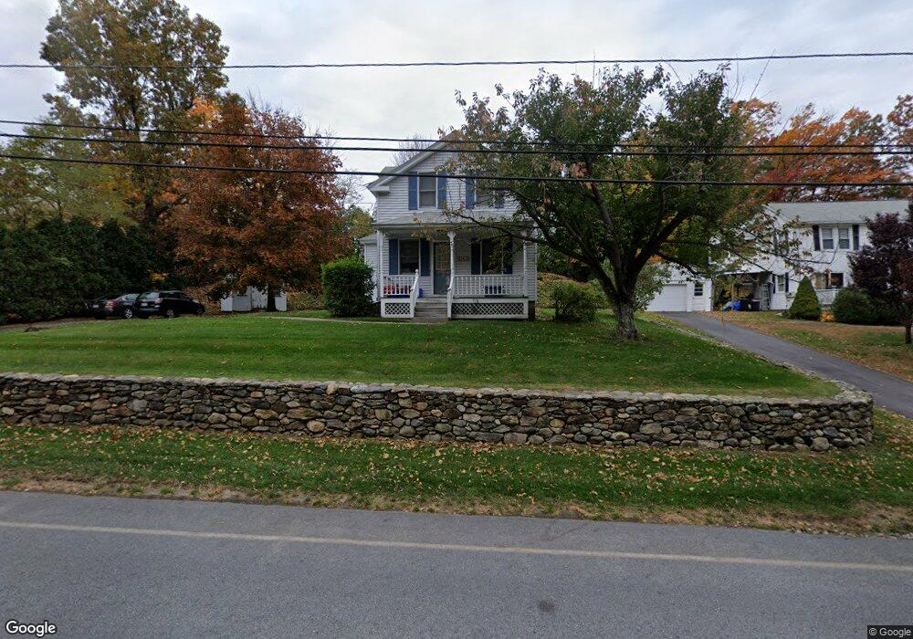
342 Worcester St West Boylston, MA 01583
Estimated Value: $387,000 - $433,000
3
Beds
1
Bath
1,067
Sq Ft
$384/Sq Ft
Est. Value
About This Home
This home is located at 342 Worcester St, West Boylston, MA 01583 and is currently estimated at $410,117, approximately $384 per square foot. 342 Worcester St is a home located in Worcester County with nearby schools including Major Edwards Elementary School, West Boylston Junior/Senior High School, and Abby Kelley Foster Charter Public School.
Ownership History
Date
Name
Owned For
Owner Type
Purchase Details
Closed on
Dec 6, 1996
Sold by
Est Raymond Thomas A and Newhouse Linda J
Bought by
Moisuk William J and Moisuk Tracy
Current Estimated Value
Home Financials for this Owner
Home Financials are based on the most recent Mortgage that was taken out on this home.
Original Mortgage
$94,000
Interest Rate
7.83%
Mortgage Type
Purchase Money Mortgage
Purchase Details
Closed on
Sep 29, 1987
Sold by
Hayes Thomas J
Bought by
Raymond Thomas A
Create a Home Valuation Report for This Property
The Home Valuation Report is an in-depth analysis detailing your home's value as well as a comparison with similar homes in the area
Home Values in the Area
Average Home Value in this Area
Purchase History
| Date | Buyer | Sale Price | Title Company |
|---|---|---|---|
| Moisuk William J | $99,000 | -- | |
| Raymond Thomas A | $49,500 | -- |
Source: Public Records
Mortgage History
| Date | Status | Borrower | Loan Amount |
|---|---|---|---|
| Open | Raymond Thomas A | $82,479 | |
| Closed | Raymond Thomas A | $94,000 | |
| Previous Owner | Raymond Thomas A | $15,000 | |
| Previous Owner | Raymond Thomas A | $10,000 |
Source: Public Records
Tax History Compared to Growth
Tax History
| Year | Tax Paid | Tax Assessment Tax Assessment Total Assessment is a certain percentage of the fair market value that is determined by local assessors to be the total taxable value of land and additions on the property. | Land | Improvement |
|---|---|---|---|---|
| 2025 | $42 | $299,200 | $94,100 | $205,100 |
| 2024 | $4,001 | $270,700 | $94,100 | $176,600 |
| 2023 | $4,361 | $279,900 | $93,500 | $186,400 |
| 2022 | $3,937 | $222,700 | $93,500 | $129,200 |
| 2021 | $3,949 | $213,900 | $89,700 | $124,200 |
| 2020 | $3,636 | $195,700 | $89,700 | $106,000 |
| 2019 | $3,506 | $186,000 | $89,700 | $96,300 |
| 2018 | $3,336 | $178,200 | $89,700 | $88,500 |
| 2017 | $3,313 | $176,200 | $89,700 | $86,500 |
| 2016 | $3,159 | $171,200 | $83,400 | $87,800 |
| 2015 | $2,931 | $159,800 | $82,600 | $77,200 |
Source: Public Records
Map
Nearby Homes
- 1 Highland Ave
- 39 Davidson Rd
- 62 Maple St
- 54 Maple St
- 12 Birchbrush Ln
- 152 Worcester St Unit 8
- 740 Burncoat St Unit B
- 33 Meola Ave
- 39 Meola Ave
- 33 Isleboro St
- 29 Isleboro St
- 1110 W Boylston St Unit A
- 156 Hillside Village Dr
- 1097 W Boylston St
- 156 Prospect St
- 44 Dixfield St
- 83 Hillside Village Dr
- 59 Santoro Rd
- 97 Hillside Village Dr
- 22 Danielles Way
- 338 Worcester St
- 27 Pierce St
- 58 Bunkerhill Pkwy
- 333 Worcester St
- 327 Worcester St
- 62 Bunkerhill Pkwy
- 52 Pierce St
- 354 Worcester St
- 54 Bunkerhill Pkwy
- 66 Bunkerhill Pkwy
- 50 Bunkerhill Pkwy
- 325 Worcester St
- 46 Bunkerhill Pkwy
- 70 Bunkerhill Pkwy
- 61 Bunkerhill Pkwy
- 323 Worcester St
- 19 Pierce St
- 19 Pierce St Unit 2
- 51 Bunkerhill Pkwy
- 67 Bunkerhill Pkwy