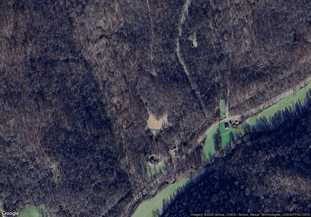
34205 Paw Paw Rd Lower Salem, OH 45745
Estimated Value: $310,000
3
Beds
2
Baths
1,230
Sq Ft
$252/Sq Ft
Est. Value
About This Home
This home is located at 34205 Paw Paw Rd, Lower Salem, OH 45745 and is currently estimated at $310,000, approximately $252 per square foot. 34205 Paw Paw Rd is a home located in Noble County with nearby schools including Skyvue Elementary School, River Elementary School, and Beallsville High School.
Create a Home Valuation Report for This Property
The Home Valuation Report is an in-depth analysis detailing your home's value as well as a comparison with similar homes in the area
Home Values in the Area
Average Home Value in this Area
Tax History Compared to Growth
Tax History
| Year | Tax Paid | Tax Assessment Tax Assessment Total Assessment is a certain percentage of the fair market value that is determined by local assessors to be the total taxable value of land and additions on the property. | Land | Improvement |
|---|---|---|---|---|
| 2024 | $1,577 | $58,160 | $5,240 | $52,920 |
| 2023 | $2,992 | $58,160 | $5,240 | $52,920 |
| 2022 | $1,453 | $50,780 | $4,630 | $46,150 |
| 2021 | $1,455 | $50,780 | $4,630 | $46,150 |
| 2020 | $1,453 | $50,780 | $4,630 | $46,150 |
| 2019 | $1,156 | $40,110 | $4,360 | $35,750 |
| 2018 | $1,177 | $50,540 | $12,690 | $37,850 |
| 2017 | $1,526 | $50,540 | $12,690 | $37,850 |
| 2016 | $2,526 | $47,260 | $12,370 | $34,890 |
| 2015 | $2,578 | $47,260 | $12,370 | $34,890 |
| 2014 | $2,621 | $47,260 | $12,370 | $34,890 |
| 2013 | $2,389 | $43,080 | $9,670 | $33,410 |
Source: Public Records
Map
Nearby Homes
- 34799 Paw Rd
- 200 Frakes Rd
- 2800 Tick Ridge Rd
- 0 Heddleson Ridge Unit 223033844
- 2115 Goss Fork Rd
- 34215 Mount Hope Ridge Rd
- 0 Township Highway 272
- 9865 State Route 821
- 65 Warner Second St
- 0 Baker Hill Rd
- 00001 Morton Hill Rd
- Lot 4 Moss Run Rd
- 15999 Ohio 26
- 15999 State Route 26
- 50 & 60 Railroad St
- 29607 Ohio 26
- 0 Highland Ridge Rd
- 29607 State Route 26
- 0 Stanleyville Rd
- 0 Highland Ridge Rd
