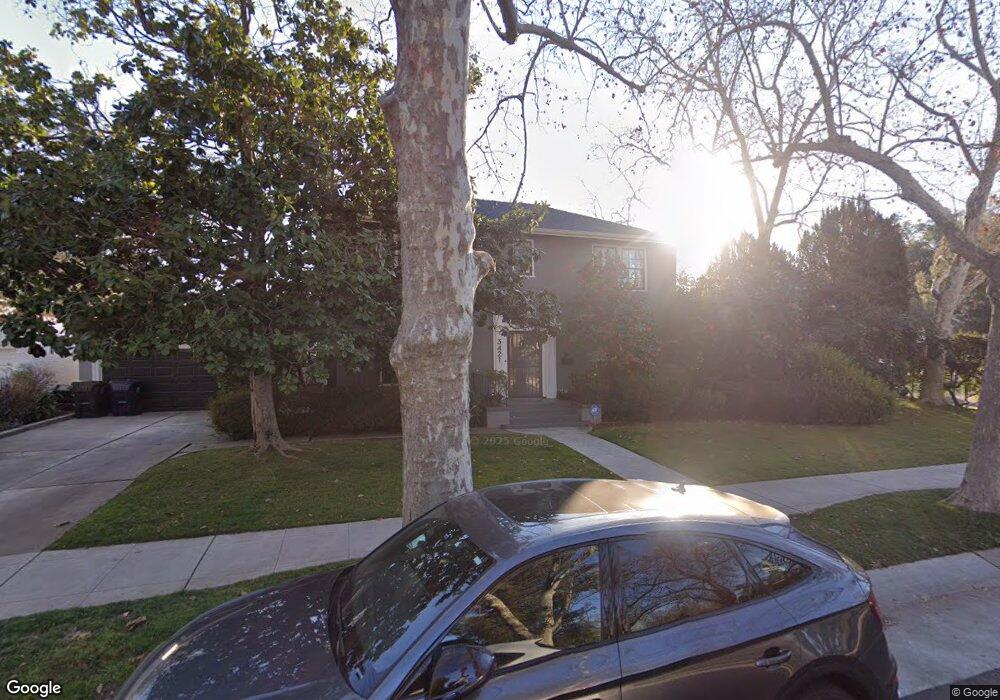
3421 E Curtis Dr Sacramento, CA 95818
Curtis Park NeighborhoodEstimated Value: $779,131 - $948,000
3
Beds
2
Baths
2,025
Sq Ft
$416/Sq Ft
Est. Value
About This Home
This home is located at 3421 E Curtis Dr, Sacramento, CA 95818 and is currently estimated at $843,283, approximately $416 per square foot. 3421 E Curtis Dr is a home located in Sacramento County with nearby schools including Bret Harte Elementary School, California Middle, and C. K. McClatchy High.
Ownership History
Date
Name
Owned For
Owner Type
Purchase Details
Closed on
Aug 24, 1996
Sold by
Stark Harry E
Bought by
Grace Scott Howard G and Grace Scott Marcia
Current Estimated Value
Home Financials for this Owner
Home Financials are based on the most recent Mortgage that was taken out on this home.
Original Mortgage
$228,000
Outstanding Balance
$18,055
Interest Rate
8.23%
Estimated Equity
$825,228
Purchase Details
Closed on
Apr 28, 1994
Sold by
Jeske Howard L and Jeske Bettyclaire
Bought by
Stark Harry E
Home Financials for this Owner
Home Financials are based on the most recent Mortgage that was taken out on this home.
Original Mortgage
$203,150
Interest Rate
4.62%
Create a Home Valuation Report for This Property
The Home Valuation Report is an in-depth analysis detailing your home's value as well as a comparison with similar homes in the area
Home Values in the Area
Average Home Value in this Area
Purchase History
| Date | Buyer | Sale Price | Title Company |
|---|---|---|---|
| Grace Scott Howard G | $285,000 | Stewart Title | |
| Stark Harry E | $260,000 | Stewart Title |
Source: Public Records
Mortgage History
| Date | Status | Borrower | Loan Amount |
|---|---|---|---|
| Open | Grace Scott Howard G | $228,000 | |
| Previous Owner | Stark Harry E | $203,150 |
Source: Public Records
Tax History
| Year | Tax Paid | Tax Assessment Tax Assessment Total Assessment is a certain percentage of the fair market value that is determined by local assessors to be the total taxable value of land and additions on the property. | Land | Improvement |
|---|---|---|---|---|
| 2025 | $5,526 | $464,151 | $113,995 | $350,156 |
| 2024 | $5,526 | $455,051 | $111,760 | $343,291 |
| 2023 | $5,396 | $446,129 | $109,569 | $336,560 |
| 2022 | $5,305 | $437,382 | $107,421 | $329,961 |
| 2021 | $5,056 | $428,807 | $105,315 | $323,492 |
| 2020 | $5,095 | $424,411 | $104,236 | $320,175 |
| 2019 | $4,987 | $416,091 | $102,193 | $313,898 |
| 2018 | $4,857 | $407,934 | $100,190 | $307,744 |
| 2017 | $4,791 | $399,936 | $98,226 | $301,710 |
| 2016 | $4,661 | $392,095 | $96,300 | $295,795 |
| 2015 | $4,593 | $386,206 | $94,854 | $291,352 |
| 2014 | $4,469 | $378,641 | $92,996 | $285,645 |
Source: Public Records
Map
Nearby Homes
- 2633 10th Ave
- 3401 E Curtis Dr
- 2649 10th Ave
- 2640 9th Ave
- 3501 E Curtis Dr
- 2648 9th Ave
- 2657 10th Ave
- 3511 E Curtis Dr
- 2656 9th Ave
- 3500 Cutter Way
- 2665 10th Ave
- 2664 9th Ave
- 3510 Cutter Way
- 3349 E Curtis Dr
- 3521 E Curtis Dr
- 2673 10th Ave
- 3348 Cutter Way
- 3520 Cutter Way
- 2672 9th Ave
- 3329 E Curtis Dr
Your Personal Tour Guide
Ask me questions while you tour the home.