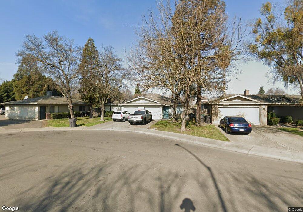
3423 Roanoke Ct Stockton, CA 95209
Colonial Heights NeighborhoodEstimated Value: $465,655 - $574,000
12
Beds
8
Baths
2,328
Sq Ft
$228/Sq Ft
Est. Value
About This Home
This home is located at 3423 Roanoke Ct, Stockton, CA 95209 and is currently estimated at $531,914, approximately $228 per square foot. 3423 Roanoke Ct is a home located in San Joaquin County with nearby schools including Wagner-Holt Elementary School, Delta Sierra Middle School, and Bear Creek High School.
Ownership History
Date
Name
Owned For
Owner Type
Purchase Details
Closed on
Dec 6, 2017
Sold by
Beck Beck L and Beck Marilyn J
Bought by
Atwater Sandra Beck and Sandra Beck Atwater 2009 Irrev
Current Estimated Value
Purchase Details
Closed on
May 20, 2009
Sold by
Beck Beck L and Beck Marilyn J
Bought by
Beck Roanoake Lp
Purchase Details
Closed on
Mar 19, 2009
Sold by
Beck Beck L and Beck Marilyn J
Bought by
Beck Property Management Llc
Create a Home Valuation Report for This Property
The Home Valuation Report is an in-depth analysis detailing your home's value as well as a comparison with similar homes in the area
Home Values in the Area
Average Home Value in this Area
Purchase History
| Date | Buyer | Sale Price | Title Company |
|---|---|---|---|
| Atwater Sandra Beck | -- | None Available | |
| Beck Roanoke Ii Lp | -- | None Available | |
| Beck Beck L | -- | None Available | |
| Beck Roanoake Lp | -- | None Available | |
| Atwater Sandra Beck | -- | None Available | |
| Beck Property Management Llc | -- | None Available |
Source: Public Records
Tax History Compared to Growth
Tax History
| Year | Tax Paid | Tax Assessment Tax Assessment Total Assessment is a certain percentage of the fair market value that is determined by local assessors to be the total taxable value of land and additions on the property. | Land | Improvement |
|---|---|---|---|---|
| 2025 | $2,585 | $220,970 | $61,871 | $159,099 |
| 2024 | $2,537 | $216,638 | $60,658 | $155,980 |
| 2023 | $2,507 | $212,391 | $59,469 | $152,922 |
| 2022 | $2,378 | $208,227 | $58,303 | $149,924 |
| 2021 | $2,433 | $204,145 | $57,160 | $146,985 |
| 2020 | $2,375 | $202,052 | $56,574 | $145,478 |
| 2019 | $2,320 | $198,091 | $55,465 | $142,626 |
| 2018 | $2,279 | $194,208 | $54,378 | $139,830 |
| 2017 | $2,226 | $190,401 | $53,312 | $137,089 |
| 2016 | $2,097 | $186,669 | $52,267 | $134,402 |
| 2014 | $1,728 | $150,000 | $37,000 | $113,000 |
Source: Public Records
Map
Nearby Homes
- 3319 Providence Way
- 3803 W Creek Dr
- 8667 Mariners Dr Unit 53
- 8501 Yarmouth Dr
- 8463 Yarmouth Dr
- 8525 Mason Dr
- 8356 Yarmouth Dr
- 3025 Monticello Dr
- 3014 Monticello Dr
- 3082 Wagner Heights Rd
- 3505 Bixby Way
- 8116 Montgomery Ave
- 8360 Norfolk Way
- 9329 White Water Ln
- 9431 Stanfield Ct
- 9027 Casterbridge Dr
- 2872 Chauncy Cir Unit 6
- 9311 Twin Brooks Ln
- 7348 Lighthouse Dr
- 3256 Lakeshore Ct
- 3413 Roanoke Ct
- 3429 Roanoke Ct
- 3422 Charleston Ct
- 3414 Charleston Ct
- 3405 Roanoke Ct
- 3430 Charleston Ct
- 3436 Roanoke Ct
- 3412 & 3414 Roanoke Ct
- 3406 Charleston Ct
- 3420 Roanoke Ct
- 3412 Roanoke Ct
- 3428 Roanoke Ct
- 34233425 Charleston Ct
- 3431 Charleston Ct
- 3404 Roanoke Ct
- 8630 Kelley Dr
- 8638 Kelley Dr
- 3415 Charleston Ct
- 8648 Kelley Dr
- 8622 Kelley Dr