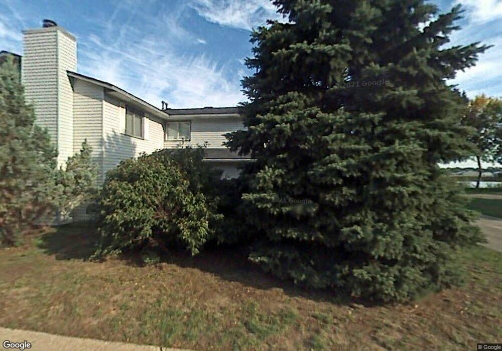
3429 Cloman Way Inver Grove Heights, MN 55076
Estimated Value: $233,614 - $245,000
3
Beds
1
Bath
1,256
Sq Ft
$190/Sq Ft
Est. Value
About This Home
This home is located at 3429 Cloman Way, Inver Grove Heights, MN 55076 and is currently estimated at $239,154, approximately $190 per square foot. 3429 Cloman Way is a home located in Dakota County with nearby schools including Hilltop Elementary School, Inver Grove Heights Middle School, and Simley Senior High School.
Ownership History
Date
Name
Owned For
Owner Type
Purchase Details
Closed on
May 5, 2006
Sold by
Hejhal Patricia M
Bought by
Aguirre Janet E
Current Estimated Value
Purchase Details
Closed on
Aug 5, 2003
Sold by
Zierhut Beverly A and Zierhut Richard E
Bought by
Hejhal Patricia M
Purchase Details
Closed on
Aug 10, 2000
Sold by
Peterson Timothy J and Peterson Stacee R
Bought by
Zierhut Richard E and Zierhut Beverly A
Create a Home Valuation Report for This Property
The Home Valuation Report is an in-depth analysis detailing your home's value as well as a comparison with similar homes in the area
Home Values in the Area
Average Home Value in this Area
Purchase History
| Date | Buyer | Sale Price | Title Company |
|---|---|---|---|
| Aguirre Janet E | $190,000 | -- | |
| Hejhal Patricia M | $160,000 | -- | |
| Zierhut Richard E | $117,000 | -- |
Source: Public Records
Tax History Compared to Growth
Tax History
| Year | Tax Paid | Tax Assessment Tax Assessment Total Assessment is a certain percentage of the fair market value that is determined by local assessors to be the total taxable value of land and additions on the property. | Land | Improvement |
|---|---|---|---|---|
| 2024 | $2,492 | $221,700 | $29,700 | $192,000 |
| 2023 | $2,492 | $220,500 | $29,900 | $190,600 |
| 2022 | $1,952 | $218,200 | $29,800 | $188,400 |
| 2021 | $1,810 | $191,700 | $25,900 | $165,800 |
| 2020 | $2,006 | $177,100 | $24,700 | $152,400 |
| 2019 | $2,087 | $169,700 | $23,500 | $146,200 |
| 2018 | $1,944 | $156,600 | $21,800 | $134,800 |
| 2017 | $1,826 | $144,400 | $20,200 | $124,200 |
| 2016 | $1,786 | $132,000 | $19,200 | $112,800 |
| 2015 | $1,790 | $99,773 | $14,525 | $85,248 |
| 2014 | -- | $97,484 | $13,250 | $84,234 |
| 2013 | -- | $86,475 | $11,809 | $74,666 |
Source: Public Records
Map
Nearby Homes
- 3481 Cloman Way E
- 3548 Cloman Way
- 3568 Cloman Way
- 6951 Clay Ave
- TBD 65th St E
- 6445 Coryell Ct
- 3902 67th St E
- 7134 Claude Ave
- 6280 Carleda Way
- 7169 Clay Ave
- 4020 64th St E
- 6050 Cahill Ave
- 7393 Clayton Ave
- 6421 Bowman Cir
- Virginia Plan at Eagles Landing
- Cottonwood II Plan at Eagles Landing
- Enclave II Plan at Eagles Landing
- Macalaster Plan at Eagles Landing
- Bismarck Plan at Eagles Landing
- Tennessee Plan at Eagles Landing
- 3431 Cloman Way
- 3415 Cloman Way
- 3417 Cloman Way
- 3449 Cloman Way
- 3447 Cloman Way
- 3378 Cloman Way
- 3380 Cloman Way
- 3380 Cloman Way
- 3358 Cloman Way
- 3399 67th St E
- 3397 67th St E
- 3397 67th St E Unit 59
- 3410 Cloman Way Unit 61
- 3408 Cloman Way
- 3408 Cloman Way Unit 62
- 6680 Catherine Ave Unit 45
- 3457 Cloman Way
- 3459 Cloman Way
- 3395 67th St E
- 6690 Catherine Ave