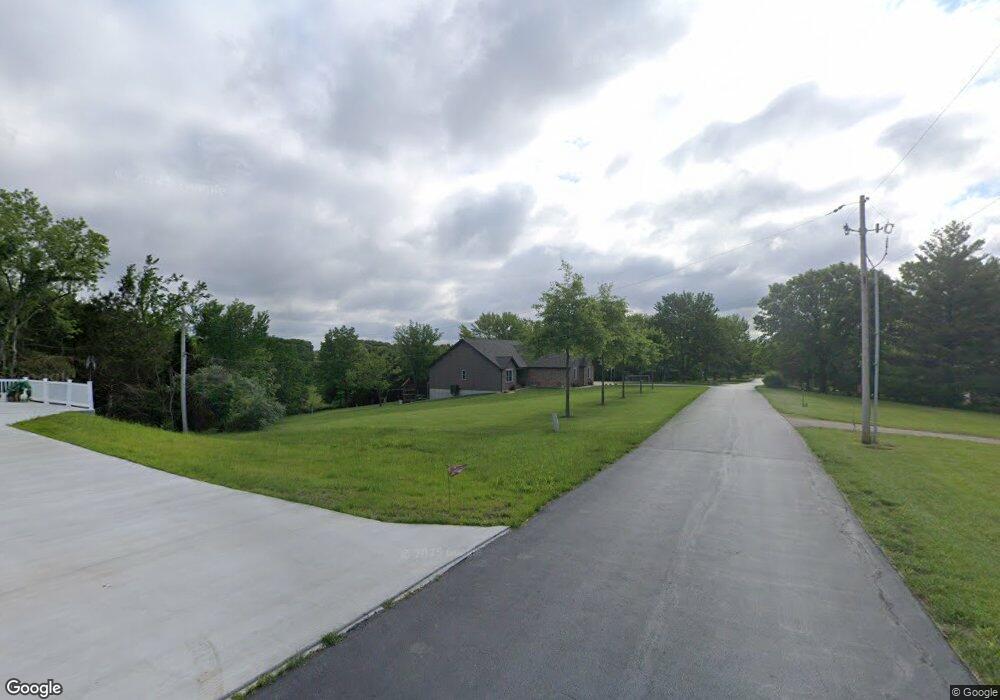
343 Borgmann Rd Washington, MO 63090
Estimated Value: $396,000 - $533,000
3
Beds
3
Baths
1,783
Sq Ft
$253/Sq Ft
Est. Value
About This Home
This home is located at 343 Borgmann Rd, Washington, MO 63090 and is currently estimated at $451,314, approximately $253 per square foot. 343 Borgmann Rd is a home with nearby schools including Washington High School, St. Gertrude Catholic School, and Immaculate Conception School.
Ownership History
Date
Name
Owned For
Owner Type
Purchase Details
Closed on
Jun 23, 2016
Sold by
Knight Kevin G and Knight Sheri L
Bought by
Roettering Aaron Lee and Roettering Amber Marie
Current Estimated Value
Home Financials for this Owner
Home Financials are based on the most recent Mortgage that was taken out on this home.
Original Mortgage
$22,750
Outstanding Balance
$14,741
Interest Rate
4.75%
Mortgage Type
New Conventional
Estimated Equity
$436,573
Purchase Details
Closed on
May 13, 2005
Sold by
Kinnison Joseph G and Kinnison Carolyn Ann
Bought by
Knight Kevin G and Knight Sheri L
Create a Home Valuation Report for This Property
The Home Valuation Report is an in-depth analysis detailing your home's value as well as a comparison with similar homes in the area
Purchase History
| Date | Buyer | Sale Price | Title Company |
|---|---|---|---|
| Roettering Aaron Lee | $45,000 | -- | |
| Knight Kevin G | -- | None Available |
Source: Public Records
Mortgage History
| Date | Status | Borrower | Loan Amount |
|---|---|---|---|
| Open | Roettering Aaron Lee | $22,750 |
Source: Public Records
Tax History
| Year | Tax Paid | Tax Assessment Tax Assessment Total Assessment is a certain percentage of the fair market value that is determined by local assessors to be the total taxable value of land and additions on the property. | Land | Improvement |
|---|---|---|---|---|
| 2025 | $3,027 | $55,828 | $0 | $0 |
| 2024 | $3,027 | $53,547 | $0 | $0 |
| 2023 | $2,966 | $53,547 | $0 | $0 |
| 2022 | $3,010 | $54,185 | $0 | $0 |
| 2021 | $3,010 | $54,185 | $0 | $0 |
| 2020 | $2,786 | $48,265 | $0 | $0 |
| 2019 | $2,776 | $48,265 | $0 | $0 |
| 2018 | $122 | $2,242 | $0 | $0 |
| 2017 | $123 | $2,242 | $0 | $0 |
| 2016 | $123 | $2,242 | $0 | $0 |
| 2015 | $123 | $2,242 | $0 | $0 |
| 2014 | $123 | $2,242 | $0 | $0 |
Source: Public Records
Map
Nearby Homes
- 541 Rock Creek Dr
- 330 Stonehenge Dr
- 143 Willow Creek Rd
- 1552 Clearview Rd
- 3732 Highway A
- 6414 Country Club Rd
- 311 Englewood Ct
- 406 Emma Ln
- 2872 Highway A
- 22+/-acres Highway A and Broadmoor
- 405 Mark Twain Loop
- 21 Forest Ln
- 7040 Highway Yy
- 430 Mark Twain Loop
- 54 Hickory Cir
- 5728 Country Club Rd
- 435 Water Tower Dr
- 1016 Westmoreland Blvd
- 18 Cobblestone Dr
- 227 Cedar Berry Dr
- 327 Borgmann Rd
- 338 Borgmann Rd
- 373 Borgmann Rd
- 435 Hecktor Ln
- 465 Hecktor Ln
- 385 Borgmann Rd
- 305 Borgmann Rd
- 384 Borgmann Rd
- 3326 Highway A
- 3320 Highway A
- 3330 Highway A
- 355 Borgmann Rd
- 3338 Highway A
- 3310 Highway A
- 3346 Highway A
- 3298 Highway A
- 3408 Highway A
- 294 Borgmann Rd
- 3428 Highway A
- 3317 Highway A
Your Personal Tour Guide
Ask me questions while you tour the home.