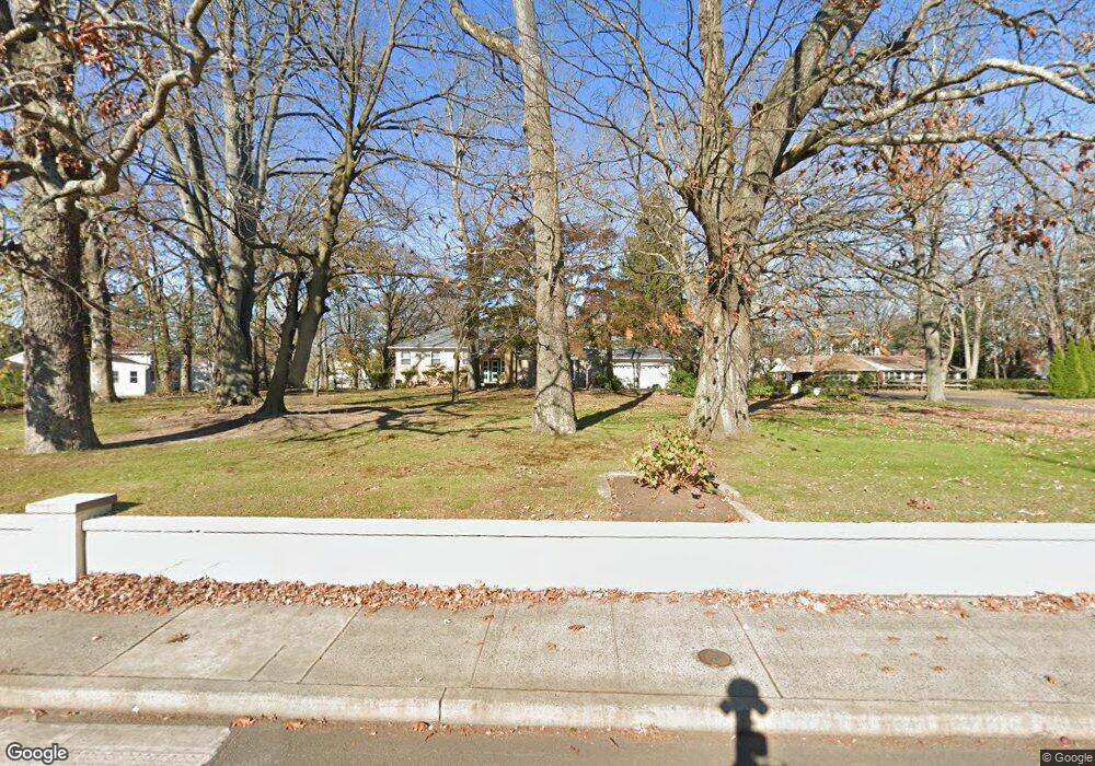
343 Cedar Ave Long Branch, NJ 07740
Estimated Value: $993,000 - $1,506,000
4
Beds
2
Baths
1,749
Sq Ft
$709/Sq Ft
Est. Value
About This Home
This home is located at 343 Cedar Ave, Long Branch, NJ 07740 and is currently estimated at $1,240,363, approximately $709 per square foot. 343 Cedar Ave is a home located in Monmouth County with nearby schools including Long Branch High School, Bet Yaakov of the Jersey Shore, and Holy Trinity School.
Ownership History
Date
Name
Owned For
Owner Type
Purchase Details
Closed on
Dec 21, 2000
Sold by
Hud
Bought by
Conceicao Pedro and Pires Ilda
Current Estimated Value
Purchase Details
Closed on
Jun 13, 1994
Sold by
G M A C Mortgage
Bought by
Reis Manuel and Reis Maria
Home Financials for this Owner
Home Financials are based on the most recent Mortgage that was taken out on this home.
Original Mortgage
$80,000
Interest Rate
8.51%
Create a Home Valuation Report for This Property
The Home Valuation Report is an in-depth analysis detailing your home's value as well as a comparison with similar homes in the area
Home Values in the Area
Average Home Value in this Area
Purchase History
| Date | Buyer | Sale Price | Title Company |
|---|---|---|---|
| Conceicao Pedro | $70,021 | -- | |
| Reis Manuel | $135,999 | -- |
Source: Public Records
Mortgage History
| Date | Status | Borrower | Loan Amount |
|---|---|---|---|
| Previous Owner | Reis Manuel | $80,000 |
Source: Public Records
Tax History Compared to Growth
Tax History
| Year | Tax Paid | Tax Assessment Tax Assessment Total Assessment is a certain percentage of the fair market value that is determined by local assessors to be the total taxable value of land and additions on the property. | Land | Improvement |
|---|---|---|---|---|
| 2025 | $14,016 | $1,159,500 | $848,300 | $311,200 |
| 2024 | $13,461 | $911,900 | $614,200 | $297,700 |
| 2023 | $13,461 | $866,800 | $582,700 | $284,100 |
| 2022 | $10,575 | $598,700 | $348,400 | $250,300 |
| 2021 | $10,575 | $528,500 | $294,400 | $234,100 |
| 2020 | $10,149 | $485,600 | $253,900 | $231,700 |
| 2019 | $8,845 | $420,800 | $199,900 | $220,900 |
| 2018 | $8,534 | $403,700 | $190,900 | $212,800 |
| 2017 | $8,108 | $393,400 | $184,600 | $208,800 |
| 2016 | $8,060 | $398,800 | $195,400 | $203,400 |
| 2015 | $7,995 | $359,000 | $161,200 | $197,800 |
| 2014 | $8,275 | $391,600 | $216,100 | $175,500 |
Source: Public Records
Map
Nearby Homes
- 525 Marvin Dr
- 497 Marvin Dr
- 497 Norwood Ave
- 367 Kirby Ave
- 8 Norwood Ct
- 316 Oakley Ave
- 673 Westwood Ave
- 329 Yorke Ave
- 448 Monmouth Place
- 266 Lenox Ave
- 19 Clarence Ave
- 211 Cedar Ave
- 595 Woodgate Ave
- 388 Brookdale Ave
- 369 Norwood Ave
- 345 Hollywood Ave
- 294 Brighton Ave
- 552 Westwood Ave
- 717 Norwood Ave
- 280 Cummings Ave
- 424 Monmouth Place
- 327 Cedar Ave
- 521 Marvin Dr
- 513 Marvin Dr
- 332 Cedar Ave
- 348 Cedar Ave Unit 4
- 348 Cedar Ave Unit 6
- 348 Cedar Ave Unit 2
- 348 Cedar Ave Unit 3
- 348 Cedar Ave Unit 5
- 348 Cedar Ave Unit 1
- 311 Cedar Ave
- 361 Cedar Ave
- 728 Westwood Ave
- 724 Westwood Ave
- 356 Cedar Ave
- 712 Westwood Ave
- 328 Cedar Ave
- 309 Cedar Ave
- 309 Cedar Ave Unit 3