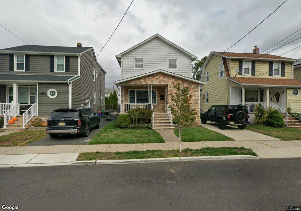
343 Maple Ave Lyndhurst, NJ 07071
Estimated Value: $716,000 - $857,000
Studio
--
Bath
2,210
Sq Ft
$344/Sq Ft
Est. Value
About This Home
This home is located at 343 Maple Ave, Lyndhurst, NJ 07071 and is currently estimated at $761,200, approximately $344 per square foot. 343 Maple Ave is a home located in Bergen County with nearby schools including Lyndhurst High School and Sacred Heart School.
Ownership History
Date
Name
Owned For
Owner Type
Purchase Details
Closed on
Apr 29, 2022
Sold by
Scardigno and Kristan
Bought by
Apito Michael Andrew
Current Estimated Value
Home Financials for this Owner
Home Financials are based on the most recent Mortgage that was taken out on this home.
Original Mortgage
$531,135
Outstanding Balance
$503,929
Interest Rate
5.11%
Mortgage Type
FHA
Estimated Equity
$257,271
Purchase Details
Closed on
Aug 23, 2007
Sold by
Scala Kupszta Diane
Bought by
Scardigno Nicolo and Scardigno Salvatore
Home Financials for this Owner
Home Financials are based on the most recent Mortgage that was taken out on this home.
Original Mortgage
$364,000
Interest Rate
6.74%
Mortgage Type
New Conventional
Create a Home Valuation Report for This Property
The Home Valuation Report is an in-depth analysis detailing your home's value as well as a comparison with similar homes in the area
Home Values in the Area
Average Home Value in this Area
Purchase History
| Date | Buyer | Sale Price | Title Company |
|---|---|---|---|
| Apito Michael Andrew | $580,000 | Guardian Title | |
| Scardigno Nicolo | $455,000 | -- |
Source: Public Records
Mortgage History
| Date | Status | Borrower | Loan Amount |
|---|---|---|---|
| Open | Apito Michael Andrew | $531,135 | |
| Previous Owner | Scardigno Nicolo | $364,000 |
Source: Public Records
Tax History
| Year | Tax Paid | Tax Assessment Tax Assessment Total Assessment is a certain percentage of the fair market value that is determined by local assessors to be the total taxable value of land and additions on the property. | Land | Improvement |
|---|---|---|---|---|
| 2025 | $12,495 | $606,300 | $308,000 | $298,300 |
| 2024 | $12,042 | $599,000 | $304,000 | $295,000 |
| 2023 | $10,376 | $592,600 | $301,000 | $291,600 |
| 2022 | $10,376 | $327,100 | $164,300 | $162,800 |
| 2021 | $9,944 | $327,100 | $164,300 | $162,800 |
| 2020 | $9,728 | $327,100 | $164,300 | $162,800 |
| 2019 | $9,656 | $327,100 | $164,300 | $162,800 |
| 2018 | $9,734 | $327,100 | $164,300 | $162,800 |
| 2017 | $9,489 | $327,100 | $164,300 | $162,800 |
| 2016 | $9,277 | $327,100 | $164,300 | $162,800 |
| 2015 | $8,985 | $327,100 | $164,300 | $162,800 |
| 2014 | $8,868 | $327,100 | $164,300 | $162,800 |
Source: Public Records
Map
Nearby Homes
- 521 Weart Ave
- 609 Chase Ave
- 715 Tyler St
- 715 Stuyvesant Ave
- 712 Meyer Ave
- 230 New St
- 433 Chase Ave
- 200 Page Ave
- 179 Page Ave
- 779 Riverside Ave Unit 104
- 825 Riverside Ave Unit 204
- 179 Fern Ave
- 133 Forest Ave
- 651 Riverside Ave Unit A7
- 105 Jauncey Ave
- 319 Ridge Rd
- 103 Lincoln Ave
- 271 Travers Place
- 14 River Rd Unit F
- 49 9th St
Your Personal Tour Guide
Ask me questions while you tour the home.