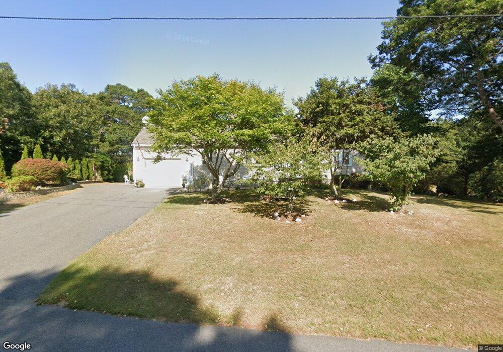
343 Mariner Cir Cotuit, MA 02635
Cotuit NeighborhoodEstimated Value: $531,197 - $646,000
3
Beds
2
Baths
1,001
Sq Ft
$593/Sq Ft
Est. Value
About This Home
This home is located at 343 Mariner Cir, Cotuit, MA 02635 and is currently estimated at $593,799, approximately $593 per square foot. 343 Mariner Cir is a home located in Barnstable County with nearby schools including West Villages Elementary School, Barnstable United Elementary School, and Barnstable Intermediate School.
Ownership History
Date
Name
Owned For
Owner Type
Purchase Details
Closed on
Apr 12, 2023
Sold by
Almeida Evaristo M and Almeida Ana M
Bought by
Almeida Irt
Current Estimated Value
Purchase Details
Closed on
Jul 2, 2003
Sold by
Rote Anne G Est
Bought by
Almedia Evaristo and Almedia Ana Maria
Home Financials for this Owner
Home Financials are based on the most recent Mortgage that was taken out on this home.
Original Mortgage
$243,050
Interest Rate
5.46%
Mortgage Type
Purchase Money Mortgage
Create a Home Valuation Report for This Property
The Home Valuation Report is an in-depth analysis detailing your home's value as well as a comparison with similar homes in the area
Home Values in the Area
Average Home Value in this Area
Purchase History
| Date | Buyer | Sale Price | Title Company |
|---|---|---|---|
| Almeida Irt | -- | None Available | |
| Almedia Evaristo | $270,100 | -- |
Source: Public Records
Mortgage History
| Date | Status | Borrower | Loan Amount |
|---|---|---|---|
| Previous Owner | Almedia Evaristo | $243,050 |
Source: Public Records
Tax History
| Year | Tax Paid | Tax Assessment Tax Assessment Total Assessment is a certain percentage of the fair market value that is determined by local assessors to be the total taxable value of land and additions on the property. | Land | Improvement |
|---|---|---|---|---|
| 2025 | $4,083 | $489,000 | $155,900 | $333,100 |
| 2024 | $3,834 | $486,600 | $155,900 | $330,700 |
| 2023 | $3,606 | $430,800 | $141,700 | $289,100 |
| 2022 | $3,709 | $358,700 | $105,000 | $253,700 |
| 2021 | $11,246 | $319,100 | $105,000 | $214,100 |
| 2020 | $3,652 | $311,900 | $105,000 | $206,900 |
| 2019 | $11,139 | $292,400 | $105,000 | $187,400 |
| 2018 | $3,225 | $271,500 | $110,500 | $161,000 |
| 2017 | $3,122 | $264,600 | $110,500 | $154,100 |
| 2016 | $3,057 | $265,600 | $111,500 | $154,100 |
| 2015 | $2,979 | $258,600 | $109,000 | $149,600 |
Source: Public Records
Map
Nearby Homes
- 1456 Santuit-Newtown Rd
- 15 Geraldine Rd
- 602 Putnam Ave
- 75 Bob White Run
- 78 Brittany Dr
- 226 Dunrobin Rd
- 1415 Old Post Rd
- 70 Cape Dr Unit 14D
- 70 Cape Dr Unit 11D
- 70 Cape Dr Unit 11D
- 165 Baxter Neck Rd
- 564 Cotuit Bay Dr
- 564 Cotuit Bay Dr
- 4 Bishops Park
- 16 Spring Brook Ln
- 135 Putnam Avenue (Land)
- 173 Main St
- 22 Stratford Ridge Unit 22
- 239 Oxford Dr
- 835 Old Post Rd
- 331 Mariner Cir
- 355 Mariner Cir
- 330 Mariners
- 354 Mariner Cir
- 330 Mariner Cir
- 319 Mariner Cir
- 371 Mariner Cir
- 204 Mooring Dr
- 316 Mariner Cir
- 203 Mooring Dr
- 305 Mariner Cir
- 382 Mariner Cir
- 375 Mariner Cir
- 288 Mariner Cir
- 192 Mooring Dr
- 191 Mooring Dr
- 383 Mariner Cir
- 400 Mariner Cir
- 301 Mariner Cir
- 274 Mariner Cir
Your Personal Tour Guide
Ask me questions while you tour the home.