Estimated Value: $129,000 - $171,000
3
Beds
2
Baths
988
Sq Ft
$144/Sq Ft
Est. Value
About This Home
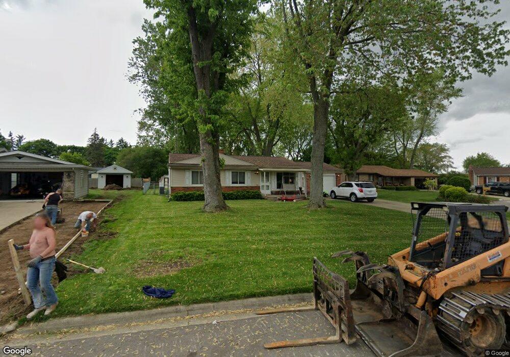
This home is located at 3430 Brookgate Dr, Flint, MI 48507 and is currently estimated at $142,724, approximately $144 per square foot. 3430 Brookgate Dr is a home located in Genesee County with nearby schools including Carman-Ainsworth High School.
Ownership History
Date
Name
Owned For
Owner Type
Purchase Details
Closed on
Jun 27, 2019
Sold by
Osborne Earnest and Osborne Karen
Bought by
Tolles Kara and Cagle Tanner
Current Estimated Value
Home Financials for this Owner
Home Financials are based on the most recent Mortgage that was taken out on this home.
Original Mortgage
$63,822
Outstanding Balance
$56,826
Interest Rate
4.75%
Mortgage Type
FHA
Estimated Equity
$85,898
Purchase Details
Closed on
Apr 26, 2010
Sold by
Mcmullen Ronald H and Mcmullen Mary Sue
Bought by
Osborne Earnest and Osborne Karen
Create a Home Valuation Report for This Property
The Home Valuation Report is an in-depth analysis detailing your home's value as well as a comparison with similar homes in the area
Home Values in the Area
Average Home Value in this Area
Purchase History
| Date | Buyer | Sale Price | Title Company |
|---|---|---|---|
| Tolles Kara | $65,000 | None Available | |
| Osborne Earnest | $60,000 | None Available |
Source: Public Records
Mortgage History
| Date | Status | Borrower | Loan Amount |
|---|---|---|---|
| Open | Tolles Kara | $63,822 |
Source: Public Records
Tax History
| Year | Tax Paid | Tax Assessment Tax Assessment Total Assessment is a certain percentage of the fair market value that is determined by local assessors to be the total taxable value of land and additions on the property. | Land | Improvement |
|---|---|---|---|---|
| 2025 | $1,380 | $65,300 | $0 | $0 |
| 2024 | $666 | $69,600 | $0 | $0 |
| 2023 | $635 | $59,600 | $0 | $0 |
| 2022 | $635 | $45,100 | $0 | $0 |
| 2021 | $1,201 | $38,800 | $0 | $0 |
| 2020 | $571 | $32,300 | $0 | $0 |
| 2019 | $1,017 | $31,100 | $0 | $0 |
| 2018 | $1,573 | $28,800 | $0 | $0 |
| 2017 | $1,517 | $28,800 | $0 | $0 |
| 2016 | $1,550 | $25,300 | $0 | $0 |
| 2015 | $1,375 | $24,400 | $0 | $0 |
| 2014 | $984 | $23,500 | $0 | $0 |
| 2012 | -- | $25,400 | $25,400 | $0 |
Source: Public Records
Map
Nearby Homes
- 1446 Stephens Ave
- 1247 Catalina Dr
- 3312 Renault Dr
- 1508 W Bristol Rd
- Lot 57 Walnut Creek Dr
- 4139 Moulton Dr
- 4502 Huckleberry Ln
- 1627 Blackberry Ln
- 1121 W Boatfield Ave
- 1119 W Bergin Ave
- 1151 Bristol Rd
- 1939 Laurel Oak Dr
- 1826 Greenbrook Ln
- 1085 W Parkwood Ave
- 1818 Rockcreek Ln
- 1489 Maria St
- 1902 Rockcreek Ln
- G4203 van Slyke Rd
- 4101 Greenbrook Ln
- 1034 W Bergin Ave
- 3440 Brookgate Dr
- 3426 Brookgate Dr
- 3491 Southgate Dr
- 3499 Southgate Dr
- 3485 Southgate Dr
- 3424 Brookgate Dr
- 3507 Southgate Dr
- 3477 Southgate Dr
- 3420 Brookgate Dr
- 3431 Brookgate Dr
- 3416 Brookgate Dr
- 3441 Brookgate Dr
- 3419 Brookgate Dr
- 3444 Brookgate Dr
- 3452 Brookgate Dr
- 3515 Southgate Dr
- 3410 Brookgate Dr
- 3467 Southgate Dr
- 3435 Southgate Dr
- 3449 Brookgate Dr
Your Personal Tour Guide
Ask me questions while you tour the home.