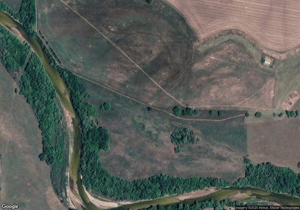
34304 Independence St Shawnee, OK 74804
Estimated Value: $189,000 - $303,664
2
Beds
2
Baths
1,288
Sq Ft
$173/Sq Ft
Est. Value
About This Home
This home is located at 34304 Independence St, Shawnee, OK 74804 and is currently estimated at $223,416, approximately $173 per square foot. 34304 Independence St is a home located in Pottawatomie County with nearby schools including Dale Elementary School, Dale Middle School, and Dale High School.
Ownership History
Date
Name
Owned For
Owner Type
Purchase Details
Closed on
Mar 30, 2016
Sold by
Marrs Rodney A and Marrs Jean Anne
Bought by
Marrs Eric R and Marrs Shanell J
Current Estimated Value
Home Financials for this Owner
Home Financials are based on the most recent Mortgage that was taken out on this home.
Original Mortgage
$75,200
Outstanding Balance
$32,864
Interest Rate
3.64%
Mortgage Type
New Conventional
Estimated Equity
$190,552
Purchase Details
Closed on
Jun 29, 2001
Sold by
Harrell Curtis and Harrell Shelly
Bought by
Marrs Rodney Jean Eric
Create a Home Valuation Report for This Property
The Home Valuation Report is an in-depth analysis detailing your home's value as well as a comparison with similar homes in the area
Home Values in the Area
Average Home Value in this Area
Purchase History
| Date | Buyer | Sale Price | Title Company |
|---|---|---|---|
| Marrs Eric R | -- | First American Title | |
| Marrs Rodney Jean Eric | $55,000 | -- |
Source: Public Records
Mortgage History
| Date | Status | Borrower | Loan Amount |
|---|---|---|---|
| Open | Marrs Eric R | $75,200 |
Source: Public Records
Tax History Compared to Growth
Tax History
| Year | Tax Paid | Tax Assessment Tax Assessment Total Assessment is a certain percentage of the fair market value that is determined by local assessors to be the total taxable value of land and additions on the property. | Land | Improvement |
|---|---|---|---|---|
| 2024 | $850 | $26,658 | $8,400 | $18,258 |
| 2023 | $850 | $8,504 | $2,202 | $6,302 |
| 2022 | $745 | $8,255 | $2,137 | $6,118 |
| 2021 | $791 | $8,255 | $2,137 | $6,118 |
| 2020 | $764 | $7,782 | $2,015 | $5,767 |
| 2019 | $767 | $7,555 | $1,956 | $5,599 |
| 2018 | $734 | $7,335 | $1,907 | $5,428 |
| 2017 | $684 | $7,122 | $1,868 | $5,254 |
| 2016 | $579 | $6,914 | $1,813 | $5,101 |
| 2015 | $545 | $6,713 | $1,241 | $5,472 |
| 2014 | $545 | $6,518 | $1,278 | $5,240 |
Source: Public Records
Map
Nearby Homes
- 112 Overland Ct
- 104 Overland Ct
- 118 Savannah Square
- 103 Valley Rim Ct
- 16 Post Office Ln
- 37207 Lake Rd
- 34501 Lake Rd
- 34853 Wildcat Way
- 35502 Pecan Grove Rd
- 14955 White Oak Ln
- 319 Starlight Dr
- 5668 Bent Creek Rd
- 5592 Bent Creek Rd
- 32504 Pecan Grove Rd
- 16244 Patterson Rd
- 0 May Addition Rd Unit 1195332
- 00 Gaddy Lot 2 Rd
- 11 Tonya Rd
- 17195 Bethel Rd
- 37003 Lake Rd
- 34210 Independence St
- 111 Lone Oak Cir
- 107 Lone Oak Cir
- 102 Kingfisher Ln
- 110 Lone Oak Cir
- 104 Lone Oak Cir
- 101 Buckthorne Cir
- 109 Savanna Square
- 101 Overland Ct
- 34103 Independence St
- 103 Overland Ct
- 108 Buckthorne Cir
- 34504 Independence St
- 105 Overland Ct
- 107 Overland Ct
- 34206 Belcher Rd
- 34505 Independence St
- 102 Overland Ct
- 115 Savanna Square
- 106 Overland Ct
