3432 Davis Bridge Rd Gainesville, GA 30506
Estimated Value: $738,000 - $943,000
4
Beds
5
Baths
5,681
Sq Ft
$146/Sq Ft
Est. Value
About This Home
This home is located at 3432 Davis Bridge Rd, Gainesville, GA 30506 and is currently estimated at $831,218, approximately $146 per square foot. 3432 Davis Bridge Rd is a home located in Hall County with nearby schools including Sardis Elementary School, Cartersville Primary School, and Chestatee Middle School.
Ownership History
Date
Name
Owned For
Owner Type
Purchase Details
Closed on
Jul 28, 1994
Sold by
Strickland William
Bought by
Jweaver Robert Sandra
Current Estimated Value
Home Financials for this Owner
Home Financials are based on the most recent Mortgage that was taken out on this home.
Original Mortgage
$416,391
Interest Rate
8.28%
Mortgage Type
Purchase Money Mortgage
Create a Home Valuation Report for This Property
The Home Valuation Report is an in-depth analysis detailing your home's value as well as a comparison with similar homes in the area
Home Values in the Area
Average Home Value in this Area
Purchase History
| Date | Buyer | Sale Price | Title Company |
|---|---|---|---|
| Jweaver Robert Sandra | $49,000 | -- |
Source: Public Records
Mortgage History
| Date | Status | Borrower | Loan Amount |
|---|---|---|---|
| Closed | Jweaver Robert Sandra | $416,391 |
Source: Public Records
Tax History Compared to Growth
Tax History
| Year | Tax Paid | Tax Assessment Tax Assessment Total Assessment is a certain percentage of the fair market value that is determined by local assessors to be the total taxable value of land and additions on the property. | Land | Improvement |
|---|---|---|---|---|
| 2024 | $2,480 | $300,640 | $88,360 | $212,280 |
| 2023 | $2,261 | $287,880 | $84,160 | $203,720 |
| 2022 | $2,209 | $246,360 | $84,160 | $162,200 |
| 2021 | $2,291 | $242,200 | $84,160 | $158,040 |
| 2020 | $2,280 | $235,520 | $84,160 | $151,360 |
| 2019 | $2,264 | $227,920 | $84,160 | $143,760 |
| 2018 | $2,169 | $212,440 | $73,840 | $138,600 |
| 2017 | $1,987 | $206,440 | $73,840 | $132,600 |
| 2016 | $1,785 | $206,440 | $73,840 | $132,600 |
| 2015 | $1,181 | $206,440 | $73,840 | $132,600 |
| 2014 | $1,181 | $241,680 | $99,800 | $141,880 |
Source: Public Records
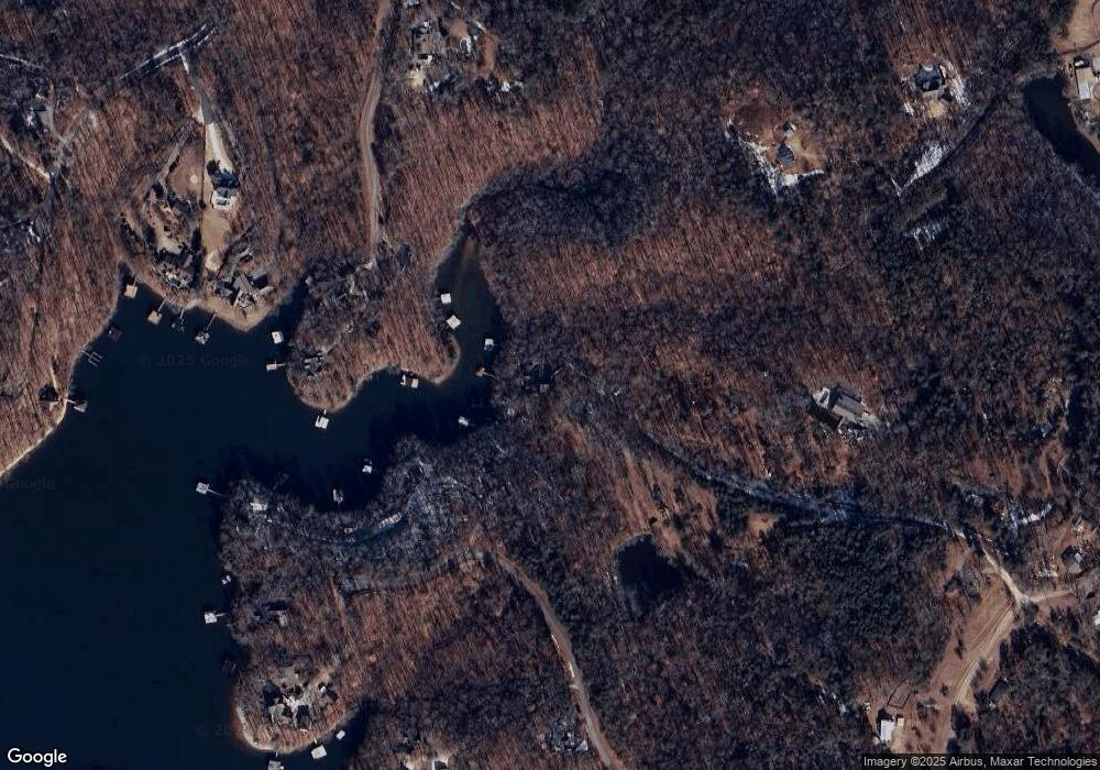
Map
Nearby Homes
- 3568 Old Duckett Mill Rd
- 3641 Bert Dr
- 3551 Monroe Cir
- 3645 Bert Dr
- 3551 Dockside Shores Dr
- 3550 Dockside Shores Dr
- 3543 Dockside Shores Dr
- 3593 Duckett Mill Rd
- 3514 Dockside Shores Dr
- 3498 Hickory Lake Dr
- 3443 Dockside Shores Dr
- 3715 Cameron Cir
- 3393 Banks Mountain Dr
- 2903 Lynncliff Dr
- 3416 Dockside Shores Dr
- 3545 Cub Cir
- 3436 Davis Bridge Rd
- 3576 Old Duckett Mill Rd
- 3446 The Old Path
- 3600 Old Duckett Mill Rd
- 3481 Mckenzie Dr
- 3473 Mckenzie Dr
- 3480 Mckenzie Dr
- 3484 Mckenzie Dr
- 3604 Old Duckett Mill Rd
- 3834 The Old Path
- 3438 The Old Path
- 3608 Old Duckett Mill Rd
- 3421 Green Apple Rd
- 3537 Martin Creek Dr
- 3477 Mckenzie Dr
- 3612 Old Duckett Mill Rd
- 0 Old Duckett Mill Rd Unit 8701524
- 0 Old Duckett Mill Rd Unit 7633674
- 0 Old Duckett Mill Rd Unit 8765561
- 0 Old Duckett Mill Rd Unit 8293344