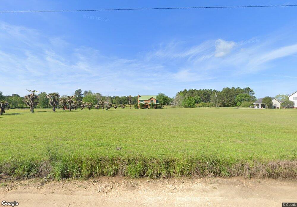
3434 Duncan Rd Quitman, GA 31643
Estimated Value: $214,000 - $290,000
4
Beds
3
Baths
1,820
Sq Ft
$143/Sq Ft
Est. Value
About This Home
This home is located at 3434 Duncan Rd, Quitman, GA 31643 and is currently estimated at $259,520, approximately $142 per square foot. 3434 Duncan Rd is a home located in Brooks County with nearby schools including Quitman Elementary School and First Baptist Church Preschool & Kindergarten.
Ownership History
Date
Name
Owned For
Owner Type
Purchase Details
Closed on
Jun 19, 2017
Bought by
Lowery Kenneth P
Current Estimated Value
Home Financials for this Owner
Home Financials are based on the most recent Mortgage that was taken out on this home.
Original Mortgage
$114,000
Outstanding Balance
$94,368
Interest Rate
4.02%
Mortgage Type
New Conventional
Estimated Equity
$165,152
Purchase Details
Closed on
Dec 12, 2016
Sold by
Mcgovern David L
Bought by
Wells Fargo Bank
Purchase Details
Closed on
Nov 18, 2016
Bought by
Sec Of Housing & Urban
Purchase Details
Closed on
Sep 3, 2002
Sold by
Carroll Wayne H
Bought by
Mcgovern David L and Mcgovern Ivy M
Purchase Details
Closed on
Jul 12, 1996
Bought by
Carroll Wayne H
Create a Home Valuation Report for This Property
The Home Valuation Report is an in-depth analysis detailing your home's value as well as a comparison with similar homes in the area
Purchase History
| Date | Buyer | Sale Price | Title Company |
|---|---|---|---|
| Lowery Kenneth P | $120,000 | -- | |
| Wells Fargo Bank | -- | -- | |
| Sec Of Housing & Urban | -- | -- | |
| Mcgovern David L | $127,500 | -- | |
| Carroll Wayne H | $12,400 | -- |
Source: Public Records
Mortgage History
| Date | Status | Borrower | Loan Amount |
|---|---|---|---|
| Open | Lowery Kenneth P | $114,000 |
Source: Public Records
Tax History
| Year | Tax Paid | Tax Assessment Tax Assessment Total Assessment is a certain percentage of the fair market value that is determined by local assessors to be the total taxable value of land and additions on the property. | Land | Improvement |
|---|---|---|---|---|
| 2025 | $2,468 | $85,300 | $12,440 | $72,860 |
| 2024 | $2,468 | $85,300 | $12,440 | $72,860 |
| 2023 | $1,864 | $79,580 | $12,120 | $67,460 |
| 2022 | $2,351 | $73,740 | $11,520 | $62,220 |
| 2021 | $1,992 | $61,860 | $12,000 | $49,860 |
| 2020 | $1,718 | $61,860 | $12,000 | $49,860 |
| 2019 | $1,746 | $54,500 | $11,520 | $42,980 |
| 2018 | $1,582 | $54,180 | $11,200 | $42,980 |
| 2017 | $1,818 | $54,380 | $14,000 | $40,380 |
| 2016 | $1,878 | $55,500 | $14,000 | $41,500 |
| 2015 | -- | $56,180 | $14,000 | $42,180 |
| 2014 | -- | $55,680 | $14,000 | $41,680 |
| 2013 | -- | $55,680 | $14,000 | $41,680 |
Source: Public Records
Map
Nearby Homes
- 237 Turkey Ridge Ln
- 1521 Mount Carmel Chuch Rx
- 714 Morris Ave
- 103 Victorian Way
- 2430 Spain Rd
- 84 W Us
- 506 Oglesby St
- 1306 E Screven St
- 1002 N Madison St
- 621 N Court St
- 606 N Court St
- 304 W Rountree St
- 417 N Court St
- Lot 14 Dawn Ln
- 0 Hamlin McKinnon Rd Unit 926343
- 602 N Webster St
- 901 W Boundary St
- 0 W Swamp St
- 248 Jamar Trail
- 270 Jamar Trail
- 3376 Duncan Rd
- 1445 Troupeville Rd
- 3130 Duncan Rd
- 3130 Duncan Rd
- 1910 Troupeville Rd
- 3126 Duncan Rd
- 1534 Troupeville Rd
- 1381 Troupeville Rd
- 1909 Troupeville Rd
- 1946 Troupeville Rd
- 1305 Troupeville Rd
- 1334 Troupeville Rd
- 1952 Troupeville Rd
- 1229 Troupeville Rd
- 1992 Troupeville Rd
- 1231 Troupeville Rd
- 2077 Troupeville Rd
- 3230 Monument Church Rd
- 3226 Monument Church Rd
- 2670 Duncan Rd