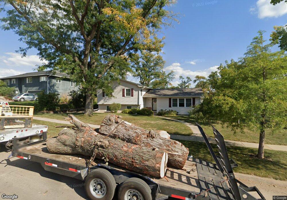
3436 Shasta Dr NE Cedar Rapids, IA 52402
Estimated Value: $219,101 - $288,000
4
Beds
3
Baths
1,356
Sq Ft
$186/Sq Ft
Est. Value
About This Home
This home is located at 3436 Shasta Dr NE, Cedar Rapids, IA 52402 and is currently estimated at $251,775, approximately $185 per square foot. 3436 Shasta Dr NE is a home located in Linn County with nearby schools including Pierce Elementary School, Franklin Middle School, and John F. Kennedy High School.
Ownership History
Date
Name
Owned For
Owner Type
Purchase Details
Closed on
Nov 4, 1998
Sold by
Frey Gordon W and Frey Sarah D
Bought by
Swanson Douglas L and Swanson Jean M
Current Estimated Value
Home Financials for this Owner
Home Financials are based on the most recent Mortgage that was taken out on this home.
Original Mortgage
$100,000
Outstanding Balance
$22,077
Interest Rate
6.72%
Estimated Equity
$229,698
Create a Home Valuation Report for This Property
The Home Valuation Report is an in-depth analysis detailing your home's value as well as a comparison with similar homes in the area
Home Values in the Area
Average Home Value in this Area
Purchase History
| Date | Buyer | Sale Price | Title Company |
|---|---|---|---|
| Swanson Douglas L | $130,500 | -- |
Source: Public Records
Mortgage History
| Date | Status | Borrower | Loan Amount |
|---|---|---|---|
| Open | Swanson Douglas L | $100,000 |
Source: Public Records
Tax History Compared to Growth
Tax History
| Year | Tax Paid | Tax Assessment Tax Assessment Total Assessment is a certain percentage of the fair market value that is determined by local assessors to be the total taxable value of land and additions on the property. | Land | Improvement |
|---|---|---|---|---|
| 2025 | $3,284 | $223,900 | $49,200 | $174,700 |
| 2024 | $3,556 | $215,100 | $49,200 | $165,900 |
| 2023 | $3,556 | $196,000 | $45,500 | $150,500 |
| 2022 | $3,416 | $177,500 | $41,900 | $135,600 |
| 2021 | $3,456 | $173,900 | $38,300 | $135,600 |
| 2020 | $3,456 | $165,200 | $29,200 | $136,000 |
| 2019 | $3,026 | $148,900 | $29,200 | $119,700 |
| 2018 | $2,938 | $148,900 | $29,200 | $119,700 |
| 2017 | $2,899 | $147,000 | $29,200 | $117,800 |
| 2016 | $2,899 | $136,400 | $29,200 | $107,200 |
| 2015 | $3,109 | $146,164 | $25,507 | $120,657 |
| 2014 | $2,924 | $146,164 | $25,507 | $120,657 |
| 2013 | $2,858 | $146,164 | $25,507 | $120,657 |
Source: Public Records
Map
Nearby Homes
- 2445 Glass Rd NE
- 3604 Heatheridge Dr NE
- 2611 Brookland Dr NE
- 3130 Adirondack Dr NE
- 2400 Brookland Dr NE
- 3100 Blue Ridge Ct NE
- 1759 Applewood Place NE
- 3858 Northwood Dr NE
- 2520 Falbrook Dr NE
- 2041 Birchwood Dr NE
- 1724 Applewood Place NE
- 1585 Matterhorn Dr NE
- 310 McKinsie Ct NE
- 1724 Pikes Peak Ct NE Unit C
- 3008 Circle Hill Ct NE
- 4216 Marilyn Dr NE
- 2962 Circle Dr NE
- 2817 Old Orchard Rd NE
- 4113 Lark Ct NE Unit 4113
- 2106 42nd St NE
- 2450 Kilimanjaro Dr NE
- 3446 Shasta Dr NE
- 2461 Kilimanjaro Dr NE
- 2442 Kilimanjaro Dr NE
- 3451 Shasta Dr NE
- 2453 Kilimanjaro Dr NE
- 3421 Shasta Dr NE
- 2432 Kilimanjaro Dr NE
- 2433 Glass Rd NE
- 3414 Shasta Dr NE
- 3441 Shasta Dr NE
- 3431 Shasta Dr NE
- 2443 Kilimanjaro Dr NE
- 3415 Shasta Dr NE
- 3501 Lochwood Dr NE
- 2422 Kilimanjaro Dr NE
- 2423 Glass Rd NE
- 3408 Shasta Dr NE
- 2433 Kilimanjaro Dr NE
- 3409 Shasta Dr NE