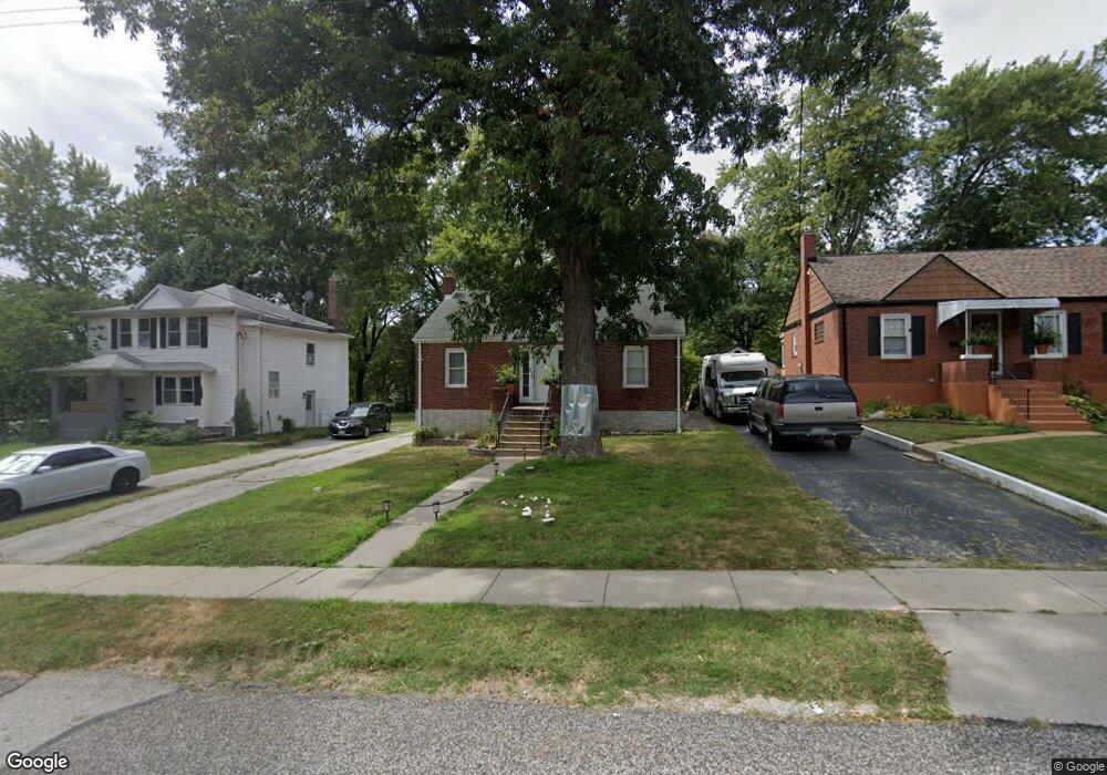
3437 Brown Rd Saint Louis, MO 63114
Estimated Value: $125,305 - $165,000
2
Beds
1
Bath
891
Sq Ft
$168/Sq Ft
Est. Value
About This Home
This home is located at 3437 Brown Rd, Saint Louis, MO 63114 and is currently estimated at $149,576, approximately $167 per square foot. 3437 Brown Rd is a home located in St. Louis County with nearby schools including Marvin Elementary School, Ritenour Middle School, and Ritenour Senior High School.
Ownership History
Date
Name
Owned For
Owner Type
Purchase Details
Closed on
Aug 13, 2019
Sold by
Baringolts Galina and Romanov Nikolay
Bought by
Romanow Nikolay
Current Estimated Value
Purchase Details
Closed on
Nov 30, 2001
Sold by
Ulett John and Ulett Carol Marie
Bought by
Baringolts Galina and Romanov Nikolay
Home Financials for this Owner
Home Financials are based on the most recent Mortgage that was taken out on this home.
Original Mortgage
$67,467
Interest Rate
7.07%
Mortgage Type
FHA
Create a Home Valuation Report for This Property
The Home Valuation Report is an in-depth analysis detailing your home's value as well as a comparison with similar homes in the area
Home Values in the Area
Average Home Value in this Area
Purchase History
| Date | Buyer | Sale Price | Title Company |
|---|---|---|---|
| Romanow Nikolay | -- | None Available | |
| Baringolts Galina | $68,000 | -- |
Source: Public Records
Mortgage History
| Date | Status | Borrower | Loan Amount |
|---|---|---|---|
| Previous Owner | Baringolts Galina | $67,467 |
Source: Public Records
Tax History
| Year | Tax Paid | Tax Assessment Tax Assessment Total Assessment is a certain percentage of the fair market value that is determined by local assessors to be the total taxable value of land and additions on the property. | Land | Improvement |
|---|---|---|---|---|
| 2025 | $1,696 | $24,720 | $6,950 | $17,770 |
| 2024 | $1,696 | $19,550 | $1,200 | $18,350 |
| 2023 | $1,662 | $19,550 | $1,200 | $18,350 |
| 2022 | $1,380 | $14,180 | $2,910 | $11,270 |
| 2021 | $1,380 | $14,180 | $2,910 | $11,270 |
| 2020 | $1,472 | $13,920 | $4,480 | $9,440 |
| 2019 | $1,455 | $13,920 | $4,480 | $9,440 |
| 2018 | $1,466 | $12,630 | $2,260 | $10,370 |
| 2016 | $1,445 | $13,130 | $3,270 | $9,860 |
Source: Public Records
Map
Nearby Homes
- 8728 Susan Ave
- 8811 North Ave
- 3630 Brown Rd
- 8647 Belcrest Ln
- 8965 Tudor Ave
- 3304 S Gordon Ct
- 9017 Tudor Ave
- 9056 Mcnulty Dr
- 8835 Kathlyn Dr
- 9047 Kathlyn Dr
- 8570 North Ave
- 8925 Argyle Ave
- 8965 Argyle Ave
- 8417 Betty Lee Ave
- 9014 Tutwiler Ave
- 9207 Bataan Dr
- 9226 Bataan Dr
- 8822 Olden Ave
- 9432 Tudor Ave
- 9225 Corregidor Ave
- 3439 Brown Rd
- 3435 Brown Rd
- 3443 Brown Rd
- 3431 Brown Rd
- 8908 Saint Louis Ave
- 8900 Saint Louis Ave
- 3429 Brown Rd
- 3444 Brown Rd
- 3440 Brown Rd
- 3442 Brown Rd
- 8920 Saint Louis Ave
- 3448 Brown Rd
- 3438 Brown Rd
- 3427 Brown Rd
- 3436 Brown Rd
- 8924 Saint Louis Ave
- 3434 Brown Rd
- 8824 Saint Louis Ave
- 3425 Brown Rd
- 3432 Brown Rd
Your Personal Tour Guide
Ask me questions while you tour the home.