344 Cantrell Ln Blaine, TN 37709
Estimated Value: $226,623 - $382,000
--
Bed
1
Bath
1,184
Sq Ft
$258/Sq Ft
Est. Value
About This Home
This home is located at 344 Cantrell Ln, Blaine, TN 37709 and is currently estimated at $305,656, approximately $258 per square foot. 344 Cantrell Ln is a home located in Grainger County with nearby schools including Joppa Elementary School, Rutledge Middle School, and Grainger High School.
Ownership History
Date
Name
Owned For
Owner Type
Purchase Details
Closed on
Jan 20, 2025
Sold by
Patterson Charlotte Ann and Patterson Hobert W
Bought by
Patterson Brian Wesley
Current Estimated Value
Purchase Details
Closed on
Dec 22, 2020
Sold by
Ramsey Charles Allen
Bought by
Patterson Brian Wesley
Purchase Details
Closed on
Oct 27, 2009
Sold by
Patterson Charlotte
Bought by
Ramsey Billy Ray
Create a Home Valuation Report for This Property
The Home Valuation Report is an in-depth analysis detailing your home's value as well as a comparison with similar homes in the area
Home Values in the Area
Average Home Value in this Area
Purchase History
| Date | Buyer | Sale Price | Title Company |
|---|---|---|---|
| Patterson Brian Wesley | -- | None Listed On Document | |
| Patterson Brian Wesley | -- | None Listed On Document | |
| Patterson Brian Wesley | -- | None Available | |
| Ramsey Billy Ray | -- | -- | |
| Ramsey Darrell | -- | -- | |
| Ramsey Charles Allen | -- | -- |
Source: Public Records
Tax History Compared to Growth
Tax History
| Year | Tax Paid | Tax Assessment Tax Assessment Total Assessment is a certain percentage of the fair market value that is determined by local assessors to be the total taxable value of land and additions on the property. | Land | Improvement |
|---|---|---|---|---|
| 2025 | $623 | $26,500 | $0 | $0 |
| 2024 | $623 | $26,500 | $5,925 | $20,575 |
| 2023 | $623 | $26,500 | $5,925 | $20,575 |
| 2022 | $609 | $26,500 | $5,925 | $20,575 |
| 2021 | $609 | $26,500 | $5,925 | $20,575 |
| 2020 | $603 | $26,500 | $5,925 | $20,575 |
| 2019 | $603 | $21,550 | $5,525 | $16,025 |
| 2018 | $522 | $21,550 | $5,525 | $16,025 |
| 2017 | $522 | $21,550 | $5,525 | $16,025 |
| 2016 | $522 | $21,550 | $5,525 | $16,025 |
| 2015 | $563 | $21,550 | $5,525 | $16,025 |
| 2014 | $563 | $22,503 | $0 | $0 |
Source: Public Records
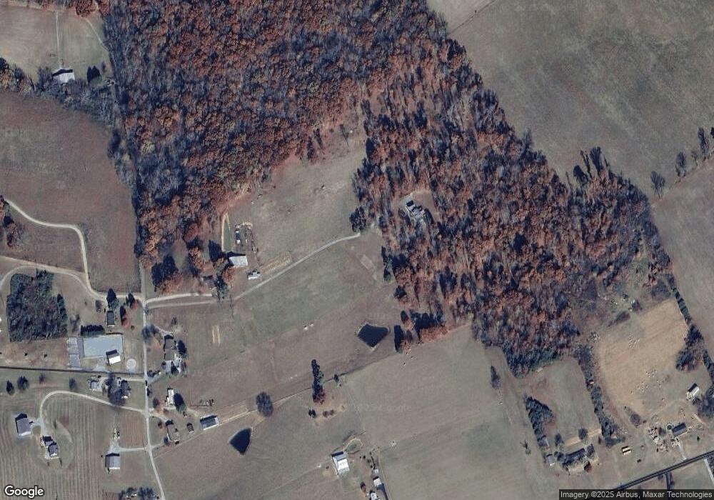
Map
Nearby Homes
- 0 Collins Rd
- 807 Collins Rd
- 2501 Stone Rd
- 0 River Stone Dr Unit 1292726
- 2005 River Mist Cir
- 2049 River Mist Cir
- 2041 River Mist Cir
- 1951 Buck Hollow Rd
- 1909 Buck Hollow Rd Unit 9
- 1909 Buck Hollow Rd
- 1743 Holston River Dr
- 2760 Holston River Dr
- 0 Holston River Dr
- 25R1 Cliff Top Rd
- 1375 Smith Hollow Rd
- 0 Holston Shores Dr Unit 1281988
- 44 Holston River Dr
- 629&609 Nance Ferry Rd
- 2102 Deerfield Cir
- 12 Holston Shores Dr
- 306 Cantrell Ln
- 250 Cantrell Ln
- 328 Cantrell Ln
- 217 Cantrell Ln
- 489 Cantrell Ln
- 347 Cantrell Ln
- 259 Cantrell Ln
- 193 Cantrell Ln
- 3829 Indian Ridge Rd
- 359 Cantrell Ln
- 559 Cantrell Ln
- 120 Cantrell Ln
- 597 Cantrell Ln
- 3979 Indian Ridge Rd
- Lot 29B Indian Ridge Rd
- 145 Collins Rd
- 3900 Indian Ridge Rd
- 3585 Indian Ridge Rd
- 3976 Indian Ridge Rd
- 4047 Indian Ridge Rd