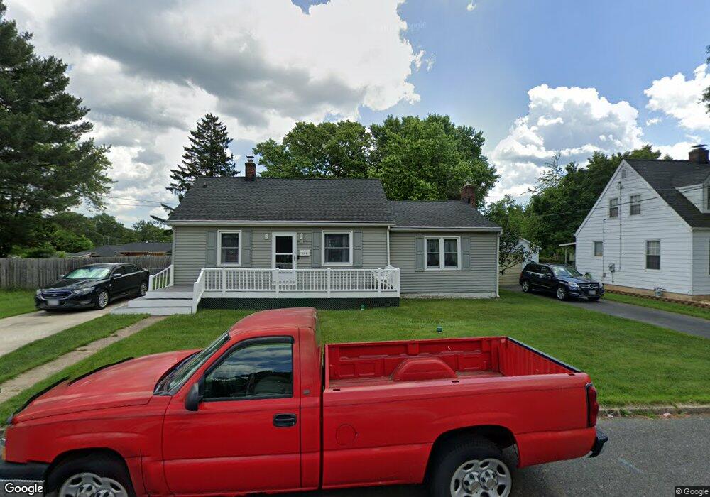
344 Carter St Aberdeen, MD 21001
Estimated Value: $278,682 - $316,000
--
Bed
2
Baths
1,320
Sq Ft
$228/Sq Ft
Est. Value
About This Home
This home is located at 344 Carter St, Aberdeen, MD 21001 and is currently estimated at $300,671, approximately $227 per square foot. 344 Carter St is a home located in Harford County with nearby schools including G. Lisby Elementary At Hillsdale, Aberdeen Middle School, and Aberdeen High School.
Ownership History
Date
Name
Owned For
Owner Type
Purchase Details
Closed on
Sep 17, 1996
Sold by
Herbert Roy Kenneth
Bought by
Knoph Paul F and Tayson Donna M
Current Estimated Value
Purchase Details
Closed on
Jan 29, 1991
Sold by
Wayne Properties
Bought by
Herbert Roy Kenneth
Home Financials for this Owner
Home Financials are based on the most recent Mortgage that was taken out on this home.
Original Mortgage
$85,850
Interest Rate
9.61%
Purchase Details
Closed on
Oct 28, 1985
Sold by
Edwards Nick
Bought by
Wayne Properties
Home Financials for this Owner
Home Financials are based on the most recent Mortgage that was taken out on this home.
Original Mortgage
$35,000
Interest Rate
12.07%
Create a Home Valuation Report for This Property
The Home Valuation Report is an in-depth analysis detailing your home's value as well as a comparison with similar homes in the area
Home Values in the Area
Average Home Value in this Area
Purchase History
| Date | Buyer | Sale Price | Title Company |
|---|---|---|---|
| Knoph Paul F | $105,000 | -- | |
| Herbert Roy Kenneth | $84,300 | -- | |
| Wayne Properties | $35,000 | -- |
Source: Public Records
Mortgage History
| Date | Status | Borrower | Loan Amount |
|---|---|---|---|
| Previous Owner | Herbert Roy Kenneth | $85,850 | |
| Previous Owner | Wayne Properties | $35,000 | |
| Closed | Knoph Paul F | -- |
Source: Public Records
Tax History Compared to Growth
Tax History
| Year | Tax Paid | Tax Assessment Tax Assessment Total Assessment is a certain percentage of the fair market value that is determined by local assessors to be the total taxable value of land and additions on the property. | Land | Improvement |
|---|---|---|---|---|
| 2025 | $1,401 | $192,200 | $0 | $0 |
| 2024 | $1,401 | $180,900 | $0 | $0 |
| 2023 | $1,331 | $169,600 | $51,100 | $118,500 |
| 2022 | $1,315 | $167,467 | $0 | $0 |
| 2021 | $1,347 | $165,333 | $0 | $0 |
| 2020 | $1,347 | $163,200 | $51,100 | $112,100 |
| 2019 | $1,283 | $155,700 | $0 | $0 |
| 2018 | $1,212 | $148,200 | $0 | $0 |
| 2017 | $1,402 | $140,700 | $0 | $0 |
| 2016 | -- | $140,700 | $0 | $0 |
| 2015 | $1,523 | $140,700 | $0 | $0 |
| 2014 | $1,523 | $147,300 | $0 | $0 |
Source: Public Records
Map
Nearby Homes
- 0 Harford St Unit MDHR2039982
- 426 Washington St
- 435 Edmund St
- 406 Ford St
- 615 Pinehurst St
- 515 S Law St
- 716 Clayton St
- 722 Bur Oak Ct Unit 77
- 647 Elm St
- 770 Custis St
- 414 S Parke St
- 304 S Parke St
- 754 Custis St
- 609 S Rogers St
- 648 S Rogers St
- 519 S Parke St
- 0 S Philadelphia Blvd
- 21 Gunnison Dr
- 631 W Bel Air Ave
- 363 Stratford Ave