344 E 7300 N Smithfield, UT 84335
Estimated Value: $422,294 - $522,000
Studio
--
Bath
1,362
Sq Ft
$349/Sq Ft
Est. Value
About This Home
This home is located at 344 E 7300 N, Smithfield, UT 84335 and is currently estimated at $475,765, approximately $349 per square foot. 344 E 7300 N is a home with nearby schools including Birch Creek School, North Cache Middle School, and White Pine Middle School.
Ownership History
Date
Name
Owned For
Owner Type
Purchase Details
Closed on
Jul 3, 2018
Sold by
Hooton Daniel J and Hooton Esther M
Bought by
Fonnesbeck John Brandon
Current Estimated Value
Home Financials for this Owner
Home Financials are based on the most recent Mortgage that was taken out on this home.
Original Mortgage
$261,955
Outstanding Balance
$230,962
Interest Rate
5.5%
Mortgage Type
FHA
Estimated Equity
$244,803
Create a Home Valuation Report for This Property
The Home Valuation Report is an in-depth analysis detailing your home's value as well as a comparison with similar homes in the area
Purchase History
| Date | Buyer | Sale Price | Title Company |
|---|---|---|---|
| Fonnesbeck John Brandon | -- | Advanced Title |
Source: Public Records
Mortgage History
| Date | Status | Borrower | Loan Amount |
|---|---|---|---|
| Open | Fonnesbeck John Brandon | $261,955 |
Source: Public Records
Tax History
| Year | Tax Paid | Tax Assessment Tax Assessment Total Assessment is a certain percentage of the fair market value that is determined by local assessors to be the total taxable value of land and additions on the property. | Land | Improvement |
|---|---|---|---|---|
| 2025 | $2,157 | $352,490 | $0 | $0 |
| 2024 | $1,386 | $209,625 | $0 | $0 |
| 2023 | $1,468 | $207,635 | $0 | $0 |
| 2022 | $1,536 | $207,635 | $0 | $0 |
| 2021 | $1,623 | $301,790 | $144,500 | $157,290 |
| 2020 | $1,384 | $235,833 | $144,500 | $91,333 |
| 2019 | $1,303 | $205,833 | $114,500 | $91,333 |
| 2018 | $1,274 | $193,920 | $114,500 | $79,420 |
| 2017 | $1,288 | $122,710 | $0 | $0 |
| 2016 | $1,304 | $122,710 | $0 | $0 |
| 2015 | $1,185 | $111,740 | $0 | $0 |
| 2014 | $985 | $95,825 | $0 | $0 |
| 2013 | -- | $95,825 | $0 | $0 |
Source: Public Records
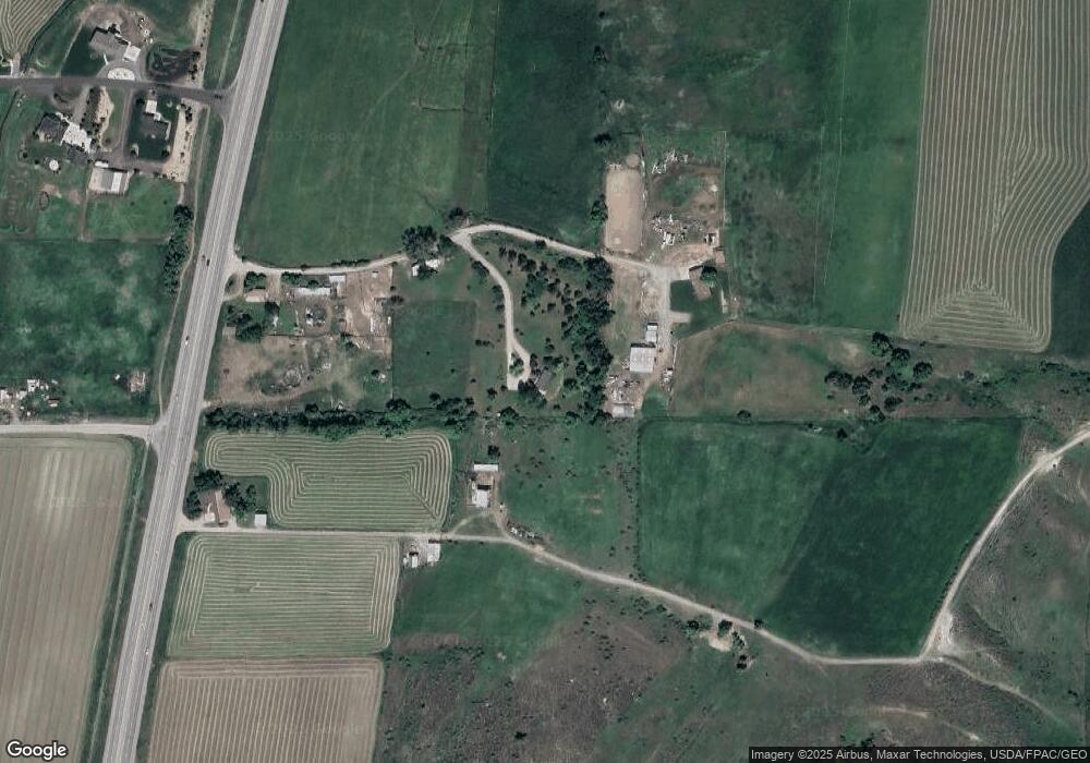
Map
Nearby Homes
- 610 E 7300 N
- 7292 N Highway 91
- 214 E 7340 N Unit 1
- 214 E 7340 N
- 7410 N Highway 91
- 174 E 7340 N Unit 2
- 174 E 7340 N
- 147 E 7200 N
- 201 E 7340 N Unit 5
- 124 E 7340 N Unit 3
- 124 E 7340 N Unit 3
- 145 E 7340 N Unit 4
- 7518 N Highway 91
- 66 E 7340 N Unit 6
- 93 E 7340 N
- 7530 N Highway 91
- 7560 N Highway 91
- 6955 N Highway 91
- 24 E 7340 N Unit 7
- 35 E 7340 N
Your Personal Tour Guide
Ask me questions while you tour the home.