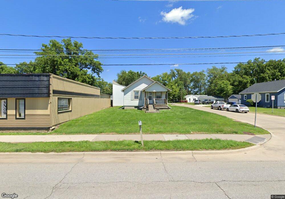
344 E Army Post Rd Des Moines, IA 50315
South Central DSM NeighborhoodEstimated Value: $137,247 - $165,000
2
Beds
1
Bath
704
Sq Ft
$207/Sq Ft
Est. Value
About This Home
This home is located at 344 E Army Post Rd, Des Moines, IA 50315 and is currently estimated at $145,812, approximately $207 per square foot. 344 E Army Post Rd is a home located in Polk County with nearby schools including Lovejoy Elementary School, Mccombs Middle School, and Lincoln High School.
Ownership History
Date
Name
Owned For
Owner Type
Purchase Details
Closed on
Nov 19, 2014
Sold by
Z Fin 18
Bought by
Epc Llc
Current Estimated Value
Purchase Details
Closed on
Oct 12, 2005
Sold by
Moulton George E and Moulton Patricia E
Bought by
Z Fin 18
Purchase Details
Closed on
Jun 28, 1999
Sold by
Randleman Realty Inc
Bought by
Moulton George E and Moulton Patricia E
Home Financials for this Owner
Home Financials are based on the most recent Mortgage that was taken out on this home.
Original Mortgage
$107,500
Interest Rate
7.28%
Create a Home Valuation Report for This Property
The Home Valuation Report is an in-depth analysis detailing your home's value as well as a comparison with similar homes in the area
Home Values in the Area
Average Home Value in this Area
Purchase History
We collect this data history from publicly available records. To have your information removed, we recommend requesting removal directly through your county’s website.
| Date | Buyer | Sale Price | Title Company |
|---|---|---|---|
| Epc Llc | $70,000 | None Available | |
| Z Fin 18 | $1,372 | -- | |
| Moulton George E | $64,500 | -- |
Source: Public Records
Mortgage History
We collect this data history from publicly available records. To have your information removed, we recommend requesting removal directly through your county’s website.
| Date | Status | Borrower | Loan Amount |
|---|---|---|---|
| Previous Owner | Moulton George E | $107,500 |
Source: Public Records
Tax History
| Year | Tax Paid | Tax Assessment Tax Assessment Total Assessment is a certain percentage of the fair market value that is determined by local assessors to be the total taxable value of land and additions on the property. | Land | Improvement |
|---|---|---|---|---|
| 2025 | $2,104 | $116,300 | $29,400 | $86,900 |
| 2024 | $2,104 | $107,000 | $29,400 | $77,600 |
| 2023 | $2,126 | $107,000 | $29,400 | $77,600 |
| 2022 | $2,110 | $90,200 | $29,400 | $60,800 |
| 2021 | $2,072 | $90,200 | $29,400 | $60,800 |
| 2020 | $2,152 | $83,000 | $29,400 | $53,600 |
| 2019 | $2,088 | $83,000 | $29,400 | $53,600 |
| 2018 | $2,068 | $77,700 | $29,400 | $48,300 |
| 2017 | $2,018 | $77,700 | $29,400 | $48,300 |
| 2016 | $1,844 | $74,600 | $29,400 | $45,200 |
| 2015 | $1,844 | $70,000 | $29,500 | $40,500 |
| 2014 | $2,484 | $81,000 | $29,500 | $51,500 |
Source: Public Records
Map
Nearby Homes
- 6022 SE 4th St
- 433 E Payton Ave
- 6208 SE 2nd St
- 6718 SE 2nd Ct
- 6219 S Union St
- 6200 S Union St
- 439 E Porter Ave
- 722 E Diehl Ave
- 721 E Porter Ave
- 817 E Diehl Ave
- 5413 SE 5th St
- 5805 SW 4th St
- 5401 SE 6th St
- 5501 S Union St
- 505 Payton Ave
- 603 Lally St
- 303 Porter Ave
- 5412 SW 3rd St
- 6006 SW 7th St
- 5205 SE 8th St
- 336 E Army Post Rd
- 400 E Army Post Rd
- 332 E Army Post Rd
- 341 E Lally St
- 337 E Lally St
- 408 E Army Post Rd
- 6303 SE 4th St
- 328 E Army Post Rd
- 333 E Lally St
- 324 E Army Post Rd
- 409 E Lally St
- 320 E Army Post Rd
- 417 E Lally St
- 344 E Lally St
- 340 E Lally St
- 332 E Lally St
- 400 E Lally St
- 400 E Lally St
- 421 E Lally St
- 328 E Lally St
Your Personal Tour Guide
Ask me questions while you tour the home.