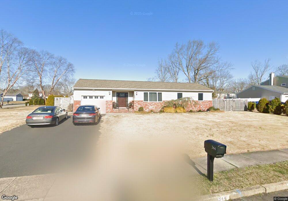
344 Gilmores Island Rd Toms River, NJ 08753
Estimated Value: $447,904 - $529,000
2
Beds
1
Bath
1,234
Sq Ft
$388/Sq Ft
Est. Value
About This Home
This home is located at 344 Gilmores Island Rd, Toms River, NJ 08753 and is currently estimated at $479,226, approximately $388 per square foot. 344 Gilmores Island Rd is a home located in Ocean County with nearby schools including St Joseph Grade School and Donovan Catholic High School.
Ownership History
Date
Name
Owned For
Owner Type
Purchase Details
Closed on
Jul 8, 2009
Sold by
Kapusta Lisa and Blasco Lisa A
Bought by
Kapusta Lisa and Blasco Lisa A
Current Estimated Value
Purchase Details
Closed on
May 10, 2000
Sold by
Burgess Leigh
Bought by
Kapusta Lisa and Blasco Lisa
Home Financials for this Owner
Home Financials are based on the most recent Mortgage that was taken out on this home.
Original Mortgage
$102,400
Outstanding Balance
$35,555
Interest Rate
8.21%
Estimated Equity
$443,671
Create a Home Valuation Report for This Property
The Home Valuation Report is an in-depth analysis detailing your home's value as well as a comparison with similar homes in the area
Home Values in the Area
Average Home Value in this Area
Purchase History
| Date | Buyer | Sale Price | Title Company |
|---|---|---|---|
| Kapusta Lisa | -- | Ocean Title Service Inc | |
| Kapusta Lisa | $128,000 | -- |
Source: Public Records
Mortgage History
| Date | Status | Borrower | Loan Amount |
|---|---|---|---|
| Open | Kapusta Lisa | $102,400 |
Source: Public Records
Tax History Compared to Growth
Tax History
| Year | Tax Paid | Tax Assessment Tax Assessment Total Assessment is a certain percentage of the fair market value that is determined by local assessors to be the total taxable value of land and additions on the property. | Land | Improvement |
|---|---|---|---|---|
| 2025 | $5,607 | $307,900 | $134,000 | $173,900 |
| 2024 | $5,080 | $307,900 | $134,000 | $173,900 |
| 2023 | $4,889 | $307,900 | $134,000 | $173,900 |
| 2022 | $5,139 | $307,900 | $134,000 | $173,900 |
| 2021 | $4,208 | $192,700 | $102,000 | $90,700 |
| 2020 | $4,806 | $192,700 | $102,000 | $90,700 |
| 2019 | $4,598 | $192,700 | $102,000 | $90,700 |
| 2018 | $4,536 | $192,700 | $102,000 | $90,700 |
| 2017 | $4,498 | $192,700 | $102,000 | $90,700 |
| 2016 | $4,130 | $192,700 | $102,000 | $90,700 |
| 2015 | $4,214 | $192,700 | $102,000 | $90,700 |
| 2014 | $4,012 | $192,700 | $102,000 | $90,700 |
Source: Public Records
Map
Nearby Homes
- 855 Derry Dr
- 1004 Sheila Dr
- 1016 Sheila Dr
- 308 Cedar Grove Rd
- 918 Briar Ave
- 308 Tradewinds Ave
- 696 Schoolhouse Ln
- 939 Alden Dr
- 1050 Sheila Dr
- 883 Astoria Dr
- 968 Goose Creek Rd
- 241 Lester Rd
- 904 Nantucket Ct
- 751 High Meadow Dr
- 944 Yellowbank Rd
- 711 Bay Ave
- 1115 Verdant Rd
- 367 Flaam St
- 977 Stafford Dr
- 830 Brookside Dr
- 834 Derry Dr
- 348 Gilmores Island Rd
- 345 Gilmores Island Rd
- 839 Derry Dr
- 347 Twin Oaks Dr
- 843 Derry Dr
- 835 Derry Dr
- 349 Gilmores Island Rd
- 830 Derry Dr
- 352 Gilmores Island Rd
- 349 Twin Oaks Dr
- 847 Derry Dr
- 337 Twin Oaks Dr
- 850 Derry Dr
- 356 Kildare Dr
- 114 Ridge Dr
- 116 Ridge Dr
- 352 Kildare Dr
- 851 Derry Dr
- 364 Gilmores Island Rd