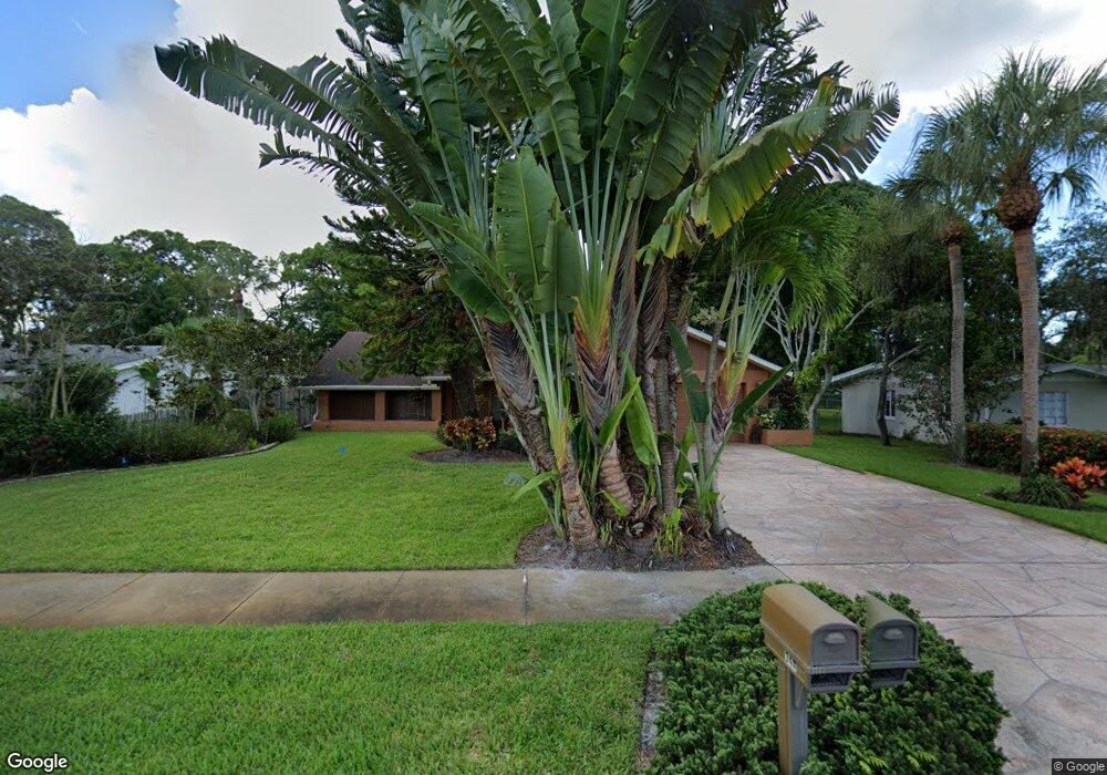
344 Hernando Ave Sarasota, FL 34243
Estimated Value: $495,000 - $568,229
2
Beds
2
Baths
1,903
Sq Ft
$281/Sq Ft
Est. Value
About This Home
This home is located at 344 Hernando Ave, Sarasota, FL 34243 and is currently estimated at $535,057, approximately $281 per square foot. 344 Hernando Ave is a home located in Manatee County with nearby schools including Florine J. Abel Elementary School, Electa Lee Magnet Middle School, and Bayshore High School.
Ownership History
Date
Name
Owned For
Owner Type
Purchase Details
Closed on
Dec 19, 2019
Sold by
Reese James
Bought by
Reese James and Jennings Neil D
Current Estimated Value
Purchase Details
Closed on
Feb 14, 2000
Sold by
Zanetti Edward George and Zanetti Olga Marie
Bought by
Reese James
Home Financials for this Owner
Home Financials are based on the most recent Mortgage that was taken out on this home.
Original Mortgage
$115,000
Interest Rate
8.21%
Create a Home Valuation Report for This Property
The Home Valuation Report is an in-depth analysis detailing your home's value as well as a comparison with similar homes in the area
Home Values in the Area
Average Home Value in this Area
Purchase History
| Date | Buyer | Sale Price | Title Company |
|---|---|---|---|
| Reese James | -- | None Available | |
| Reese James | $155,000 | -- | |
| Reese James | $155,000 | -- |
Source: Public Records
Mortgage History
| Date | Status | Borrower | Loan Amount |
|---|---|---|---|
| Previous Owner | Reese James | $115,000 |
Source: Public Records
Tax History Compared to Growth
Tax History
| Year | Tax Paid | Tax Assessment Tax Assessment Total Assessment is a certain percentage of the fair market value that is determined by local assessors to be the total taxable value of land and additions on the property. | Land | Improvement |
|---|---|---|---|---|
| 2025 | $2,316 | $183,775 | -- | -- |
| 2024 | $2,316 | $178,596 | -- | -- |
| 2023 | $2,329 | $173,394 | $0 | $0 |
| 2022 | $2,255 | $168,344 | $0 | $0 |
| 2021 | $2,145 | $163,441 | $0 | $0 |
| 2020 | $2,203 | $161,184 | $0 | $0 |
| 2019 | $2,158 | $157,560 | $0 | $0 |
| 2018 | $2,128 | $154,622 | $0 | $0 |
| 2017 | $1,975 | $151,442 | $0 | $0 |
| 2016 | $1,961 | $148,327 | $0 | $0 |
| 2015 | $1,970 | $147,296 | $0 | $0 |
| 2014 | $1,970 | $146,127 | $0 | $0 |
| 2013 | $1,922 | $143,967 | $0 | $0 |
Source: Public Records
Map
Nearby Homes
- 409 Archibald Ave
- 339 Suwanee Ave
- 8223 Constance Dr
- 8255 Longbay Blvd
- 8258 Longbay Blvd
- 344 Bernard Ave
- 349 Scott Ave
- 7754 Westmoreland Dr
- 7746 Westmoreland Dr
- 7620 Westmoreland Dr
- 213 Gaines Ave
- 448 58th St
- 480 58th St
- 7348 Phillips St
- 7324 Phillips St
- 138 Pearl Ave
- 7222 Meadowbrook Dr
- 361 Whitfield Ave
- 7225 Willow St
- 801 Ponderosa Pine Ln
- 340 Hernando Ave
- 348 Hernando Ave
- 336 Hernando Ave
- 341 Braden Ave
- 352 Hernando Ave
- 347 Braden Ave
- 337 Braden Ave
- 359 Braden Ave
- 343 Hernando Ave Unit n/a
- 343 Hernando Ave
- 339 Hernando Ave
- 347 Hernando Ave
- 333 Braden Ave
- 332 Hernando Ave
- 356 Hernando Ave
- 335 Hernando Ave
- 351 Hernando Ave
- 329 Braden Ave
- 331 Hernando Ave
- 326 Hernando Ave