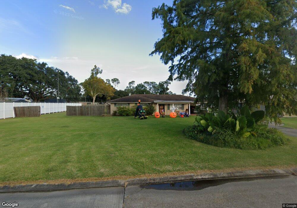
344 Mckinley St Houma, LA 70364
North Houma NeighborhoodEstimated Value: $102,000 - $189,000
3
Beds
2
Baths
1,605
Sq Ft
$101/Sq Ft
Est. Value
About This Home
This home is located at 344 Mckinley St, Houma, LA 70364 and is currently estimated at $162,606, approximately $101 per square foot. 344 Mckinley St is a home located in Terrebonne Parish with nearby schools including Legion Park Elementary, Houma Junior High School, and Terrebonne High School.
Ownership History
Date
Name
Owned For
Owner Type
Purchase Details
Closed on
Sep 26, 2023
Sold by
Gottschalk Stephan
Bought by
Hutchinson Eric Paul and Hutchinson Amanda Landry
Current Estimated Value
Home Financials for this Owner
Home Financials are based on the most recent Mortgage that was taken out on this home.
Original Mortgage
$186,067
Outstanding Balance
$182,387
Interest Rate
7.09%
Mortgage Type
FHA
Estimated Equity
-$19,781
Create a Home Valuation Report for This Property
The Home Valuation Report is an in-depth analysis detailing your home's value as well as a comparison with similar homes in the area
Home Values in the Area
Average Home Value in this Area
Purchase History
| Date | Buyer | Sale Price | Title Company |
|---|---|---|---|
| Hutchinson Eric Paul | $189,500 | Amo Title Services | |
| Hutchinson Eric Paul | $189,500 | Amo Title Services |
Source: Public Records
Mortgage History
| Date | Status | Borrower | Loan Amount |
|---|---|---|---|
| Open | Hutchinson Eric Paul | $186,067 | |
| Closed | Hutchinson Eric Paul | $186,067 |
Source: Public Records
Tax History Compared to Growth
Tax History
| Year | Tax Paid | Tax Assessment Tax Assessment Total Assessment is a certain percentage of the fair market value that is determined by local assessors to be the total taxable value of land and additions on the property. | Land | Improvement |
|---|---|---|---|---|
| 2024 | $819 | $14,950 | $3,150 | $11,800 |
| 2023 | $819 | $10,090 | $2,240 | $7,850 |
| 2022 | $361 | $10,090 | $2,240 | $7,850 |
| 2021 | $283 | $9,310 | $2,240 | $7,070 |
| 2020 | $857 | $10,090 | $2,240 | $7,850 |
| 2019 | $929 | $10,090 | $2,240 | $7,850 |
| 2018 | $322 | $9,610 | $2,130 | $7,480 |
| 2017 | $899 | $9,610 | $2,130 | $7,480 |
| 2015 | $159 | $9,610 | $2,130 | $7,480 |
| 2014 | $322 | $9,610 | $0 | $0 |
| 2013 | $323 | $9,610 | $0 | $0 |
Source: Public Records
Map
Nearby Homes
- 509 Central Ave
- 319 Central Ave
- 401 Maple Ave
- 280 Mckinley St
- 273 Brooklyn Ave
- 613 Duval Ave
- 506 Duval Ave
- 261 Mckinley St
- 513 Wilson Ave
- 1005 Morrison Ave
- 402 Wilson Ave
- 211 Central Ave
- 1103 Morrison Ave
- 479 Gouaux Ave
- 306 Jefferson Davis St
- 477 Gouaux Ave
- 211 Prince Collins St
- 1113 Franklin Ave
- 307 Suthon Ave
- 510 Eighth St
- 342 Mckinley St
- 505 Wright Ave
- 507 Wright Ave
- 301 Rightor St
- 337 Mckinley St
- 350 Mckinley St
- 334 Mc Kinley St
- 313 Rightor St
- 501 Wright Ave
- 427 Wright Ave
- 335 Mckinley St
- 409 Wright Ave
- 202 Rightor St
- 403 Rightor St
- 333 Mckinley St
- 318 Brooklyn Ave
- 800 Wright Ave
- 300 Rightor St
- 316 Brooklyn Ave
- 326 Mckinley St