344 Pikes Bluff Dr Saint Simons Island, GA 31522
Estimated Value: $1,642,000 - $1,648,330
--
Bed
--
Bath
--
Sq Ft
2.04
Acres
About This Home
This home is located at 344 Pikes Bluff Dr, Saint Simons Island, GA 31522 and is currently estimated at $1,645,165. 344 Pikes Bluff Dr is a home located in Glynn County with nearby schools including Oglethorpe Point Elementary School, Glynn Middle School, and Glynn Academy.
Ownership History
Date
Name
Owned For
Owner Type
Purchase Details
Closed on
Nov 7, 2023
Sold by
Rogers Frances Gail
Bought by
Straker Drew F and Straker Richard J
Current Estimated Value
Purchase Details
Closed on
Apr 18, 2023
Sold by
Sia Propco Ii Llc
Bought by
Rogers Joe W and Rogers Frances Gail
Purchase Details
Closed on
Mar 18, 2014
Sold by
Sea Island Acquisition Llc
Bought by
Sia Propco Ii Llc
Purchase Details
Closed on
Dec 17, 2008
Sold by
William Ross Development C
Bought by
Sea Island Company
Purchase Details
Closed on
Dec 31, 2007
Sold by
Sea Island Coastal Propert
Bought by
William Ross Development Compa
Create a Home Valuation Report for This Property
The Home Valuation Report is an in-depth analysis detailing your home's value as well as a comparison with similar homes in the area
Home Values in the Area
Average Home Value in this Area
Purchase History
| Date | Buyer | Sale Price | Title Company |
|---|---|---|---|
| Straker Drew F | $1,525,000 | -- | |
| Rogers Joe W | $1,000,000 | -- | |
| Sia Propco Ii Llc | -- | -- | |
| Sea Island Company | $3,200,000 | -- | |
| William Ross Development Compa | $3,200,000 | -- |
Source: Public Records
Tax History Compared to Growth
Tax History
| Year | Tax Paid | Tax Assessment Tax Assessment Total Assessment is a certain percentage of the fair market value that is determined by local assessors to be the total taxable value of land and additions on the property. | Land | Improvement |
|---|---|---|---|---|
| 2025 | $14,546 | $580,000 | $580,000 | $0 |
| 2024 | $14,546 | $580,000 | $580,000 | $0 |
| 2023 | $8,355 | $340,000 | $340,000 | $0 |
| 2022 | $6,019 | $240,000 | $240,000 | $0 |
| 2021 | $6,206 | $240,000 | $240,000 | $0 |
| 2020 | $7,102 | $320,000 | $320,000 | $0 |
| 2019 | $8,355 | $320,000 | $320,000 | $0 |
| 2018 | $10,227 | $391,680 | $391,680 | $0 |
| 2017 | $10,227 | $391,680 | $391,680 | $0 |
| 2016 | $8,878 | $435,200 | $435,200 | $0 |
| 2015 | $10,488 | $435,200 | $435,200 | $0 |
| 2014 | $10,488 | $435,200 | $435,200 | $0 |
Source: Public Records
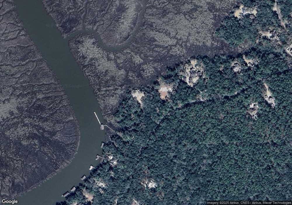
Map
Nearby Homes
- 339 Pikes Bluff Dr
- 316 Pikes Bluff Dr
- 49 Hatton Ln
- 107 Saint Annies Ln
- 155 Saint Annies Ln
- 143 Kirkaldy Ln
- 413 Mimosa Dr
- 24 Hinchinbrooke Cir
- 437 Mimosa Dr
- 255 Saint Annies Ln
- 136 W Point Pkwy
- 126 Point Ln
- 75 Palisade Ln
- 106 Telford Ln
- 122 Robertson Cir
- 301 Saint Annies Ln
- 1333 Pikes Bluff Rd
- 1309 Pikes Bluff Rd
- 1241 Pikes Bluff Rd
- 107 Harris Ln
- 344 Pike's Bluff Dr
- 340 Pikes Bluff Dr
- 334 & 340 Pikes Bluff Dr
- 334 Pikes Bluff Dr Unit (Lot 199)
- 356 Pikes Bluff Dr
- 326 Pike's Bluff Drive (Lot 198)
- 327 Pike's Bluff Dr
- 445 Pike's Bluff Dr
- 106 Kirkaldy Ln
- 362 Pike's Bluff Dr
- 322 Pikes Bluff Dr
- 322 Pikes Bluff Dr
- 322 Pike's Bluff Dr
- 368 Pikes Bluff Dr Unit (Lot 205)
- 410 Pikes Bluff Dr
- 302 Pikes Bluff Dr
- 371 Pikes Bluff Dr Unit (Lot 226)
- 371 Pikes Bluff Dr
- 374 Pikes Bluff Dr
- 310 Pikes Bluff Dr