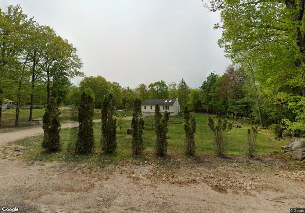
344 Ridge Rd Middleton, NH 03887
Estimated Value: $378,000 - $475,488
3
Beds
2
Baths
2,084
Sq Ft
$210/Sq Ft
Est. Value
About This Home
This home is located at 344 Ridge Rd, Middleton, NH 03887 and is currently estimated at $436,872, approximately $209 per square foot. 344 Ridge Rd is a home located in Strafford County with nearby schools including Valley View Community School, Henry Wilson Memorial School, and Farmington Senior High School.
Ownership History
Date
Name
Owned For
Owner Type
Purchase Details
Closed on
Jan 9, 2026
Sold by
Jennison Trisha and Jennison Shawn
Bought by
Jennison
Current Estimated Value
Purchase Details
Closed on
Nov 22, 2019
Sold by
Jennison Trisha
Bought by
Jennison Trisha and Jennison Shawn
Home Financials for this Owner
Home Financials are based on the most recent Mortgage that was taken out on this home.
Original Mortgage
$114,500
Interest Rate
3.18%
Mortgage Type
New Conventional
Purchase Details
Closed on
Mar 17, 2004
Sold by
Jennison-Builder Steven A
Bought by
Jennison Trisha
Home Financials for this Owner
Home Financials are based on the most recent Mortgage that was taken out on this home.
Original Mortgage
$125,000
Interest Rate
5.71%
Mortgage Type
Purchase Money Mortgage
Create a Home Valuation Report for This Property
The Home Valuation Report is an in-depth analysis detailing your home's value as well as a comparison with similar homes in the area
Home Values in the Area
Average Home Value in this Area
Purchase History
| Date | Buyer | Sale Price | Title Company |
|---|---|---|---|
| Jennison | -- | -- | |
| Jennison Trisha | -- | -- | |
| Jennison Trisha | $160,000 | -- |
Source: Public Records
Mortgage History
| Date | Status | Borrower | Loan Amount |
|---|---|---|---|
| Previous Owner | Jennison Trisha | $114,500 | |
| Previous Owner | Jennison Trisha | $32,000 | |
| Previous Owner | Jennison Trisha | $50,000 | |
| Previous Owner | Jennison Trisha | $125,000 |
Source: Public Records
Tax History
| Year | Tax Paid | Tax Assessment Tax Assessment Total Assessment is a certain percentage of the fair market value that is determined by local assessors to be the total taxable value of land and additions on the property. | Land | Improvement |
|---|---|---|---|---|
| 2025 | $6,093 | $385,900 | $149,300 | $236,600 |
| 2024 | $5,997 | $385,900 | $149,300 | $236,600 |
| 2023 | $5,804 | $385,900 | $149,300 | $236,600 |
| 2022 | $5,189 | $198,900 | $57,300 | $141,600 |
| 2021 | $5,462 | $198,900 | $57,300 | $141,600 |
| 2020 | $5,623 | $198,900 | $57,300 | $141,600 |
| 2019 | $5,227 | $198,900 | $57,300 | $141,600 |
| 2018 | $1,745 | $198,900 | $57,300 | $141,600 |
| 2017 | $1,695 | $173,900 | $56,000 | $117,900 |
| 2016 | $6,288 | $173,900 | $56,000 | $117,900 |
| 2015 | $5,002 | $174,600 | $56,000 | $118,600 |
| 2014 | $4,396 | $174,600 | $56,000 | $118,600 |
| 2013 | $4,121 | $174,600 | $56,000 | $118,600 |
Source: Public Records
Map
Nearby Homes
- 46-2 & 47 New Hampshire 153
- 10 New Durham Rd
- lot 20 Access Rd
- Lot 19 Access Rd
- lot 15 Access Rd
- lot 14 Access Rd
- 50 Kings Hwy
- 57 Pinkham Rd
- 169 Whippoorwill Rd
- 156 Access Rd
- 266 Access Rd
- 0 Pinkham Rd Unit Map 8 Lot 6-4
- 123 Pinkham Rd
- 288 Pinkham Rd
- 31 Pine Rd
- 29 Birch Rd
- 115 Lakeshore Dr
- 0 Fox Rd Unit 5010590
- 0 White Mountain Hwy Unit 5033185
- 564 White Mountain Hwy
Your Personal Tour Guide
Ask me questions while you tour the home.