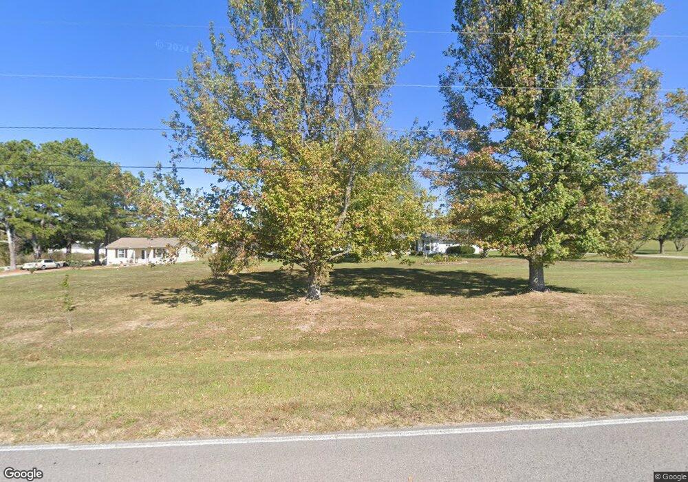
344 Snell Rd Shelbyville, TN 37160
Estimated Value: $291,877 - $412,000
--
Bed
2
Baths
1,400
Sq Ft
$257/Sq Ft
Est. Value
About This Home
This home is located at 344 Snell Rd, Shelbyville, TN 37160 and is currently estimated at $359,969, approximately $257 per square foot. 344 Snell Rd is a home located in Bedford County with nearby schools including Liberty Elementary School.
Ownership History
Date
Name
Owned For
Owner Type
Purchase Details
Closed on
Jun 19, 1989
Bought by
Finch Jim Bradley and Patricia Sue
Current Estimated Value
Purchase Details
Closed on
Sep 26, 1988
Bought by
Williams Roger Dale
Purchase Details
Closed on
Nov 19, 1987
Bought by
King James M and King Myrna G
Purchase Details
Closed on
Apr 2, 1987
Bought by
King James M
Purchase Details
Closed on
Sep 25, 1980
Bought by
Perry Arthur Eugene and Perry Joanne
Create a Home Valuation Report for This Property
The Home Valuation Report is an in-depth analysis detailing your home's value as well as a comparison with similar homes in the area
Home Values in the Area
Average Home Value in this Area
Purchase History
| Date | Buyer | Sale Price | Title Company |
|---|---|---|---|
| Finch Jim Bradley | $58,000 | -- | |
| Williams Roger Dale | $70,000 | -- | |
| King James M | -- | -- | |
| King James M | $75,000 | -- | |
| Perry Arthur Eugene | -- | -- |
Source: Public Records
Tax History Compared to Growth
Tax History
| Year | Tax Paid | Tax Assessment Tax Assessment Total Assessment is a certain percentage of the fair market value that is determined by local assessors to be the total taxable value of land and additions on the property. | Land | Improvement |
|---|---|---|---|---|
| 2025 | $1,220 | $52,750 | $0 | $0 |
| 2024 | $1,220 | $52,450 | $15,400 | $37,050 |
| 2023 | $1,220 | $52,450 | $15,400 | $37,050 |
| 2022 | $1,220 | $52,450 | $15,400 | $37,050 |
| 2021 | $1,031 | $52,450 | $15,400 | $37,050 |
| 2020 | $783 | $52,450 | $15,400 | $37,050 |
| 2019 | $783 | $29,425 | $8,300 | $21,125 |
| 2018 | $753 | $29,425 | $8,300 | $21,125 |
| 2017 | $753 | $29,425 | $8,300 | $21,125 |
| 2016 | $742 | $29,425 | $8,300 | $21,125 |
| 2015 | $742 | $29,425 | $8,300 | $21,125 |
| 2014 | $657 | $28,929 | $0 | $0 |
Source: Public Records
Map
Nearby Homes
- 1261 Highway 130 W
- 349 Naron Rd
- 485 Naron Rd
- 7 Dixon Rd
- 12 Dixon Rd
- 1106 Highway 130 W
- 112 August Way
- 321 Dixon Rd
- 116 Stonebrook Dr
- 107 Stonebrook Dr
- 1617 Highway 130 W
- 0 Dixon Rd Unit RTC3045417
- 0 Hilltop Dr
- 8 Farris Ln
- 102 Doak St
- 388 Coble Rd
- 127 Doak St
- 0 Knight Campground Rd
- 3 Knight Campground Rd
- 302 Graydon St