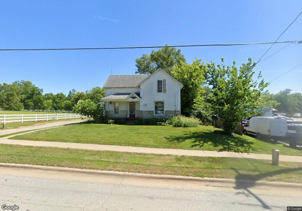
344 W Main St West Branch, IA 52358
Estimated Value: $209,000 - $232,000
4
Beds
1
Bath
1,478
Sq Ft
$148/Sq Ft
Est. Value
About This Home
This home is located at 344 W Main St, West Branch, IA 52358 and is currently estimated at $219,177, approximately $148 per square foot. 344 W Main St is a home with nearby schools including Hoover Elementary School, West Branch Middle School, and West Branch High School.
Ownership History
Date
Name
Owned For
Owner Type
Purchase Details
Closed on
May 19, 2025
Sold by
Fuhrmeister Janis K
Bought by
Fuhrmeister Brian C and Fuhrmeister Glen R
Current Estimated Value
Purchase Details
Closed on
May 9, 2025
Sold by
Fuhrmeister Robert J
Bought by
Fuhrmeister Janis K
Purchase Details
Closed on
Jan 25, 2022
Sold by
Radford Jerrold A and Radford Dianne E
Bought by
Jerrold Radford And Dianne Radford Living Tru
Create a Home Valuation Report for This Property
The Home Valuation Report is an in-depth analysis detailing your home's value as well as a comparison with similar homes in the area
Home Values in the Area
Average Home Value in this Area
Purchase History
| Date | Buyer | Sale Price | Title Company |
|---|---|---|---|
| Fuhrmeister Brian C | -- | None Listed On Document | |
| Fuhrmeister Brian C | -- | None Listed On Document | |
| Fuhrmeister Janis K | -- | None Listed On Document | |
| Jerrold Radford And Dianne Radford Living Tru | -- | None Listed On Document |
Source: Public Records
Tax History Compared to Growth
Tax History
| Year | Tax Paid | Tax Assessment Tax Assessment Total Assessment is a certain percentage of the fair market value that is determined by local assessors to be the total taxable value of land and additions on the property. | Land | Improvement |
|---|---|---|---|---|
| 2025 | $2,910 | $176,000 | $68,800 | $107,200 |
| 2024 | $2,910 | $171,330 | $68,800 | $102,530 |
| 2023 | $2,768 | $164,890 | $68,800 | $96,090 |
| 2022 | $2,614 | $135,220 | $58,800 | $76,420 |
| 2021 | $2,736 | $135,220 | $58,800 | $76,420 |
| 2020 | $2,652 | $135,220 | $58,800 | $76,420 |
| 2019 | $2,016 | $110,560 | $0 | $0 |
| 2018 | $1,974 | $110,560 | $0 | $0 |
| 2017 | $1,974 | $114,090 | $0 | $0 |
| 2016 | $2,164 | $114,090 | $0 | $0 |
| 2015 | $2,158 | $113,380 | $0 | $0 |
| 2014 | $2,072 | $113,380 | $0 | $0 |
Source: Public Records
Map
Nearby Homes
- 173 Hilltop Dr
- 611 Riley Ln
- 120 N Downey St
- 609 W Orange St
- 127 N Downey St
- 426 N 1st St
- 212 Dawson Dr
- 719 Sullivan St
- 316 S Maple St
- Lot 17 Meadows Subdivision Part 5
- 360 Cookson Dr
- Lot 19 Meadows Subdivision Part 6
- Lot 17 Meadows Subdivision Part 6
- Lot 16 Meadows Subdivision Part 6
- 314 Sycamore Dr
- 312 Sycamore Dr
- 316 Sycamore Dr
- Lot 11 Meadows Subdivision Part 6
- 121 Northridge Dr Unit 121-139
- Lot 14 Meadows Subdivision Part 6