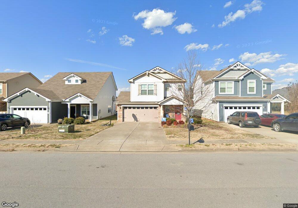
3440 Oval Hesson Ct Unit 74 Murfreesboro, TN 37128
Estimated Value: $371,000 - $415,000
--
Bed
3
Baths
1,650
Sq Ft
$238/Sq Ft
Est. Value
About This Home
This home is located at 3440 Oval Hesson Ct Unit 74, Murfreesboro, TN 37128 and is currently estimated at $393,108, approximately $238 per square foot. 3440 Oval Hesson Ct Unit 74 is a home located in Rutherford County with nearby schools including Scales Elementary School, Rockvale Middle School, and Rockvale High School.
Ownership History
Date
Name
Owned For
Owner Type
Purchase Details
Closed on
Aug 26, 2015
Sold by
Mcbride Matthew M
Bought by
Freo Tennessee Llc
Current Estimated Value
Purchase Details
Closed on
Sep 30, 2014
Sold by
Ole South Properties Inc
Bought by
Mcbride Matthew M
Home Financials for this Owner
Home Financials are based on the most recent Mortgage that was taken out on this home.
Original Mortgage
$174,775
Interest Rate
4.17%
Mortgage Type
FHA
Purchase Details
Closed on
Apr 18, 1997
Sold by
Mccormick Homes
Bought by
Mccormick Homes
Create a Home Valuation Report for This Property
The Home Valuation Report is an in-depth analysis detailing your home's value as well as a comparison with similar homes in the area
Home Values in the Area
Average Home Value in this Area
Purchase History
| Date | Buyer | Sale Price | Title Company |
|---|---|---|---|
| Freo Tennessee Llc | $183,000 | -- | |
| Mcbride Matthew M | $178,000 | -- | |
| Mccormick Homes | -- | -- |
Source: Public Records
Mortgage History
| Date | Status | Borrower | Loan Amount |
|---|---|---|---|
| Previous Owner | Mcbride Matthew M | $174,775 |
Source: Public Records
Tax History Compared to Growth
Tax History
| Year | Tax Paid | Tax Assessment Tax Assessment Total Assessment is a certain percentage of the fair market value that is determined by local assessors to be the total taxable value of land and additions on the property. | Land | Improvement |
|---|---|---|---|---|
| 2025 | $2,073 | $73,300 | $13,750 | $59,550 |
| 2024 | $2,073 | $73,300 | $13,750 | $59,550 |
| 2023 | $1,375 | $73,300 | $13,750 | $59,550 |
| 2022 | $1,185 | $73,300 | $13,750 | $59,550 |
| 2021 | $1,140 | $51,350 | $9,375 | $41,975 |
| 2020 | $1,140 | $51,350 | $9,375 | $41,975 |
| 2019 | $1,140 | $51,350 | $9,375 | $41,975 |
Source: Public Records
Map
Nearby Homes
- 3429 Deerview Dr
- 3409 Nightshade Dr
- 2339 Shafer Dr
- 1315 Elevation ABC Plan at Evergreen Farms
- 3525 Nightshade Dr
- 3217 Mapleside Ln
- 2044 Alysheba Run
- 2040 Alysheba Run
- 3508 Donerail Cir
- 3116 Mapleside Ln
- 2003 Tabasco Way
- 1944 Colyn Ave
- 1924 Oak Dr
- 1920 Oak Dr
- 1904 Oak Dr
- 1814 Oak Dr
- 1943 Odessa Ave
- 2017 Victory Gallop Ln
- 2018 Debonair Ln
- 2927 Stuyvesant Ln
- 3440 Oval Hesson Ct
- 3440 Oval Hesson Ln
- 3436 Oval Hesson Ln
- 3436 Oval Hesson Ct Unit 75
- 3444 Oval Hesson Ct Unit 73
- 3444 Oval Hesson Ln
- 3448 Oval Hesson Ln
- 3452 Oval Hesson Ln
- 3452 Oval Hesson Ct Unit 71
- 3452 Oval Hesson Ln
- 3413 Salem Cove Ln
- 3409 Salem Cove Ln
- 3417 Salem Cove Ln
- 3456 Oval Hesson Ln
- 3460 Oval Hesson Ln
- 3456 Oval Hesson Ct Unit 70
- 3421 Salem Cove Ln
- 2410 Saint Andrews Dr
- 3464 Oval Hesson Ln
- 3425 Salem Cove Ln