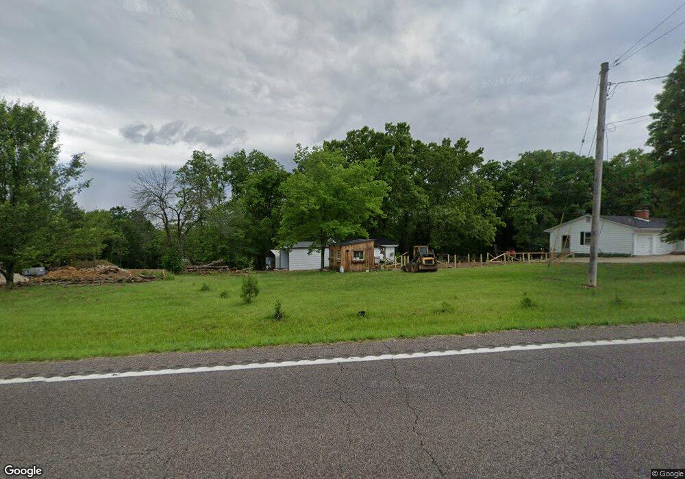
3443 Highway A Washington, MO 63090
Estimated Value: $257,000 - $327,000
2
Beds
1
Bath
1,302
Sq Ft
$232/Sq Ft
Est. Value
About This Home
This home is located at 3443 Highway A, Washington, MO 63090 and is currently estimated at $302,264, approximately $232 per square foot. 3443 Highway A is a home located in Franklin County with nearby schools including Washington High School, St. Gertrude Catholic School, and Immaculate Conception School.
Ownership History
Date
Name
Owned For
Owner Type
Purchase Details
Closed on
Oct 1, 2019
Sold by
Lindsey Trust
Bought by
Marquitz William and Marquitz Mary
Current Estimated Value
Home Financials for this Owner
Home Financials are based on the most recent Mortgage that was taken out on this home.
Original Mortgage
$185,000
Outstanding Balance
$162,069
Interest Rate
3.5%
Mortgage Type
New Conventional
Estimated Equity
$140,195
Purchase Details
Closed on
Mar 6, 2017
Sold by
Weil Family Llc
Bought by
Lindsey Trust
Create a Home Valuation Report for This Property
The Home Valuation Report is an in-depth analysis detailing your home's value as well as a comparison with similar homes in the area
Home Values in the Area
Average Home Value in this Area
Purchase History
| Date | Buyer | Sale Price | Title Company |
|---|---|---|---|
| Marquitz William | -- | None Available | |
| Lindsey Trust | -- | -- |
Source: Public Records
Mortgage History
| Date | Status | Borrower | Loan Amount |
|---|---|---|---|
| Open | Marquitz William | $185,000 |
Source: Public Records
Tax History Compared to Growth
Tax History
| Year | Tax Paid | Tax Assessment Tax Assessment Total Assessment is a certain percentage of the fair market value that is determined by local assessors to be the total taxable value of land and additions on the property. | Land | Improvement |
|---|---|---|---|---|
| 2024 | $1,704 | $30,754 | $0 | $0 |
| 2023 | $1,704 | $30,433 | $0 | $0 |
| 2022 | $1,683 | $30,304 | $0 | $0 |
| 2021 | $1,683 | $30,304 | $0 | $0 |
| 2020 | $1,611 | $27,900 | $0 | $0 |
| 2019 | $1,605 | $27,900 | $0 | $0 |
| 2018 | $1,487 | $27,228 | $0 | $0 |
| 2017 | $1,491 | $27,228 | $0 | $0 |
| 2016 | $1,410 | $25,611 | $0 | $0 |
| 2015 | $1,409 | $25,611 | $0 | $0 |
| 2014 | $1,422 | $25,848 | $0 | $0 |
Source: Public Records
Map
Nearby Homes
- 541 Rock Creek Dr
- 186 Little Rock Creek Ct
- 613 Rock Creek Dr
- 873 W Park Rd
- 21 Forest Ln
- 406 Mark Twain Loop
- 405 Mark Twain Loop
- 443 Mark Twain Loop
- 33 Hickory Cir
- 54 Hickory Cir
- 430 Mark Twain Loop
- 89 Hickory Cir
- 101 Hickory Cir
- 513 Sawgrass Ct
- 952 Brookline Dr
- 2872 Highway A
- 3 Mount Vernon Ct
- 1017 Delmar Ave
- 7 Georgetown Ct
- 2 Tanya Ln
- 3443 Highway A
- 3443 Highway A
- 3463 Highway A
- 3463 Highway A
- 208 Ridge Run Dr
- 218 Ridge Run Dr
- 3428 Highway A
- 220 Ridge Run Dr
- 217 Ridge Run Dr
- 3483 Highway A
- 209 Ridge Run Dr
- 202 Ridge Run Dr
- 0Lot #52 Ridge Run
- 512 Rock Creek Dr
- 225 Ridge Run Dr
- 3408 Highway A
- 512 Rock Creek Dr
- 231 Ridge Run Dr
- 53LOT Ridge Run Dr
- 242 Ridge Run Dr