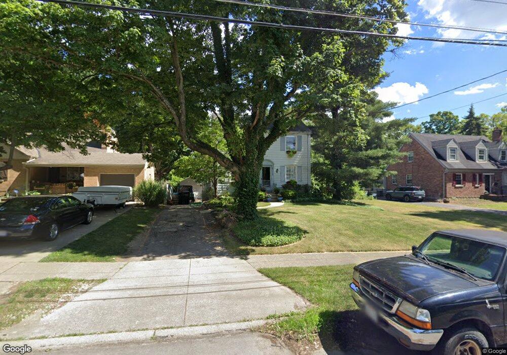
3443 Locust Ln Cincinnati, OH 45238
Westwood NeighborhoodEstimated Value: $184,548 - $253,000
3
Beds
1
Bath
1,422
Sq Ft
$153/Sq Ft
Est. Value
About This Home
This home is located at 3443 Locust Ln, Cincinnati, OH 45238 and is currently estimated at $217,887, approximately $153 per square foot. 3443 Locust Ln is a home located in Hamilton County with nearby schools including Midway Elementary School, Western Hills High School, and Gilbert A. Dater High School.
Ownership History
Date
Name
Owned For
Owner Type
Purchase Details
Closed on
Jul 19, 2004
Sold by
Riordan Krista A and Riordan Michael David
Bought by
Fehring Michelle A
Current Estimated Value
Home Financials for this Owner
Home Financials are based on the most recent Mortgage that was taken out on this home.
Original Mortgage
$108,000
Interest Rate
6.42%
Mortgage Type
Unknown
Purchase Details
Closed on
Jul 5, 2000
Sold by
Bucher Christopher J
Bought by
Anderson Krista L
Purchase Details
Closed on
Sep 15, 1998
Sold by
James Timothy G and James Julie H
Bought by
Anderson Krista L and Bucher Christopher J
Create a Home Valuation Report for This Property
The Home Valuation Report is an in-depth analysis detailing your home's value as well as a comparison with similar homes in the area
Home Values in the Area
Average Home Value in this Area
Purchase History
| Date | Buyer | Sale Price | Title Company |
|---|---|---|---|
| Fehring Michelle A | $135,000 | -- | |
| Anderson Krista L | -- | -- | |
| Anderson Krista L | $99,300 | -- |
Source: Public Records
Mortgage History
| Date | Status | Borrower | Loan Amount |
|---|---|---|---|
| Previous Owner | Fehring Michelle A | $108,000 |
Source: Public Records
Tax History
| Year | Tax Paid | Tax Assessment Tax Assessment Total Assessment is a certain percentage of the fair market value that is determined by local assessors to be the total taxable value of land and additions on the property. | Land | Improvement |
|---|---|---|---|---|
| 2025 | $2,890 | $46,725 | $7,350 | $39,375 |
| 2023 | $2,867 | $46,725 | $7,350 | $39,375 |
| 2022 | $1,849 | $26,937 | $5,968 | $20,969 |
| 2021 | $1,778 | $26,937 | $5,968 | $20,969 |
| 2020 | $1,828 | $26,937 | $5,968 | $20,969 |
| 2019 | $1,817 | $24,486 | $5,425 | $19,061 |
| 2018 | $1,819 | $24,486 | $5,425 | $19,061 |
| 2017 | $1,729 | $24,486 | $5,425 | $19,061 |
| 2016 | $2,212 | $30,940 | $6,300 | $24,640 |
| 2015 | $1,994 | $30,940 | $6,300 | $24,640 |
| 2014 | $2,008 | $30,940 | $6,300 | $24,640 |
| 2013 | $2,127 | $32,229 | $6,563 | $25,666 |
Source: Public Records
Map
Nearby Homes
- 3531 Werk Rd
- 3004 Glenmore Ave
- 3281 Pickbury Dr
- 2710 Carroll Ave
- 3305 Queen City Ave
- 3230 Stanhope Ave
- 3238 Buell St
- 2195 Woodmere Ct
- 2299 Townhill Rd
- 5487 Belcross Ct
- 3599 Schwartze Ave
- 2985 Welge Ln
- 5375 Werk Rd
- 3244 Glenmore Ave
- 3317 Buell St
- 3617 Fieldcrest Dr
- 3578 Fieldcrest Dr
- 5461 Bellfield Ln
- 3223 Manning Ave
- 3234 Manning Ave
- 3439 Locust Ln
- 3445 Locust Ln
- 3431 Locust Ln
- 3444 Locust Ln
- 3438 Corrine Ave
- 3434 Corrine Ave
- 3446 Corrine Ave
- 3427 Locust Ln
- 3509 Locust Ln
- 3438 Locust Ln
- 3430 Corrine Ave
- 3434 Locust Ln
- 3500 Locust Ln
- 3426 Corrine Ave
- 3430 Locust Ln
- 3508 Locust Ln
- 3423 Locust Ln
- 3513 Locust Ln
- 3504 Locust Ln
- 3450 Corrine Ave
Your Personal Tour Guide
Ask me questions while you tour the home.