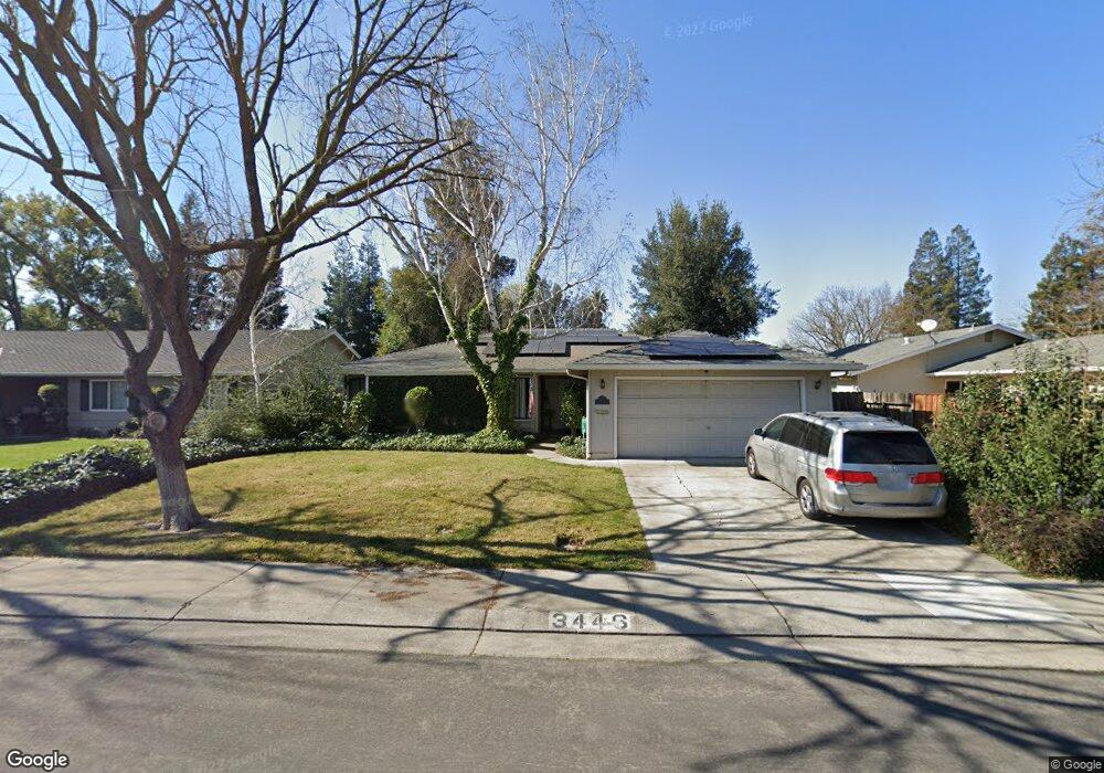
3446 Stone River Cir Stockton, CA 95219
Lincoln Village West NeighborhoodEstimated Value: $439,087 - $518,000
3
Beds
2
Baths
1,553
Sq Ft
$316/Sq Ft
Est. Value
About This Home
This home is located at 3446 Stone River Cir, Stockton, CA 95219 and is currently estimated at $490,272, approximately $315 per square foot. 3446 Stone River Cir is a home located in San Joaquin County with nearby schools including Mable Barron, Sierra Middle School, and Lincoln High School.
Ownership History
Date
Name
Owned For
Owner Type
Purchase Details
Closed on
Jun 26, 1995
Sold by
Okasaki Robert H and Bernardino Okasaki Deborah
Bought by
Gaal Sandrew J and Gaal Anna C
Current Estimated Value
Home Financials for this Owner
Home Financials are based on the most recent Mortgage that was taken out on this home.
Original Mortgage
$141,550
Interest Rate
7.88%
Create a Home Valuation Report for This Property
The Home Valuation Report is an in-depth analysis detailing your home's value as well as a comparison with similar homes in the area
Home Values in the Area
Average Home Value in this Area
Purchase History
| Date | Buyer | Sale Price | Title Company |
|---|---|---|---|
| Gaal Sandrew J | $149,000 | Chicago Title Company |
Source: Public Records
Mortgage History
| Date | Status | Borrower | Loan Amount |
|---|---|---|---|
| Closed | Gaal Sandrew J | $141,550 |
Source: Public Records
Tax History Compared to Growth
Tax History
| Year | Tax Paid | Tax Assessment Tax Assessment Total Assessment is a certain percentage of the fair market value that is determined by local assessors to be the total taxable value of land and additions on the property. | Land | Improvement |
|---|---|---|---|---|
| 2025 | $3,244 | $250,242 | $92,370 | $157,872 |
| 2024 | $3,163 | $245,336 | $90,559 | $154,777 |
| 2023 | $3,156 | $240,527 | $88,784 | $151,743 |
| 2022 | $2,879 | $235,812 | $87,044 | $148,768 |
| 2021 | $2,842 | $231,189 | $85,338 | $145,851 |
| 2020 | $2,841 | $228,819 | $84,463 | $144,356 |
| 2019 | $2,798 | $224,333 | $82,807 | $141,526 |
| 2018 | $2,748 | $219,935 | $81,184 | $138,751 |
| 2017 | $2,694 | $215,624 | $79,593 | $136,031 |
| 2016 | $2,667 | $211,396 | $78,032 | $133,364 |
| 2014 | $2,607 | $204,143 | $75,355 | $128,788 |
Source: Public Records
Map
Nearby Homes
- 3265 Shoreline Ct
- 3790 Hatchers Cir
- 3256 Lakeshore Ct
- 7348 Lighthouse Dr
- 6845 Shiloh Ct
- 6827 Shiloh Ct
- 7303 Southfield Way
- 0 Fort Donelson Dr Unit ML82024976
- 7011 Shoreham Place
- 3533 Harpers Ferry Dr
- 3722 W Benjamin Holt Dr Unit 7
- 3722 W Benjamin Holt Dr Unit 16
- 3708 N Merrimac Cir
- 7513 Richland Way
- 4233 Five Mile Dr
- 7223 Westland Dr
- 3928 Waynesboro Ct Unit 41
- 6724 Plymouth Rd Unit 44
- 6724 Plymouth Rd Unit 90
- 6724 Plymouth Rd Unit 54
- 3454 Stone River Cir
- 3510 Stone River Cir
- 3432 Stone River Cir
- 7022 Morton Ct
- 7016 Morton Ct
- 3518 Stone River Cir
- 3447 Stone River Cir
- 3455 Stone River Cir
- 3439 Stone River Cir
- 3426 Stone River Cir
- 3509 Stone River Cir
- 3463 Stone River Cir
- 3501 Stone River Cir
- 7010 Morton Ct
- 3431 Stone River Cir
- 3602 Stone River Cir
- 3517 Stone River Cir
- 7021 Morton Ct
- 3505 Five Mile Dr
- 3469 Stone River Cir