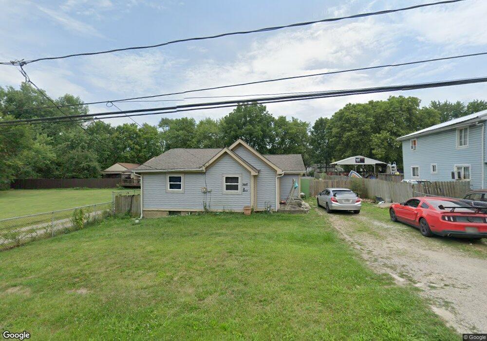
3447 Brookside Blvd Columbus, OH 43204
Estimated Value: $153,512 - $206,000
3
Beds
1
Bath
989
Sq Ft
$180/Sq Ft
Est. Value
About This Home
This home is located at 3447 Brookside Blvd, Columbus, OH 43204 and is currently estimated at $178,128, approximately $180 per square foot. 3447 Brookside Blvd is a home located in Franklin County with nearby schools including Prairie Lincoln Elementary School, Galloway Ridge Intermediate School, and Norton Middle School.
Ownership History
Date
Name
Owned For
Owner Type
Purchase Details
Closed on
Sep 28, 2018
Sold by
Walters Patrick J and Sullivan Cheryl Brooks
Bought by
Buestan Angel
Current Estimated Value
Purchase Details
Closed on
Apr 21, 2003
Sold by
Walters Jeffrey S and Walters Cheryl L
Bought by
Walters Patrick J
Purchase Details
Closed on
May 8, 1991
Bought by
Walters Jeffrey S
Purchase Details
Closed on
Feb 5, 1990
Create a Home Valuation Report for This Property
The Home Valuation Report is an in-depth analysis detailing your home's value as well as a comparison with similar homes in the area
Home Values in the Area
Average Home Value in this Area
Purchase History
| Date | Buyer | Sale Price | Title Company |
|---|---|---|---|
| Buestan Angel | $28,000 | None Available | |
| Walters Patrick J | $32,000 | -- | |
| Walters Jeffrey S | $32,000 | -- | |
| -- | $39,900 | -- |
Source: Public Records
Tax History Compared to Growth
Tax History
| Year | Tax Paid | Tax Assessment Tax Assessment Total Assessment is a certain percentage of the fair market value that is determined by local assessors to be the total taxable value of land and additions on the property. | Land | Improvement |
|---|---|---|---|---|
| 2024 | $1,885 | $36,160 | $9,770 | $26,390 |
| 2023 | $1,876 | $36,160 | $9,770 | $26,390 |
| 2022 | $1,888 | $25,030 | $4,520 | $20,510 |
| 2021 | $1,796 | $25,030 | $4,520 | $20,510 |
| 2020 | $1,793 | $25,030 | $4,520 | $20,510 |
| 2019 | $1,363 | $17,050 | $3,640 | $13,410 |
| 2018 | $717 | $17,050 | $3,640 | $13,410 |
| 2017 | $1,431 | $17,050 | $3,640 | $13,410 |
| 2016 | $1,544 | $18,730 | $3,920 | $14,810 |
| 2015 | $1,433 | $18,730 | $3,920 | $14,810 |
| 2014 | $1,434 | $18,730 | $3,920 | $14,810 |
| 2013 | $782 | $20,790 | $4,340 | $16,450 |
Source: Public Records
Map
Nearby Homes
- 3570 Dover Rd
- 3254 Dover Rd
- 3252 Dover Rd
- 3757 Gibbstone Dr
- 3761 Gibbstone Dr
- 3664 Grimes Dr
- 1150 Romona Place
- 3495 La Coste Ln
- 0 Lowell Dr Unit 223009270
- 3161 Bowdoin Cir
- 3307 Rudon Ln
- 4000 Sandy Ridge Dr
- 664 N Wilson Rd
- 2875 Lowell Dr
- 2051 Tuckaway Ct
- 2704 Scioto Station Dr Unit 2704
- 2754 Scioto Station Dr
- 355-357 N Algonquin Ave
- 527 N Hague Ave
- 514 N Hague Ave
- 3437 Brookside Blvd
- 3451 Brookside Blvd
- 3469 Brookside Blvd
- 3419 Brookside Blvd
- 3422 Dover Rd
- 3440 Dover Rd
- 3420 Brookside Blvd
- 0 Brookside Blvd
- 3481 Brookside Blvd
- 3416 Dover Rd
- 3448 Dover Rd
- 3450 Brookside Blvd
- 3411 Brookside Blvd
- 3460 Brookside Blvd
- 3410 Dover Rd
- 3468 Brookside Blvd
- 3403 Brookside Blvd
- 3464 Dover Rd
- 3400 Dover Rd
- 3505 Brookside Blvd