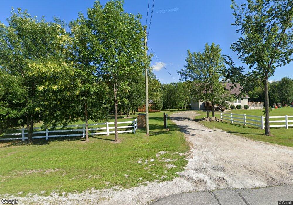
3447 Rt 11 Mooers Forks, NY 12959
Estimated Value: $184,000 - $259,970
4
Beds
3
Baths
1,560
Sq Ft
$147/Sq Ft
Est. Value
About This Home
This home is located at 3447 Rt 11, Mooers Forks, NY 12959 and is currently estimated at $228,743, approximately $146 per square foot. 3447 Rt 11 is a home located in Clinton County with nearby schools including Northeastern Clinton Senior High School.
Ownership History
Date
Name
Owned For
Owner Type
Purchase Details
Closed on
Aug 26, 2016
Bought by
Hanley Thomas
Current Estimated Value
Home Financials for this Owner
Home Financials are based on the most recent Mortgage that was taken out on this home.
Original Mortgage
$105,912
Outstanding Balance
$84,734
Interest Rate
3.48%
Mortgage Type
Unknown
Estimated Equity
$144,009
Purchase Details
Closed on
Nov 20, 2009
Purchase Details
Closed on
Jul 20, 2005
Sold by
Matthews Robert
Create a Home Valuation Report for This Property
The Home Valuation Report is an in-depth analysis detailing your home's value as well as a comparison with similar homes in the area
Home Values in the Area
Average Home Value in this Area
Purchase History
| Date | Buyer | Sale Price | Title Company |
|---|---|---|---|
| Hanley Thomas | $103,000 | Brian A Snell | |
| -- | -- | -- | |
| -- | $11,000 | John Niles |
Source: Public Records
Mortgage History
| Date | Status | Borrower | Loan Amount |
|---|---|---|---|
| Open | Hanley Thomas | $105,912 |
Source: Public Records
Tax History Compared to Growth
Tax History
| Year | Tax Paid | Tax Assessment Tax Assessment Total Assessment is a certain percentage of the fair market value that is determined by local assessors to be the total taxable value of land and additions on the property. | Land | Improvement |
|---|---|---|---|---|
| 2024 | $4,523 | $191,300 | $33,800 | $157,500 |
| 2023 | $4,692 | $191,300 | $33,800 | $157,500 |
| 2022 | $4,563 | $177,900 | $26,600 | $151,300 |
| 2021 | $4,422 | $137,900 | $19,600 | $118,300 |
| 2020 | $4,243 | $137,900 | $19,600 | $118,300 |
| 2019 | $4,135 | $137,900 | $19,600 | $118,300 |
| 2018 | $4,135 | $135,400 | $19,600 | $115,800 |
| 2017 | $2,035 | $130,000 | $19,600 | $110,400 |
| 2016 | $3,280 | $130,000 | $19,600 | $110,400 |
| 2015 | -- | $128,900 | $19,600 | $109,300 |
| 2014 | -- | $128,900 | $11,600 | $117,300 |
Source: Public Records
Map
Nearby Homes
- 3373 U S 11
- 188 Blackman Corners Rd
- 00 Route 11
- 0 N Star Rd Unit 202564
- 391 Gilbert Rd
- 1428 N Star Rd
- 2030 Alder Bend Rd
- 2949 Miner Farm Rd
- 0 Unit 178956
- 2344 U S 11
- 107 Pinewood Dr
- 57 Pinewood Dr
- 48 Pinewood Dr
- 0 White Rd
- 2247 State Route 11
- 1328 N Star Rd
- 235 Letson Rd
- 149 Green Valley Rd
- 1335 Hemmingford Rd
- L1.4 Drown Rd
- 3447 U S 11
- 3434 Rt 11
- 3452 U S 11
- 3434 U S 11
- 3434 State Route 11
- 10 Chazy River Ln
- 3452 State Route 11
- 3476 State Route 11
- 3402 State Route 11
- 3482 State Route 11
- 3398 State Route 11
- 3390 Route 11
- 3503 State Route 11
- 3503 State Route 11
- 3519 State Route 11
- 117 Big Hill Rd
- 0 Big Hill Rd
- 3345 U S 11
- 77 Allison Ln
- 3528 State Route 11