Estimated Value: $277,000 - $400,000
3
Beds
3
Baths
1,382
Sq Ft
$228/Sq Ft
Est. Value
About This Home
This home is located at 3447 Sylvan Dr, Lucas, OH 44843 and is currently estimated at $315,531, approximately $228 per square foot. 3447 Sylvan Dr is a home located in Richland County with nearby schools including Lucas Elementary School, Lucas Heritage Middle School, and Lucas High School.
Ownership History
Date
Name
Owned For
Owner Type
Purchase Details
Closed on
Feb 29, 2008
Sold by
Frazier Michael D and Frazier Mary A
Bought by
Smith Jonathon M and Smith Jessica L
Current Estimated Value
Home Financials for this Owner
Home Financials are based on the most recent Mortgage that was taken out on this home.
Original Mortgage
$136,000
Outstanding Balance
$84,771
Interest Rate
5.75%
Mortgage Type
Purchase Money Mortgage
Estimated Equity
$230,760
Purchase Details
Closed on
Mar 1, 1985
Create a Home Valuation Report for This Property
The Home Valuation Report is an in-depth analysis detailing your home's value as well as a comparison with similar homes in the area
Home Values in the Area
Average Home Value in this Area
Purchase History
| Date | Buyer | Sale Price | Title Company |
|---|---|---|---|
| Smith Jonathon M | $136,000 | Southern Title | |
| -- | $60,000 | -- |
Source: Public Records
Mortgage History
| Date | Status | Borrower | Loan Amount |
|---|---|---|---|
| Open | Smith Jonathon M | $136,000 |
Source: Public Records
Tax History Compared to Growth
Tax History
| Year | Tax Paid | Tax Assessment Tax Assessment Total Assessment is a certain percentage of the fair market value that is determined by local assessors to be the total taxable value of land and additions on the property. | Land | Improvement |
|---|---|---|---|---|
| 2024 | $3,550 | $70,210 | $12,880 | $57,330 |
| 2023 | $3,550 | $70,210 | $12,880 | $57,330 |
| 2022 | $2,683 | $48,870 | $10,320 | $38,550 |
| 2021 | $2,682 | $48,870 | $10,320 | $38,550 |
| 2020 | $2,703 | $48,870 | $10,320 | $38,550 |
| 2019 | $2,434 | $41,080 | $8,670 | $32,410 |
| 2018 | $2,413 | $41,080 | $8,670 | $32,410 |
| 2017 | $2,346 | $41,080 | $8,670 | $32,410 |
| 2016 | $2,323 | $39,360 | $8,240 | $31,120 |
| 2015 | $2,323 | $39,360 | $8,240 | $31,120 |
| 2014 | $2,278 | $39,360 | $8,240 | $31,120 |
| 2012 | $1,098 | $41,430 | $8,670 | $32,760 |
Source: Public Records
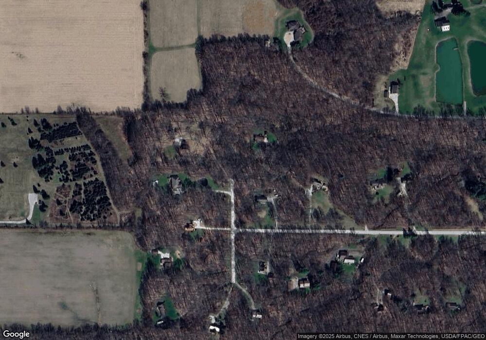
Map
Nearby Homes
- 0 Mount Zion Rd Unit 9069748
- 0 Applegate Rd
- 27 E Main St
- 2750 Lutz Ave
- 2428 Applegate Rd
- 0 Moffett Rd
- 0 Peterson Rd
- 174 W Main St
- 1048 Township Road 2156
- 19 Maine St
- 775 Touby Ln
- 1183 County Road 30a
- 0 McBride Road Parcel # 1 Unit 9066028
- 945 Pike Dr
- 598 Impala Dr
- 0 Satinwood Dr
- 2364 Satinwood Dr
- 1679 Pulver Rd
- 0 State Route 39 & I-71 Northeast Quadrant
- 1106 County Road 30a