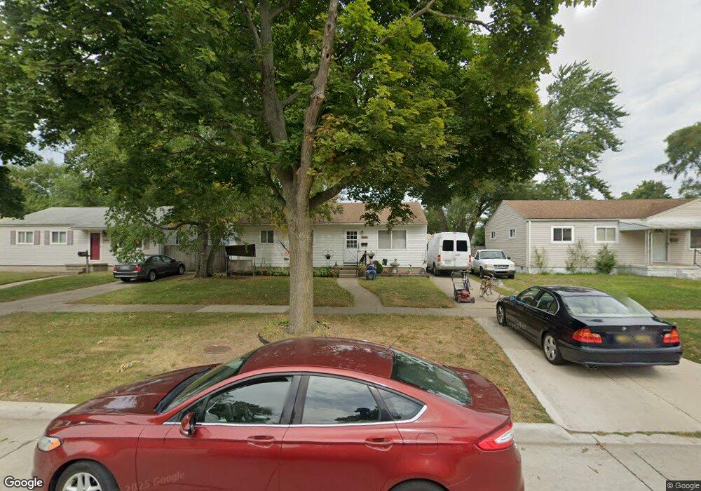
3447 Toepfer Rd Warren, MI 48091
Southwest Warren NeighborhoodEstimated Value: $121,000 - $152,000
3
Beds
2
Baths
988
Sq Ft
$136/Sq Ft
Est. Value
About This Home
This home is located at 3447 Toepfer Rd, Warren, MI 48091 and is currently estimated at $134,103, approximately $135 per square foot. 3447 Toepfer Rd is a home located in Macomb County with nearby schools including Schofield Elementary School, Mound Park Elementary School, and Westview Elementary School.
Ownership History
Date
Name
Owned For
Owner Type
Purchase Details
Closed on
Nov 24, 2020
Sold by
Kick Timothy and Kick Constance
Bought by
Kick Shirley A and Kick Thomas L
Current Estimated Value
Home Financials for this Owner
Home Financials are based on the most recent Mortgage that was taken out on this home.
Original Mortgage
$59,618
Outstanding Balance
$53,172
Interest Rate
2.8%
Mortgage Type
New Conventional
Estimated Equity
$80,931
Purchase Details
Closed on
Mar 3, 2005
Sold by
Monolidis Theodore
Bought by
Kick Timothy and Kick Constance
Create a Home Valuation Report for This Property
The Home Valuation Report is an in-depth analysis detailing your home's value as well as a comparison with similar homes in the area
Home Values in the Area
Average Home Value in this Area
Purchase History
| Date | Buyer | Sale Price | Title Company |
|---|---|---|---|
| Kick Shirley A | $80,000 | Hbi Title Services Inc | |
| Kick Timothy | $20,500 | -- |
Source: Public Records
Mortgage History
| Date | Status | Borrower | Loan Amount |
|---|---|---|---|
| Open | Kick Shirley A | $59,618 |
Source: Public Records
Tax History Compared to Growth
Tax History
| Year | Tax Paid | Tax Assessment Tax Assessment Total Assessment is a certain percentage of the fair market value that is determined by local assessors to be the total taxable value of land and additions on the property. | Land | Improvement |
|---|---|---|---|---|
| 2025 | $1,084 | $56,860 | $0 | $0 |
| 2024 | $1,055 | $48,430 | $0 | $0 |
| 2023 | $998 | $36,320 | $0 | $0 |
| 2022 | $943 | $30,640 | $0 | $0 |
| 2021 | $979 | $28,070 | $0 | $0 |
| 2020 | $937 | $25,610 | $0 | $0 |
| 2019 | $881 | $22,880 | $0 | $0 |
| 2018 | $25 | $19,840 | $0 | $0 |
| 2017 | $834 | $19,410 | $3,010 | $16,400 |
| 2016 | $816 | $19,410 | $0 | $0 |
| 2015 | -- | $18,030 | $0 | $0 |
| 2013 | $823 | $15,200 | $0 | $0 |
Source: Public Records
Map
Nearby Homes
- 3701 Berkshire Ave
- 3167 Berkshire Ave
- 3925 Toepfer Rd
- 3168 Berkshire Ave
- 3228 Rome Ave
- 3590 Dallas Ave
- 3616 Dallas Ave
- 21299 Sunset Ave
- 2746 John B Ave
- 2195 Michael Ave
- 22321 Logue Ave
- 2135 Jarvis Ave
- 2144 Pearl Ave
- 23420 Harned St Unit 1
- 23428 Harned St Unit 2
- 23421 Harned St Unit 4
- 2216 Goulson Ave
- 20499 Yonka St
- 2000 Pearl Ave
- 21820 Cunningham Ave
- 3505 Toepfer Rd
- 3435 Toepfer Rd
- 3517 Toepfer Rd
- 3423 Toepfer Rd
- 3426 Michael Ave
- 3414 Michael Ave
- 3402 Michael Ave
- 3438 Michael Ave
- 3411 Toepfer Rd
- 3529 Toepfer Rd
- 3350 Michael Ave
- 3450 Michael Ave
- 3448 Toepfer Rd
- 3506 Toepfer Rd Unit Bldg-Unit
- 3506 Toepfer Rd
- 3436 Toepfer Rd
- 3541 Toepfer Rd
- 3357 Toepfer Rd
- 3518 Toepfer Rd
- 3424 Toepfer Rd