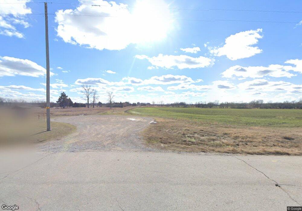
3449 W 4600 St Independence, KS 67301
Estimated Value: $163,000 - $309,000
2
Beds
1
Bath
1,128
Sq Ft
$221/Sq Ft
Est. Value
About This Home
This home is located at 3449 W 4600 St, Independence, KS 67301 and is currently estimated at $249,201, approximately $220 per square foot. 3449 W 4600 St is a home located in Montgomery County with nearby schools including Eisenhower Elementary School, Independence Middle School, and Independence Senior High School.
Ownership History
Date
Name
Owned For
Owner Type
Purchase Details
Closed on
Jul 20, 2021
Bought by
Gordon Family Land Llc
Current Estimated Value
Create a Home Valuation Report for This Property
The Home Valuation Report is an in-depth analysis detailing your home's value as well as a comparison with similar homes in the area
Home Values in the Area
Average Home Value in this Area
Purchase History
| Date | Buyer | Sale Price | Title Company |
|---|---|---|---|
| Gordon Family Land Llc | -- | -- |
Source: Public Records
Tax History Compared to Growth
Tax History
| Year | Tax Paid | Tax Assessment Tax Assessment Total Assessment is a certain percentage of the fair market value that is determined by local assessors to be the total taxable value of land and additions on the property. | Land | Improvement |
|---|---|---|---|---|
| 2025 | $32 | $24,983 | $9,171 | $15,812 |
| 2024 | $32 | $25,104 | $9,987 | $15,117 |
| 2023 | $3,262 | $25,087 | $11,022 | $14,065 |
| 2022 | $3,262 | $23,069 | $11,369 | $11,700 |
| 2021 | $0 | $21,461 | $11,708 | $9,753 |
| 2020 | $0 | $20,740 | $11,851 | $8,889 |
| 2019 | $3,073 | $20,742 | $11,055 | $9,687 |
| 2018 | $2,859 | $19,497 | $10,991 | $8,506 |
| 2017 | $2,621 | $18,330 | $10,310 | $8,020 |
| 2016 | $2,536 | $17,661 | $9,395 | $8,266 |
| 2015 | -- | $17,069 | $8,315 | $8,754 |
| 2014 | -- | $15,782 | $6,873 | $8,909 |
Source: Public Records
Map
Nearby Homes
- 3323 Highway 160
- 3323 Hwy 160
- 00000B American Way
- 00000A American Way
- 00000C Liberty Ln
- 3720 County Road 4475 N A
- 2104 County Road 4270 N A
- 1020 N 19th Place
- 1009 W Oak St
- 937 Circle Dr
- 1200 W Myrtle St
- 00000 N 13th St
- 3130 N 13th St
- 619 W Oak St
- 2924 Crown Dr
- 905 W Main St
- 308 S 16th St
- 620 W Laurel St
- 313 N 12th St
- 3112 Crown Dr
- 2936 W 4600 St
- 3077 W 4600 St
- 0 Peter Pan Rd & Maple
- 1199 Peter Pan Rd
- 4445 Cr 3525
- 0 Peter Pan Rd
- 870 Peter Pan Rd
- 1150 Peter Pan Rd
- 4462 Cr 3525
- 1028 Peter Pan Rd
- 1464 3325 Rd
- 1540 N 3325th St
- 662 N Rosser Rd
- 4427 Cr 3375
- 1901 Peter Pan Rd
- 617 Peter Pan Rd Unit 48
- 4419 Cr 3375
- 2000 Peter Pan Rd
- 2639 W Oak St
- 665 Peter Pan Rd
