345 5th St N Brownton, MN 55312
Estimated Value: $164,000 - $213,000
2
Beds
1
Bath
941
Sq Ft
$201/Sq Ft
Est. Value
About This Home
This home is located at 345 5th St N, Brownton, MN 55312 and is currently estimated at $189,569, approximately $201 per square foot. 345 5th St N is a home with nearby schools including Lincoln Elementary School, Lakeside Elementary School, and Glencoe-Silver Lake Jr. High School.
Create a Home Valuation Report for This Property
The Home Valuation Report is an in-depth analysis detailing your home's value as well as a comparison with similar homes in the area
Home Values in the Area
Average Home Value in this Area
Tax History Compared to Growth
Tax History
| Year | Tax Paid | Tax Assessment Tax Assessment Total Assessment is a certain percentage of the fair market value that is determined by local assessors to be the total taxable value of land and additions on the property. | Land | Improvement |
|---|---|---|---|---|
| 2024 | $2,874 | $146,300 | $35,100 | $111,200 |
| 2023 | $2,702 | $150,900 | $35,100 | $115,800 |
| 2022 | $2,540 | $132,900 | $30,600 | $102,300 |
| 2021 | $2,576 | $112,500 | $26,600 | $85,900 |
| 2020 | $2,566 | $112,500 | $26,600 | $85,900 |
| 2019 | $1,536 | $102,100 | $24,200 | $77,900 |
| 2018 | $1,544 | $0 | $0 | $0 |
| 2017 | $1,338 | $0 | $0 | $0 |
| 2016 | $1,242 | $0 | $0 | $0 |
| 2015 | $1,126 | $0 | $0 | $0 |
| 2014 | -- | $0 | $0 | $0 |
Source: Public Records
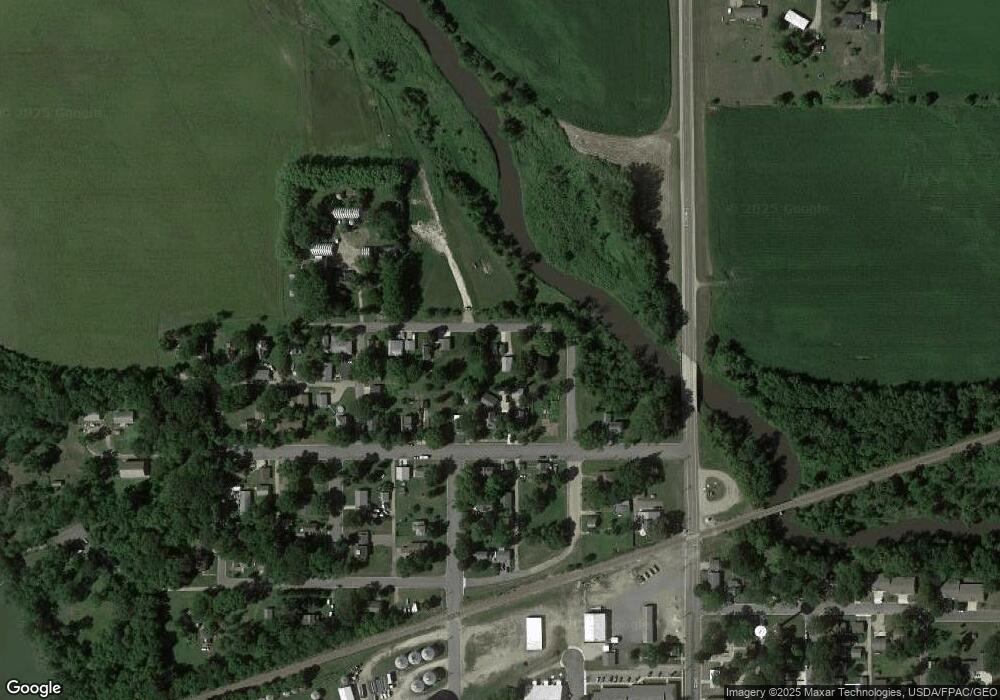
Map
Nearby Homes
- 237 5th St N
- 304 1st Ave N
- 531 2nd St N
- xxx Lot 3 Division St W
- 123 2nd Ave S
- 122 2nd Ave S
- 356 6th Ave S
- Lot 2 U S Highway 212
- XXX Us Hwy 212
- 10877 Highway 15
- 19282 108th St
- 11655 Sunset Cir
- 11742 Sunset Cir
- 7900 Lace Ave
- 7900 Lace Ave N
- Lot 2 Tagus Ave
- 631 Mowbray St
- 15092 Highway 15 S
- 1199 E 2nd St
- 22447 150th St