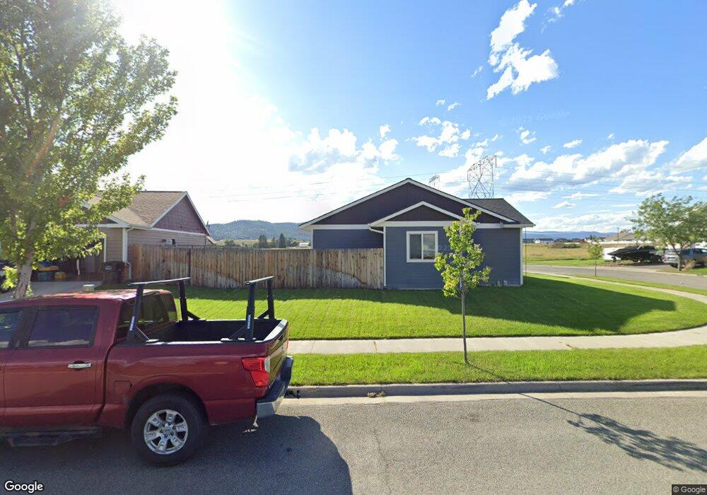
345 Battle Ridge Dr Kalispell, MT 59901
Estimated Value: $303,000 - $513,097
3
Beds
2
Baths
1,298
Sq Ft
$334/Sq Ft
Est. Value
About This Home
This home is located at 345 Battle Ridge Dr, Kalispell, MT 59901 and is currently estimated at $434,024, approximately $334 per square foot. 345 Battle Ridge Dr is a home located in Flathead County with nearby schools including West Valley Elementary School, West Valley Middle School, and Glacier High School.
Ownership History
Date
Name
Owned For
Owner Type
Purchase Details
Closed on
Sep 28, 2017
Sold by
Ron Terry Construction Inc
Bought by
Kapity Michael Allen and Kapity Elisha Sunshine
Current Estimated Value
Home Financials for this Owner
Home Financials are based on the most recent Mortgage that was taken out on this home.
Original Mortgage
$236,208
Outstanding Balance
$197,511
Interest Rate
3.86%
Mortgage Type
New Conventional
Estimated Equity
$236,513
Create a Home Valuation Report for This Property
The Home Valuation Report is an in-depth analysis detailing your home's value as well as a comparison with similar homes in the area
Home Values in the Area
Average Home Value in this Area
Purchase History
| Date | Buyer | Sale Price | Title Company |
|---|---|---|---|
| Kapity Michael Allen | -- | Insured Titles |
Source: Public Records
Mortgage History
| Date | Status | Borrower | Loan Amount |
|---|---|---|---|
| Open | Kapity Michael Allen | $236,208 |
Source: Public Records
Tax History Compared to Growth
Tax History
| Year | Tax Paid | Tax Assessment Tax Assessment Total Assessment is a certain percentage of the fair market value that is determined by local assessors to be the total taxable value of land and additions on the property. | Land | Improvement |
|---|---|---|---|---|
| 2025 | $2,457 | $497,300 | $0 | $0 |
| 2024 | $2,905 | $403,300 | $0 | $0 |
| 2023 | $3,287 | $403,300 | $0 | $0 |
| 2022 | $3,010 | $276,500 | $0 | $0 |
| 2021 | $2,851 | $276,500 | $0 | $0 |
| 2020 | $2,827 | $232,500 | $0 | $0 |
| 2019 | $2,792 | $232,500 | $0 | $0 |
| 2018 | $2,590 | $200,200 | $0 | $0 |
| 2017 | $819 | $45,569 | $0 | $0 |
| 2016 | $658 | $39,110 | $0 | $0 |
| 2015 | $653 | $39,110 | $0 | $0 |
| 2014 | $748 | $28,934 | $0 | $0 |
Source: Public Records
Map
Nearby Homes
- 101 Heavens Peak Dr
- 2130 Farm To Market Rd
- 228 Cottage Dr
- 191 Cottage Dr
- 135 Cyclone Dr
- 849 S Camas Ln
- 1216 Longfellow Trail
- 270 Triple Creek Dr
- 1280 Quarter Horse Ln
- 879 Mountain Vista Way
- 1258 Two Mile Dr
- 856 Ahern Ct
- 101 Blue Crest Dr
- 0 Farm To Market Rd Unit 24725303
- 146 Aurich Ave
- 154 Aurich Ave
- 1356 Morning Eagle Dr
- 247 Kara Dr
- 123 Cally Ln
- 118 Beville Ct
- 400 Westland Dr
- 355 Battle Ridge Dr
- 335 Battle Ridge Dr
- 405 W Land Dr
- 365 Battle Ridge Dr
- 340 Battle Ridge Dr
- 325 Battle Ridge Dr
- 375 Battle Ridge Dr
- 370 Westland Dr
- 385 Westland Dr
- 285 Short Pine Dr
- 275 Short Pine Dr
- 315 Battle Ridge Dr
- 381 Battle Ridge Dr
- 375 Westland Dr
- 360 Westland Dr
- 365 Westland Dr
- 305 Battle Ridge Dr
- 265 Short Pine Dr
- 280 Short Pine Dr