Estimated Value: $86,000 - $270,000
--
Bed
1
Bath
1,400
Sq Ft
$104/Sq Ft
Est. Value
About This Home
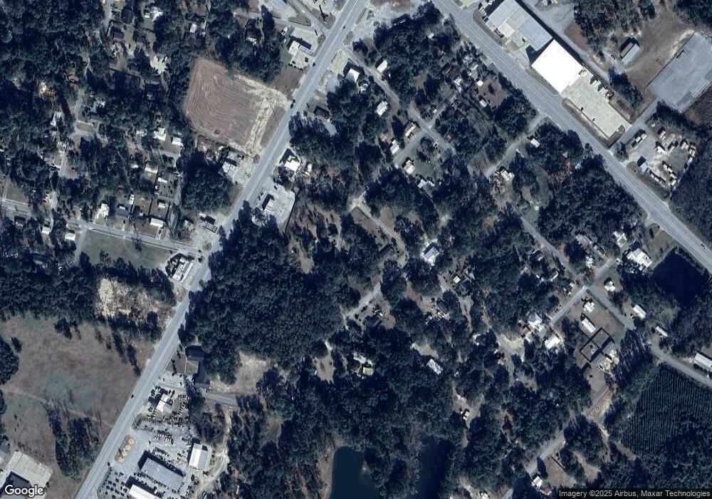
This home is located at 345 Bennett Rd, Jesup, GA 31546 and is currently estimated at $145,368, approximately $103 per square foot. 345 Bennett Rd is a home located in Wayne County with nearby schools including Jesup Elementary School, Arthur Williams Middle School, and Wayne County High School.
Ownership History
Date
Name
Owned For
Owner Type
Purchase Details
Closed on
Apr 16, 2013
Sold by
Hotchkiss Caron
Bought by
Weatherspoon Angelia F
Current Estimated Value
Home Financials for this Owner
Home Financials are based on the most recent Mortgage that was taken out on this home.
Original Mortgage
$34,366
Outstanding Balance
$6,971
Interest Rate
2.75%
Mortgage Type
FHA
Estimated Equity
$138,397
Purchase Details
Closed on
Nov 1, 1997
Sold by
Howerton Nina S
Bought by
Hotchkiss Caron
Purchase Details
Closed on
Oct 1, 1989
Bought by
Howerton Nina S
Purchase Details
Closed on
Nov 1, 1979
Create a Home Valuation Report for This Property
The Home Valuation Report is an in-depth analysis detailing your home's value as well as a comparison with similar homes in the area
Home Values in the Area
Average Home Value in this Area
Purchase History
| Date | Buyer | Sale Price | Title Company |
|---|---|---|---|
| Weatherspoon Angelia F | $35,000 | -- | |
| Hotchkiss Caron | $11,000 | -- | |
| Howerton Nina S | -- | -- | |
| -- | -- | -- |
Source: Public Records
Mortgage History
| Date | Status | Borrower | Loan Amount |
|---|---|---|---|
| Open | Weatherspoon Angelia F | $34,366 |
Source: Public Records
Tax History Compared to Growth
Tax History
| Year | Tax Paid | Tax Assessment Tax Assessment Total Assessment is a certain percentage of the fair market value that is determined by local assessors to be the total taxable value of land and additions on the property. | Land | Improvement |
|---|---|---|---|---|
| 2024 | $877 | $28,660 | $2,612 | $26,048 |
| 2023 | $901 | $25,472 | $2,612 | $22,860 |
| 2022 | $661 | $21,011 | $2,612 | $18,399 |
| 2021 | $572 | $16,970 | $2,612 | $14,358 |
| 2020 | $592 | $16,970 | $2,612 | $14,358 |
| 2019 | $610 | $16,970 | $2,612 | $14,358 |
| 2018 | $610 | $16,970 | $2,612 | $14,358 |
| 2017 | $525 | $16,970 | $2,612 | $14,358 |
| 2016 | $508 | $16,971 | $2,612 | $14,358 |
| 2014 | $420 | $16,971 | $2,612 | $14,358 |
| 2013 | -- | $16,970 | $2,612 | $14,358 |
Source: Public Records
Map
Nearby Homes
- 1312 E Plum St
- 0 Us Hwy 341 Hwy S Unit 1651906
- 0 Us Hwy 341 S
- 123 Ivy St
- 204 N Palm St
- 945 S Palm St
- 661 E Plum St
- 111 N Mahogany St
- 658 E Walnut St
- 985 Seven Oaks Rd
- 555 E Magnolia St
- 0 E Oak St
- 241 S Elm Ln
- 455 N Mahogany St
- 50 Ac Hwy 301
- 805 Littlefield St
- 412 E Orange St
- 775 Catherine St
- 1101 S Palm St
- 655 Littlefield St
- 288 Bennett Rd
- 300 Myrtle Ave
- 231 Rochelle St
- 312 Rochelle St
- 273 Delwood Ave
- 331 Myrtle Ave
- 277 Myrtle Ave
- 275 Myrtle Ave
- 330 Rochelle St
- 491 S Us Highway 301
- 318 Myrtle Ave
- 245 Delwood Ave
- 323 S Us Highway 301
- 244 Delwood Ave
- 49 TRK 1 Pb-153 Ll 49 Trk 1
- 373 Micanopy St
- 292 Micanopy St
- 0 Hwy 301 S Unit 146458
- 0 Hwy 301 S Unit 31118
- 0 Hwy 301 S Unit 31116
