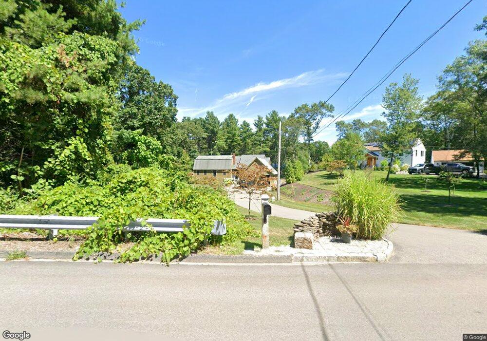
345 Bennett St Wrentham, MA 02093
Estimated Value: $835,169 - $918,000
3
Beds
2
Baths
3,259
Sq Ft
$269/Sq Ft
Est. Value
About This Home
This home is located at 345 Bennett St, Wrentham, MA 02093 and is currently estimated at $876,042, approximately $268 per square foot. 345 Bennett St is a home located in Norfolk County with nearby schools including Delaney Elementary School, Charles E Roderick, and Mercymount Country Day School.
Ownership History
Date
Name
Owned For
Owner Type
Purchase Details
Closed on
Sep 5, 1989
Sold by
Dearing John L
Bought by
Hewins Michael A
Current Estimated Value
Home Financials for this Owner
Home Financials are based on the most recent Mortgage that was taken out on this home.
Original Mortgage
$151,070
Interest Rate
9.7%
Mortgage Type
Purchase Money Mortgage
Create a Home Valuation Report for This Property
The Home Valuation Report is an in-depth analysis detailing your home's value as well as a comparison with similar homes in the area
Purchase History
| Date | Buyer | Sale Price | Title Company |
|---|---|---|---|
| Hewins Michael A | $172,900 | -- |
Source: Public Records
Mortgage History
| Date | Status | Borrower | Loan Amount |
|---|---|---|---|
| Open | Hewins Michael A | $175,000 | |
| Closed | Hewins Michael A | $148,500 | |
| Closed | Hewins Michael A | $151,070 |
Source: Public Records
Tax History Compared to Growth
Tax History
| Year | Tax Paid | Tax Assessment Tax Assessment Total Assessment is a certain percentage of the fair market value that is determined by local assessors to be the total taxable value of land and additions on the property. | Land | Improvement |
|---|---|---|---|---|
| 2025 | $8,390 | $723,900 | $302,400 | $421,500 |
| 2024 | $8,059 | $671,600 | $302,400 | $369,200 |
| 2023 | $8,223 | $651,600 | $274,800 | $376,800 |
| 2022 | $7,707 | $563,800 | $256,300 | $307,500 |
| 2021 | $7,399 | $525,900 | $223,700 | $302,200 |
| 2020 | $7,185 | $504,200 | $198,900 | $305,300 |
| 2019 | $7,119 | $504,200 | $198,900 | $305,300 |
| 2018 | $6,717 | $471,700 | $199,200 | $272,500 |
| 2017 | $5,217 | $366,100 | $195,300 | $170,800 |
| 2016 | $5,004 | $350,400 | $189,700 | $160,700 |
| 2015 | $4,855 | $324,100 | $182,300 | $141,800 |
| 2014 | $4,812 | $314,300 | $175,400 | $138,900 |
Source: Public Records
Map
Nearby Homes
- 613 West St
- 440 Chestnut St
- 80 Carriage House Ln
- Lot 1 - Blueberry 2 Car Plan at King Philip Estates
- Lot 8 - Blueberry 2 Car Plan at King Philip Estates
- Lot 5 - Hughes 2 car Plan at King Philip Estates
- Lot 6 - Blueberry 3 Car Plan at King Philip Estates
- 10 Earle Stewart Ln Unit Lot 5
- Lot 2 - Camden 2 Car Plan at King Philip Estates
- Lot 7 - Cedar Plan at King Philip Estates
- Lot 4 - Hemingway 2 Car Plan at King Philip Estates
- 14 Earle Stewart Ln
- Lot 3 - Blueberry 2 Car Plan at King Philip Estates
- 1222 South St
- 955 Summer St
- 11 Earle Stewart Ln
- 131 Creek St Unit 7
- 20 Field Cir
- 19 Chestnut Lot 0
- 18 Huntington Ave
- 355 Bennett St
- 337 Bennett St
- 331 Bennett St
- 365 Bennett St
- 330 Bennett St
- 350 Bennett St
- 325 Bennett St
- 370 Bennett St
- 375 Bennett St
- 320 Bennett St
- 265 Bennett St
- 385 Bennett St
- 305 Bennett St
- 305 Bennett St Unit 305
- 275 Bennett St
- 285 Bennett St
- 295 Bennett St
- 315 Bennett St
- 251 Bennett St
- 318 Bennett St